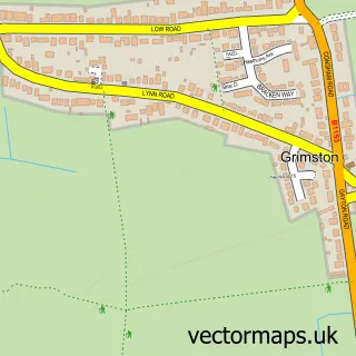
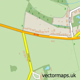
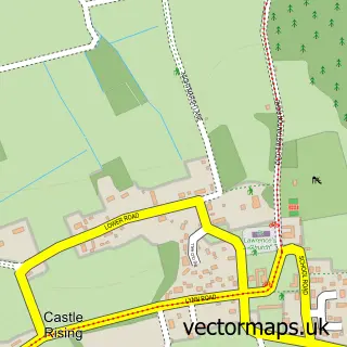
This Pott Row street map is a detailed vector street map covering a 750m x 750m area. Select a larger area to create and download your own vector street map of Pott Row.
The 750-metre map sample for Pott Row covers 262 mapped buildings and approximately 8.7 km of road detail, of which 10 named roads are named. The immediate area includes 1 GP surgery within 2 miles and 1 MOT station within 2 miles. The wider area around Pott Row features 1 tourism point of interest and 1 hotel. To create a larger or custom map of Pott Row, the map builder lets you define your own coverage area and download editable SVG, PDF and PNG files.
Create a larger editable map of Pott Row
Choose any area you need and generate a high-quality vector map instantly. Perfect for print, planning, design, business and personal use.

This Pott Row street map in Norfolk is available as downloadable SVG, PDF and PNG map files, or as a printed map for planning, business, display, education, local information and design work. You can also create a larger custom map area using the map selector.
What this Pott Row map sample shows
Pott Row lies within Grimston Cp parish, part of Gayton & Grimston ward in the King's Lynn And West Norfolk District (B) local authority area. The postcode geography for this area includes the PE postcode area, the PE32 postcode district and the PE32 1 postcode sector. Residents fall under the Nhs Norfolk And Waveney Integrated Care Board for NHS services.
Local features near Pott Row
Within 2 milesAmenities and services in and around Pott Row.
Administrative and postcode information for Pott Row
The local authority covering Pott Row is King's Lynn And West Norfolk District (B), within the county of Norfolk. The settlement lies within Gayton & Grimston ward and Grimston Cp civil parish. The PE32 postcode district and PE32 1 postcode sector serve the immediate area. NHS provision in the area is delivered through The Queen Elizabeth Hospital, King's Lynn, Nhs Foundation Trust.
Nearby street map samples around Pott Row

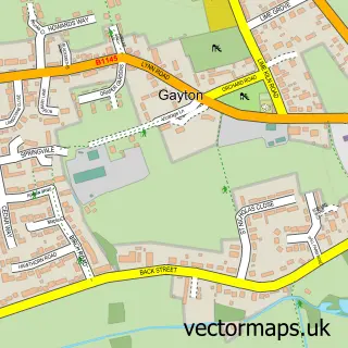
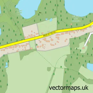
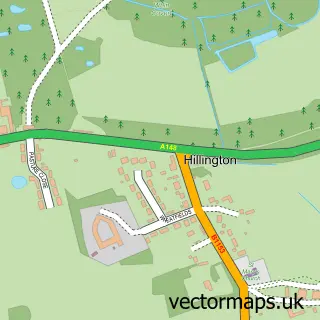
More street maps in Norfolk
750 metre map area coverage
Boundary, postcode and point of interest information for the 750m x 750m rectangle centred on this sample map.
Boundaries containing map centre
Constituency: North West Norfolk Co Const
County: Norfolk County
District: King's Lynn and West Norfolk District (B)
Icb: NHS Norfolk and Waveney ICB
Parish: Grimston CP
Police Force: norfolk
Postcode District: PE32
Postcode Sector: PE32 1
Ward: Gayton & Grimston Ward
Nearby boundaries intersecting sample
No additional intersecting boundaries found.
Postcode coverage
POI category counts
Elementary School: 2
Accountant: 1
Flowers And Gifts Shop: 1
Forestry Service: 1
Furniture Store: 1
Horse Boarding: 1
Hotel: 1
Hunting And Fishing Supplies: 1
Landmark And Historical Building: 1
Real Estate Agent: 1
Sample points of interest
- Barn Owl Bookkeeping
- Holly Meadows School
- Pott Row First School
- Direct Plants
- E & P Thompson
- Oak & Pine Parlour
- Sovereign Stables
- The Old Cowshed
- Direct Koi Outlet , pottrow
- Pott Row
- C J Buffham Services
- APB Locks
Create a larger editable map of Pott Row
This sample shows only a 750 metre area. To create a larger map of Pott Row, use our map builder to choose your own coverage area, add titles and download editable SVG, PDF and PNG files.
Create a custom map of Pott Row