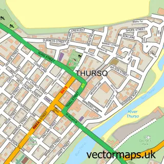
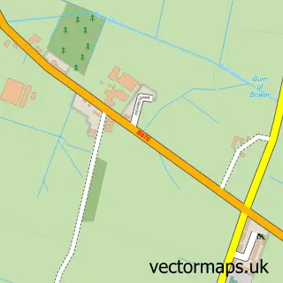
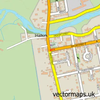
This Castletown street map is a detailed vector street map covering a 750m x 750m area. Select a larger area to create and download your own vector street map of Castletown.
The 750-metre map sample for Castletown covers 115 mapped buildings and approximately 14.4 km of road detail, of which 19 named roads are named. The immediate area includes 1 GP surgery and 1 MOT station. The wider area around Castletown features 1 tourism point of interest, 1 food and drink venue and 2 hotels. To create a larger or custom map of Castletown, the map builder lets you define your own coverage area and download editable SVG, PDF and PNG files.
Create a larger editable map of Castletown
Choose any area you need and generate a high-quality vector map instantly. Perfect for print, planning, design, business and personal use.

This Castletown street map in Caithness is available as downloadable SVG, PDF and PNG map files, or as a printed map for planning, business, display, education, local information and design work. You can also create a larger custom map area using the map selector.
What this Castletown map sample shows
Castletown lies within Highland parish, part of Thurso And Northwest Caithness ward in the Highland local authority area. The postcode geography for this area includes the KW postcode area, the KW14 postcode district and the KW14 8 postcode sector. Residents fall under the Highland for NHS services.
Local features near Castletown
Within 2 milesAmenities and services in and around Castletown.
Administrative and postcode information for Castletown
Castletown lies within Highland parish, part of Thurso And Northwest Caithness ward in the Highland local authority area. The postcode geography for this area includes the KW postcode area, the KW14 postcode district and the KW14 8 postcode sector. Residents fall under the Highland for NHS services.
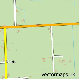
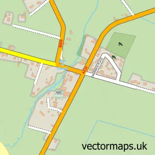
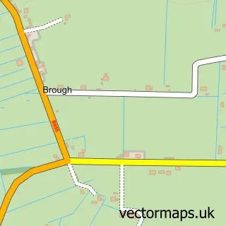
Nearby street map samples around Castletown

More street maps in Caithness
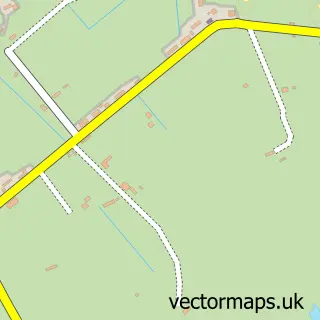
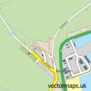
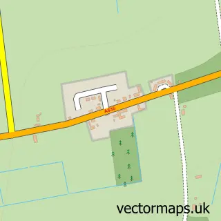
750 metre map area coverage
Boundary, postcode and point of interest information for the 750m x 750m rectangle centred on this sample map.
Boundaries containing map centre
Constituency: Caithness, Sutherland and Easter Ross Co Const
District: Highland
Icb: Highland
Postcode District: KW14
Postcode Sector: KW14 8
Ward: Thurso and Northwest Caithness Ward
Nearby boundaries intersecting sample
No additional intersecting boundaries found.
Postcode coverage
POI category counts
Post Office: 3
Beauty Salon: 2
Butcher Shop: 2
Convenience Store: 2
Doctor: 2
Gas Station: 2
Hotel: 2
Atms: 1
Attractions And Activities: 1
Automotive Repair: 1
Sample points of interest
- CJ Lang (Spar) - Castletown
- Castletown Greenhouse
- A and L Motors
- RBS
- Dunnet Beach
- The Beauty House
- The Secret Garden & B'Dazzled Salon
- Greenland House
- Castletown Butchers
- Castletown butchers&grocer's
- Olrig
- Castletown and Community Free Church
Create a larger editable map of Castletown
This sample shows only a 750 metre area. To create a larger map of Castletown, use our map builder to choose your own coverage area, add titles and download editable SVG, PDF and PNG files.
Create a custom map of Castletown