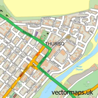
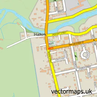
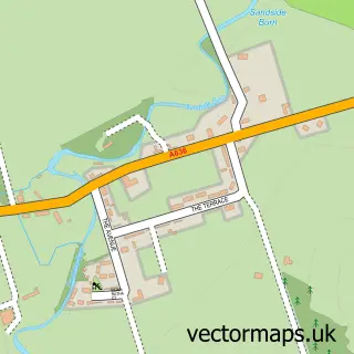
This Scrabster street map is a detailed vector street map covering a 750m x 750m area. Select a larger area to create and download your own vector street map of Scrabster.
The 750-metre map sample for Scrabster covers 37 mapped buildings and approximately 7.9 km of road detail, of which 4 named roads are named. The immediate area includes 2 GP surgeries within 2 miles, 1 pub and 6 MOT stations within 2 miles. The wider area around Scrabster features 3 food and drink venues, 1 hotel and 1 campsite within 2 miles. To create a larger or custom map of Scrabster, the map builder lets you define your own coverage area and download editable SVG, PDF and PNG files.
Create a larger editable map of Scrabster
Choose any area you need and generate a high-quality vector map instantly. Perfect for print, planning, design, business and personal use.

This Scrabster street map in Caithness is available as downloadable SVG, PDF and PNG map files, or as a printed map for planning, business, display, education, local information and design work. You can also create a larger custom map area using the map selector.
What this Scrabster map sample shows
Scrabster lies within Highland parish, part of Thurso And Northwest Caithness ward in the Highland local authority area. The postcode geography for this area includes the KW postcode area, the KW14 postcode district and the KW14 7 postcode sector. Residents fall under the Highland for NHS services.
Local features near Scrabster
Within 2 milesAmenities and services in and around Scrabster.
Administrative and postcode information for Scrabster
The local authority covering Scrabster is Highland, within the county of Caithness. The settlement lies within Thurso And Northwest Caithness ward and Highland civil parish. The KW14 postcode district and KW14 7 postcode sector serve the immediate area. NHS provision in the area is delivered through Highland.
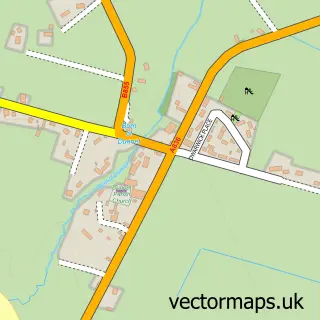
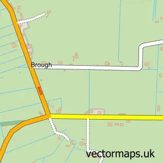
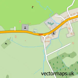
Nearby street map samples around Scrabster

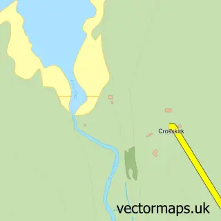
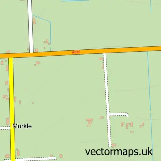
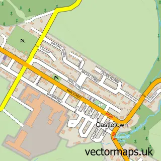
More street maps in Caithness
750 metre map area coverage
Boundary, postcode and point of interest information for the 750m x 750m rectangle centred on this sample map.
Boundaries containing map centre
Constituency: Caithness, Sutherland and Easter Ross Co Const
District: Highland
Icb: Highland
Postcode District: KW14
Postcode Sector: KW14 7
Ward: Thurso and Northwest Caithness Ward
Nearby boundaries intersecting sample
No additional intersecting boundaries found.
Postcode coverage
POI category counts
Building Supply Store: 1
Business To Business: 1
Cafe: 1
Charity Organization: 1
Ethical Grocery: 1
Fast Food Restaurant: 1
Fishmonger: 1
Food: 1
Freight And Cargo Service: 1
Hotel: 1
Sample points of interest
- MDK Plant Services Ltd
- Certas Energy - Fuel Depot
- Peerie Cafe
- Scrabster Community Association
- J P L Shellfish Scotland Ltd.
- Popeyes Pub Scrabster
- Bells Seafood
- Scrabster Seafoods Ltd
- Steven D & Son
- Scrabster Harbour Trust
- Holburn Head Lighthouse
- The Ferry Inn Scrabster
Create a larger editable map of Scrabster
This sample shows only a 750 metre area. To create a larger map of Scrabster, use our map builder to choose your own coverage area, add titles and download editable SVG, PDF and PNG files.
Create a custom map of Scrabster