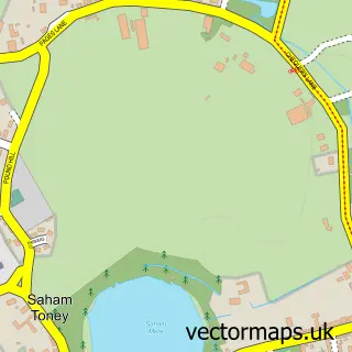
This Caston street map is a detailed vector street map covering a 750m x 750m area. Select a larger area to create and download your own vector street map of Caston.
The 750-metre map sample for Caston covers 136 mapped buildings and approximately 10.0 km of road detail, of which 5 named roads are named. The immediate area includes 1 pub and 1 MOT station within 2 miles. The wider area around Caston features 1 food and drink venue. To create a larger or custom map of Caston, the map builder lets you define your own coverage area and download editable SVG, PDF and PNG files.
Create a larger editable map of Caston
Choose any area you need and generate a high-quality vector map instantly. Perfect for print, planning, design, business and personal use.

This Caston street map in Norfolk is available as downloadable SVG, PDF and PNG map files, or as a printed map for planning, business, display, education, local information and design work. You can also create a larger custom map area using the map selector.
What this Caston map sample shows
Caston lies within Caston Cp parish, part of All Saints & Wayland ward in the Breckland District local authority area. The postcode geography for this area includes the NR postcode area, the NR17 postcode district and the NR17 1 postcode sector. Residents fall under the Nhs Norfolk And Waveney Integrated Care Board for NHS services.
Local features near Caston
Within 2 milesAmenities and services in and around Caston.
Administrative and postcode information for Caston
The local authority covering Caston is Breckland District, within the county of Norfolk. The settlement lies within All Saints & Wayland ward and Caston Cp civil parish. The NR17 postcode district and NR17 1 postcode sector serve the immediate area. NHS provision in the area is delivered through Norfolk And Norwich University Hospitals Nhs Foundation Trust.
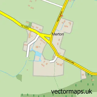
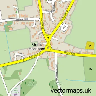
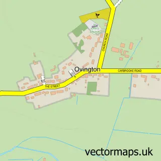
Nearby street map samples around Caston

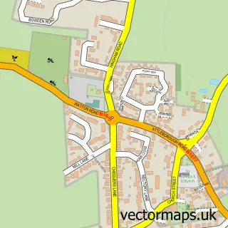
More street maps in Norfolk
750 metre map area coverage
Boundary, postcode and point of interest information for the 750m x 750m rectangle centred on this sample map.
Boundaries containing map centre
Constituency: Mid Norfolk Co Const
County: Norfolk County
District: Breckland District
Icb: NHS Norfolk and Waveney ICB
Parish: Caston CP
Police Force: norfolk
Postcode District: NR17
Postcode Sector: NR17 1
Ward: All Saints & Wayland Ward
Nearby boundaries intersecting sample
No additional intersecting boundaries found.
Postcode coverage
POI category counts
Advertising Agency: 1
Anglican Church: 1
Church Cathedral: 1
Contractor: 1
It Service And Computer Repair: 1
Martial Arts Club: 1
Pub: 1
Sample points of interest
- Jaki Porter
- Caston: Holy Cross
- Caston Church
- Anglian Fencing
- JJ Computer Systems
- Ishin Ryu Ju Jitsu Headquarters
- The Red Lion
Create a larger editable map of Caston
This sample shows only a 750 metre area. To create a larger map of Caston, use our map builder to choose your own coverage area, add titles and download editable SVG, PDF and PNG files.
Create a custom map of Caston