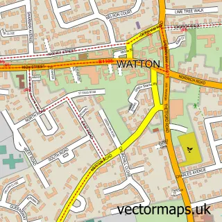
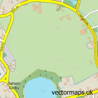
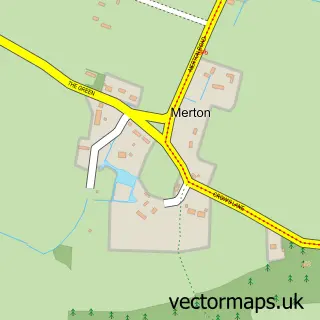
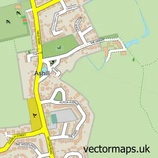
This Ovington street map is a detailed vector street map covering a 750m x 750m area. Select a larger area to create and download your own vector street map of Ovington.
The 750-metre map sample for Ovington covers 94 mapped buildings and approximately 5.0 km of road detail, of which 5 named roads are named. The immediate area includes 1 GP surgery within 2 miles, 1 pub and 5 MOT stations within 2 miles. The wider area around Ovington features 1 food and drink venue. To create a larger or custom map of Ovington, the map builder lets you define your own coverage area and download editable SVG, PDF and PNG files.
Create a larger editable map of Ovington
Choose any area you need and generate a high-quality vector map instantly. Perfect for print, planning, design, business and personal use.

This Ovington street map in Norfolk is available as downloadable SVG, PDF and PNG map files, or as a printed map for planning, business, display, education, local information and design work. You can also create a larger custom map area using the map selector.
What this Ovington map sample shows
Ovington lies within Ovington Cp parish, part of Saham Toney ward in the Breckland District local authority area. The postcode geography for this area includes the IP postcode area, the IP25 postcode district and the IP25 6 postcode sector. Residents fall under the Nhs Norfolk And Waveney Integrated Care Board for NHS services.
Local features near Ovington
Within 2 milesAmenities and services in and around Ovington.
Administrative and postcode information for Ovington
The local authority covering Ovington is Breckland District, within the county of Norfolk. The settlement lies within Saham Toney ward and Ovington Cp civil parish. The IP25 postcode district and IP25 6 postcode sector serve the immediate area. NHS provision in the area is delivered through Norfolk And Norwich University Hospitals Nhs Foundation Trust.
Nearby street map samples around Ovington


More street maps in Norfolk
750 metre map area coverage
Boundary, postcode and point of interest information for the 750m x 750m rectangle centred on this sample map.
Boundaries containing map centre
Constituency: Mid Norfolk Co Const
County: Norfolk County
District: Breckland District
Icb: NHS Norfolk and Waveney ICB
Parish: Ovington CP
Police Force: norfolk
Postcode District: IP25
Postcode Sector: IP25 6
Ward: Saham Toney Ward
Nearby boundaries intersecting sample
Parish: Watton CP
Ward: Watton Ward
Postcode coverage
POI category counts
Active Life: 1
Anglican Church: 1
Community Center: 1
Community Services Non Profits: 1
Dog Trainer: 1
It Service And Computer Repair: 1
Pub: 1
Resort: 1
Seafood Restaurant: 1
Swimming Pool: 1
Sample points of interest
- Anglia Training Associates
- Ovington: St John the Evangelist
- Ovington Village Hall, Norfolk
- Ovington Youth Club, Norfolk
- Dogbasics.co.uk
- Down to Earth Computing
- Windmill Inn
- The Olde Windmill Inn
- The Cafe at Brovey Lair
- Fair view swimming pool ovington
Create a larger editable map of Ovington
This sample shows only a 750 metre area. To create a larger map of Ovington, use our map builder to choose your own coverage area, add titles and download editable SVG, PDF and PNG files.
Create a custom map of Ovington