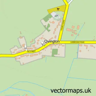
This Shipdham street map is a detailed vector street map covering a 750m x 750m area. Select a larger area to create and download your own vector street map of Shipdham.
The 750-metre map sample for Shipdham covers 348 mapped buildings and approximately 11.0 km of road detail, of which 24 named roads are named. The immediate area includes 1 GP surgery, 1 pub and 1 MOT station, with 4 within 2 miles. The wider area around Shipdham features 1 tourism point of interest, 1 food and drink venue and 2 hotels. To create a larger or custom map of Shipdham, the map builder lets you define your own coverage area and download editable SVG, PDF and PNG files.
Create a larger editable map of Shipdham
Choose any area you need and generate a high-quality vector map instantly. Perfect for print, planning, design, business and personal use.

This Shipdham street map in Norfolk is available as downloadable SVG, PDF and PNG map files, or as a printed map for planning, business, display, education, local information and design work. You can also create a larger custom map area using the map selector.
What this Shipdham map sample shows
Shipdham lies within Shipdham Cp parish, part of Shipdham-With-Scarning ward in the Breckland District local authority area. The postcode geography for this area includes the IP postcode area, the IP25 postcode district and the IP25 7 postcode sector. Residents fall under the Nhs Norfolk And Waveney Integrated Care Board for NHS services.
Local features near Shipdham
Within 2 milesAmenities and services in and around Shipdham.
Administrative and postcode information for Shipdham
Shipdham lies within Shipdham Cp parish, part of Shipdham-With-Scarning ward in the Breckland District local authority area. The postcode geography for this area includes the IP postcode area, the IP25 postcode district and the IP25 7 postcode sector. Residents fall under the Nhs Norfolk And Waveney Integrated Care Board for NHS services.
Nearby street map samples around Shipdham
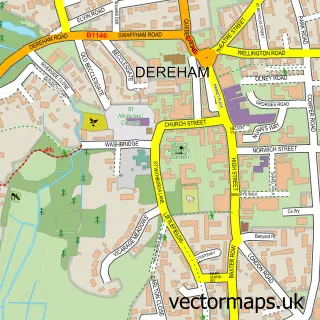

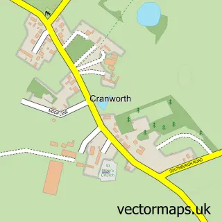
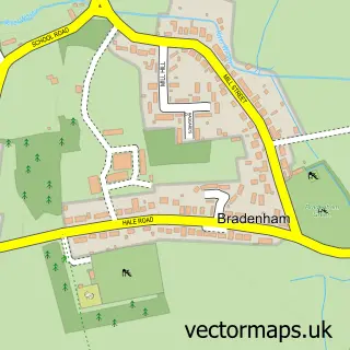
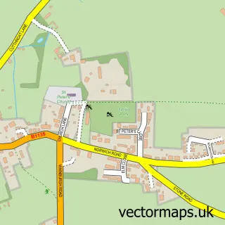

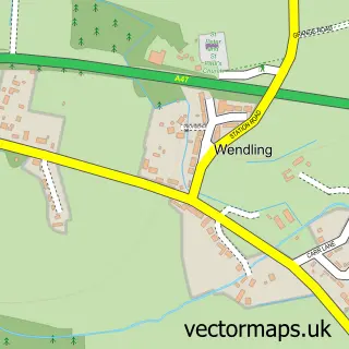
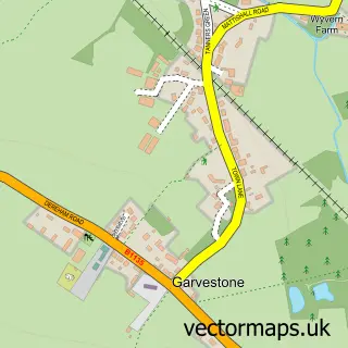
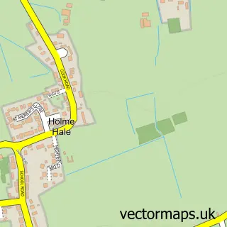
More street maps in Norfolk
750 metre map area coverage
Boundary, postcode and point of interest information for the 750m x 750m rectangle centred on this sample map.
Boundaries containing map centre
Constituency: Mid Norfolk Co Const
County: Norfolk County
District: Breckland District
Icb: NHS Norfolk and Waveney ICB
Parish: Shipdham CP
Police Force: norfolk
Postcode District: IP25
Postcode Sector: IP25 7
Ward: Shipdham-with-Scarning Ward
Nearby boundaries intersecting sample
No additional intersecting boundaries found.
Postcode coverage
POI category counts
Doctor: 4
Beauty Salon: 2
Church Cathedral: 2
Hotel: 2
Amateur Sports Team: 1
Anglican Church: 1
Automotive Repair: 1
Bar: 1
Beauty And Spa: 1
Child Care And Day Care: 1
Sample points of interest
- Shipdham United Football Club
- Shipdham: All Saints
- Ponders Garage
- TIME 2 EAT Shipdham
- Forty Four Hair Salon
- Hattie’s
- Spirit Of Beauty
- Shipton Play Group
- All Saints Church
- Shipdham Community Church
- Hunton and Overton LLP
- Shipdham Pre-School
Create a larger editable map of Shipdham
This sample shows only a 750 metre area. To create a larger map of Shipdham, use our map builder to choose your own coverage area, add titles and download editable SVG, PDF and PNG files.
Create a custom map of Shipdham