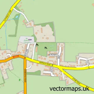
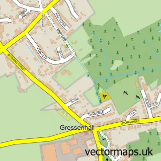
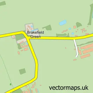
This Dereham street map is a detailed vector street map covering a 750m x 750m area. Select a larger area to create and download your own vector street map of Dereham.
The 750-metre map sample for Dereham covers 396 mapped buildings and approximately 15.7 km of road detail, of which 48 named roads are named. The immediate area includes 1 school, 2 GP surgeries within 2 miles, 12 pubs and 8 MOT stations within 2 miles. The wider area around Dereham features 7 tourism points of interest, 26 food and drink venues and 4 hotels. To create a larger or custom map of Dereham, the map builder lets you define your own coverage area and download editable SVG, PDF and PNG files.
Create a larger editable map of Dereham
Choose any area you need and generate a high-quality vector map instantly. Perfect for print, planning, design, business and personal use.

This Dereham street map in Norfolk is available as downloadable SVG, PDF and PNG map files, or as a printed map for planning, business, display, education, local information and design work. You can also create a larger custom map area using the map selector.
What this Dereham map sample shows
Dereham lies within Dereham Cp parish, part of Dereham Neatherd ward in the Breckland District local authority area. The postcode geography for this area includes the NR postcode area, the NR19 postcode district and the NR19 2 postcode sector. Residents fall under the Nhs Norfolk And Waveney Integrated Care Board for NHS services.
Local features near Dereham
Within 2 milesAmenities and services in and around Dereham.
Administrative and postcode information for Dereham
The local authority covering Dereham is Breckland District, within the county of Norfolk. The settlement lies within Dereham Neatherd ward and Dereham Cp civil parish. The NR19 postcode district and NR19 2 postcode sector serve the immediate area. NHS provision in the area is delivered through Norfolk And Norwich University Hospitals Nhs Foundation Trust.
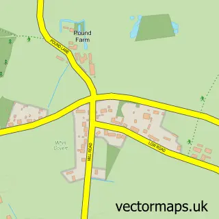
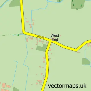
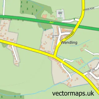
Nearby street map samples around Dereham

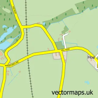
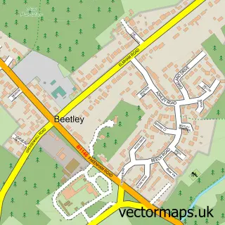
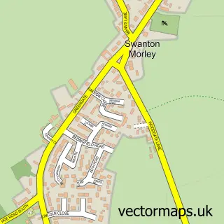
More street maps in Norfolk
750 metre map area coverage
Boundary, postcode and point of interest information for the 750m x 750m rectangle centred on this sample map.
Boundaries containing map centre
Constituency: Mid Norfolk Co Const
County: Norfolk County
District: Breckland District
Icb: NHS Norfolk and Waveney ICB
Parish: Dereham CP
Police Force: norfolk
Postcode District: NR19
Postcode Sector: NR19 1
Ward: Dereham Withburga Ward
Nearby boundaries intersecting sample
Parish: Scarning CP
Postcode Sector: NR19 2
Ward: Dereham Neatherd Ward, Shipdham-with-Scarning Ward
Postcode coverage
POI category counts
Hair Salon: 15
Pub: 12
Barber: 10
Beauty Salon: 10
Clothing Store: 10
Flowers And Gifts Shop: 9
Nail Salon: 9
Professional Services: 8
Real Estate Agent: 8
Bank Credit Union: 7
Sample points of interest
- Comprotec UK Ltd
- Fox & Co Chartered Accountants
- Thain Wildbur & Co.
- Westgarth Turner
- AR Sport Science
- Giggles
- Silver Taxis
- Dereham Boxing Club
- East Dereham: St Nicholas
- Petsafe
- Venture Farm Animal Trust
- At the Gallery Dereham
Create a larger editable map of Dereham
This sample shows only a 750 metre area. To create a larger map of Dereham, use our map builder to choose your own coverage area, add titles and download editable SVG, PDF and PNG files.
Create a custom map of Dereham