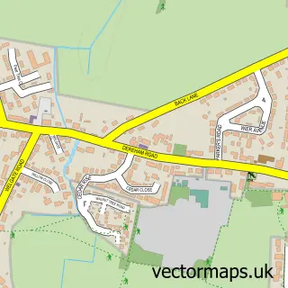
This North Tuddenham street map is a detailed vector street map covering a 750m x 750m area. Select a larger area to create and download your own vector street map of North Tuddenham.
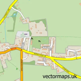
The 750-metre map sample for North Tuddenham covers 87 mapped buildings and approximately 7.9 km of road detail, of which 3 named roads are named. The immediate area includes 1 MOT station. The wider area around North Tuddenham features 1 campsite within 2 miles. To create a larger or custom map of North Tuddenham, the map builder lets you define your own coverage area and download editable SVG, PDF and PNG files.
Create a larger editable map of North Tuddenham
Choose any area you need and generate a high-quality vector map instantly. Perfect for print, planning, design, business and personal use.

This North Tuddenham street map in Norfolk is available as downloadable SVG, PDF and PNG map files, or as a printed map for planning, business, display, education, local information and design work. You can also create a larger custom map area using the map selector.
What this North Tuddenham map sample shows
North Tuddenham lies within North Tuddenham Cp parish, part of Upper Wensum ward in the Breckland District local authority area. The postcode geography for this area includes the NR postcode area, the NR20 postcode district and the NR20 3 postcode sector. Residents fall under the Nhs Norfolk And Waveney Integrated Care Board for NHS services.
Local features near North Tuddenham
Within 2 milesAmenities and services in and around North Tuddenham.
Administrative and postcode information for North Tuddenham
North Tuddenham lies within North Tuddenham Cp parish, part of Upper Wensum ward in the Breckland District local authority area. The postcode geography for this area includes the NR postcode area, the NR20 postcode district and the NR20 3 postcode sector. Residents fall under the Nhs Norfolk And Waveney Integrated Care Board for NHS services.
Nearby street map samples around North Tuddenham

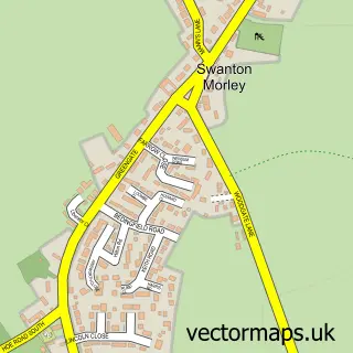
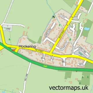
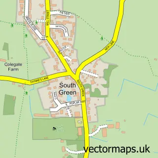
More street maps in Norfolk
750 metre map area coverage
Boundary, postcode and point of interest information for the 750m x 750m rectangle centred on this sample map.
Boundaries containing map centre
Constituency: Mid Norfolk Co Const
County: Norfolk County
District: Breckland District
Icb: NHS Norfolk and Waveney ICB
Parish: North Tuddenham CP
Police Force: norfolk
Postcode District: NR20
Postcode Sector: NR20 3
Ward: Upper Wensum Ward
Nearby boundaries intersecting sample
No additional intersecting boundaries found.
Postcode coverage
POI category counts
Automotive Repair: 1
Equestrian Facility: 1
Gents Tailor: 1
Ice Cream Shop: 1
Shopping: 1
Tree Services: 1
Sample points of interest
- North Tuddenham Garage Recovery
- Nessa's Tack Shop
- Denise's Sewing Lodge
- Dann's
- The Lodge Frenchic Shop Dereham Norfolk
- Norfolk Trees
Create a larger editable map of North Tuddenham
This sample shows only a 750 metre area. To create a larger map of North Tuddenham, use our map builder to choose your own coverage area, add titles and download editable SVG, PDF and PNG files.
Create a custom map of North Tuddenham