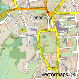
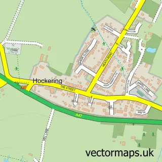
This South Green street map is a detailed vector street map covering a 750m x 750m area. Select a larger area to create and download your own vector street map of South Green.
The 750-metre map sample for South Green covers 166 mapped buildings and approximately 6.2 km of road detail, of which 9 named roads are named. The immediate area includes 1 GP surgery within 2 miles and 3 MOT stations within 2 miles. The wider area around South Green features 2 food and drink venues. To create a larger or custom map of South Green, the map builder lets you define your own coverage area and download editable SVG, PDF and PNG files.
Create a larger editable map of South Green
Choose any area you need and generate a high-quality vector map instantly. Perfect for print, planning, design, business and personal use.

This South Green street map in Norfolk is available as downloadable SVG, PDF and PNG map files, or as a printed map for planning, business, display, education, local information and design work. You can also create a larger custom map area using the map selector.
What this South Green map sample shows
South Green lies within Mattishall Cp parish, part of Mattishall ward in the Breckland District local authority area. The postcode geography for this area includes the NR postcode area, the NR20 postcode district and the NR20 3 postcode sector. Residents fall under the Nhs Norfolk And Waveney Integrated Care Board for NHS services.
Local features near South Green
Within 2 milesAmenities and services in and around South Green.
Administrative and postcode information for South Green
South Green lies within Mattishall Cp parish, part of Mattishall ward in the Breckland District local authority area. The postcode geography for this area includes the NR postcode area, the NR20 postcode district and the NR20 3 postcode sector. Residents fall under the Nhs Norfolk And Waveney Integrated Care Board for NHS services.
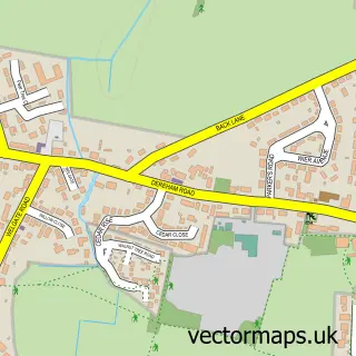
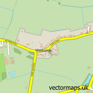
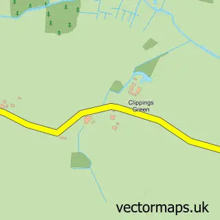
Nearby street map samples around South Green

More street maps in Norfolk
750 metre map area coverage
Boundary, postcode and point of interest information for the 750m x 750m rectangle centred on this sample map.
Boundaries containing map centre
Constituency: Mid Norfolk Co Const
County: Norfolk County
District: Breckland District
Icb: NHS Norfolk and Waveney ICB
Parish: Mattishall CP
Police Force: norfolk
Postcode District: NR20
Postcode Sector: NR20 3
Ward: Mattishall Ward
Nearby boundaries intersecting sample
No additional intersecting boundaries found.
Postcode coverage
POI category counts
Cafe: 2
Education: 2
Gym: 2
Animal Shelter: 1
Assisted Living Facility: 1
Beauty And Spa: 1
Carpet Cleaning: 1
Electronics: 1
Event Planning: 1
Home Service: 1
Sample points of interest
- Frogs Hall Kennels
- Conquest Care Homes
- Beauty Bridal Wedding Hair and Makeup
- Cafe Verde
- South Green Cafe Bar
- Cleanright
- Poultec Training Limited
- Poultec Training Ltd.
- Norton Domestic Repairs
- South Green
- Gymtec Fitness
- NR Foundation Wellbeing Hub
Create a larger editable map of South Green
This sample shows only a 750 metre area. To create a larger map of South Green, use our map builder to choose your own coverage area, add titles and download editable SVG, PDF and PNG files.
Create a custom map of South Green