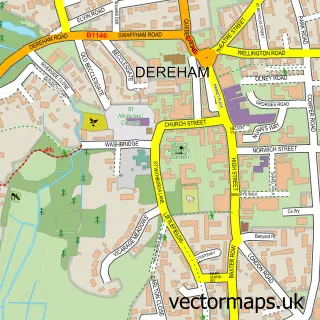
This Swanton Morley street map is a detailed vector street map covering a 750m x 750m area. Select a larger area to create and download your own vector street map of Swanton Morley.
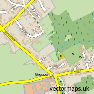
The 750-metre map sample for Swanton Morley covers 215 mapped buildings and approximately 9.6 km of road detail, of which 18 named roads are named. The immediate area includes 1 pub and 2 MOT stations within 2 miles. The wider area around Swanton Morley features 1 food and drink venue, 1 hotel and 1 campsite within 2 miles. To create a larger or custom map of Swanton Morley, the map builder lets you define your own coverage area and download editable SVG, PDF and PNG files.
Create a larger editable map of Swanton Morley
Choose any area you need and generate a high-quality vector map instantly. Perfect for print, planning, design, business and personal use.

This Swanton Morley street map in Norfolk is available as downloadable SVG, PDF and PNG map files, or as a printed map for planning, business, display, education, local information and design work. You can also create a larger custom map area using the map selector.
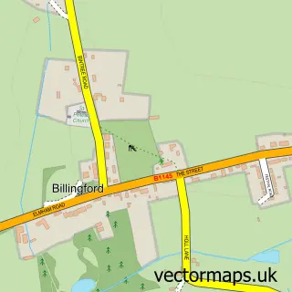
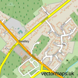
What this Swanton Morley map sample shows
Swanton Morley lies within Swanton Morley Cp parish, part of Lincoln ward in the Breckland District local authority area. The postcode geography for this area includes the NR postcode area, the NR20 postcode district and the NR20 4 postcode sector. Residents fall under the Nhs Norfolk And Waveney Integrated Care Board for NHS services.
Local features near Swanton Morley
Within 2 milesAmenities and services in and around Swanton Morley.
Administrative and postcode information for Swanton Morley
Swanton Morley lies within Swanton Morley Cp parish, part of Lincoln ward in the Breckland District local authority area. The postcode geography for this area includes the NR postcode area, the NR20 postcode district and the NR20 4 postcode sector. Residents fall under the Nhs Norfolk And Waveney Integrated Care Board for NHS services.
Nearby street map samples around Swanton Morley

More street maps in Norfolk
750 metre map area coverage
Boundary, postcode and point of interest information for the 750m x 750m rectangle centred on this sample map.
Boundaries containing map centre
Constituency: Mid Norfolk Co Const
County: Norfolk County
District: Breckland District
Icb: NHS Norfolk and Waveney ICB
Parish: Swanton Morley CP
Police Force: norfolk
Postcode District: NR20
Postcode Sector: NR20 4
Ward: Lincoln Ward
Nearby boundaries intersecting sample
No additional intersecting boundaries found.
Postcode coverage
POI category counts
Professional Services: 2
Property Management: 2
Animal Shelter: 1
Employment Agencies: 1
Gym: 1
Hotel: 1
Playground: 1
Pub: 1
Sports Club And League: 1
Web Designer: 1
Sample points of interest
- Eastern German Shepherd Rescue
- Eng Tech Recruitment
- Cockers FC
- Maple Barns
- Gooseberry Hill Play Area
- Sarah Smith Photography
- Swanton Weddings
- D J Harris Property Maintenance
- D J Harris Property Maintenance
- The Angel
- Swanton Morley Cricket Club
- Example Marketing & Web Design
Create a larger editable map of Swanton Morley
This sample shows only a 750 metre area. To create a larger map of Swanton Morley, use our map builder to choose your own coverage area, add titles and download editable SVG, PDF and PNG files.
Create a custom map of Swanton Morley