This Cellardyke street map is a detailed vector street map covering a 750m x 750m area. Select a larger area to create and download your own vector street map of Cellardyke.
The 750-metre map sample for Cellardyke covers 147 mapped buildings and approximately 15.9 km of road detail, of which 36 named roads are named. The immediate area includes 1 GP surgery, with 2 within 2 miles, 1 pub and 2 MOT stations within 2 miles. The wider area around Cellardyke features 1 tourism point of interest, 5 food and drink venues and 3 hotels. To create a larger or custom map of Cellardyke, the map builder lets you define your own coverage area and download editable SVG, PDF and PNG files.
Create a larger editable map of Cellardyke
Choose any area you need and generate a high-quality vector map instantly. Perfect for print, planning, design, business and personal use.

This Cellardyke street map in Fife is available as downloadable SVG, PDF and PNG map files, or as a printed map for planning, business, display, education, local information and design work. You can also create a larger custom map area using the map selector.
What this Cellardyke map sample shows
Cellardyke lies within Fife parish, part of East Neuk And Landward ward in the Fife local authority area. The postcode geography for this area includes the KY postcode area, the KY10 postcode district and the KY10 3 postcode sector. Residents fall under the Fife for NHS services.
Local features near Cellardyke
Within 2 milesAmenities and services in and around Cellardyke.
Administrative and postcode information for Cellardyke
Cellardyke lies within Fife parish, part of East Neuk And Landward ward in the Fife local authority area. The postcode geography for this area includes the KY postcode area, the KY10 postcode district and the KY10 3 postcode sector. Residents fall under the Fife for NHS services.
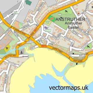
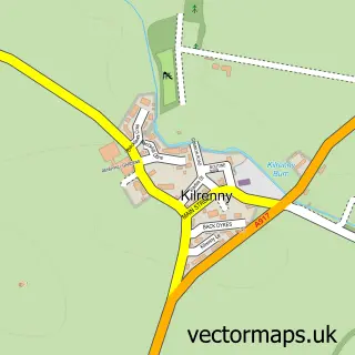
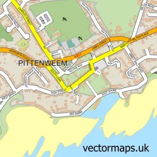
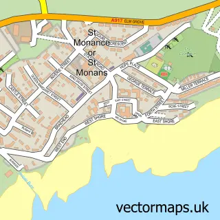
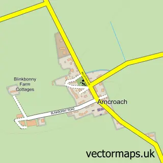
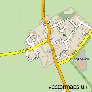
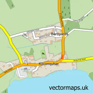
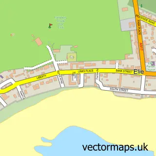
Nearby street map samples around Cellardyke

More street maps in Fife
750 metre map area coverage
Boundary, postcode and point of interest information for the 750m x 750m rectangle centred on this sample map.
Boundaries containing map centre
Constituency: North East Fife Co Const
District: Fife
Icb: Fife
Postcode District: KY10
Postcode Sector: KY10 3
Ward: East Neuk and Landward Ward
Nearby boundaries intersecting sample
No additional intersecting boundaries found.
Postcode coverage
POI category counts
Restaurant: 4
Beauty Salon: 3
Flowers And Gifts Shop: 3
Holiday Rental Home: 3
Hotel: 3
Bed And Breakfast: 2
Catholic Church: 2
Cottage: 2
Hair Salon: 2
Structure And Geography: 2
Sample points of interest
- CS Crafts
- Boat Tavern
- Beauty By Claire
- Nicola Bowman Hair
- V Dolls Beauty
- B&B at 37
- Belstane House
- East Neuk Books
- J Doig and Sons
- Alan Rodger
- David Barnett Catering
- Cellardyke Parish Church
Create a larger editable map of Cellardyke
This sample shows only a 750 metre area. To create a larger map of Cellardyke, use our map builder to choose your own coverage area, add titles and download editable SVG, PDF and PNG files.
Create a custom map of Cellardyke