This Pittenweem street map is a detailed vector street map covering a 750m x 750m area. Select a larger area to create and download your own vector street map of Pittenweem.
The 750-metre map sample for Pittenweem covers 136 mapped buildings and approximately 12.4 km of road detail, of which 34 named roads are named. The immediate area includes 1 GP surgery, with 2 within 2 miles, 2 pubs and 2 MOT stations within 2 miles. The wider area around Pittenweem features 1 tourism point of interest, 6 food and drink venues and 4 hotels. To create a larger or custom map of Pittenweem, the map builder lets you define your own coverage area and download editable SVG, PDF and PNG files.
Create a larger editable map of Pittenweem
Choose any area you need and generate a high-quality vector map instantly. Perfect for print, planning, design, business and personal use.

This Pittenweem street map in Fife is available as downloadable SVG, PDF and PNG map files, or as a printed map for planning, business, display, education, local information and design work. You can also create a larger custom map area using the map selector.
What this Pittenweem map sample shows
Pittenweem lies within Fife parish, part of East Neuk And Landward ward in the Fife local authority area. The postcode geography for this area includes the KY postcode area, the KY10 postcode district and the KY10 2 postcode sector. Residents fall under the Fife for NHS services.
Local features near Pittenweem
Within 2 milesAmenities and services in and around Pittenweem.
Administrative and postcode information for Pittenweem
Pittenweem lies within Fife parish, part of East Neuk And Landward ward in the Fife local authority area. The postcode geography for this area includes the KY postcode area, the KY10 postcode district and the KY10 2 postcode sector. Residents fall under the Fife for NHS services.
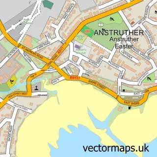
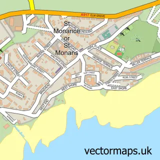
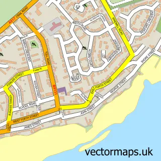
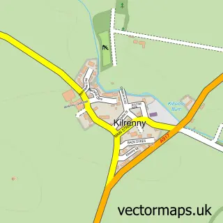
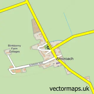
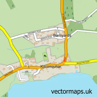
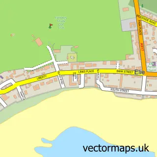
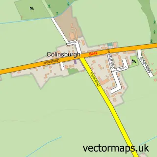
Nearby street map samples around Pittenweem

More street maps in Fife
750 metre map area coverage
Boundary, postcode and point of interest information for the 750m x 750m rectangle centred on this sample map.
Boundaries containing map centre
Constituency: North East Fife Co Const
District: Fife
Icb: Fife
Postcode District: KY10
Postcode Sector: KY10 2
Ward: East Neuk and Landward Ward
Nearby boundaries intersecting sample
No additional intersecting boundaries found.
Postcode coverage
POI category counts
Holiday Rental Home: 8
Hotel: 4
Church Cathedral: 3
Arts And Crafts: 2
Bed And Breakfast: 2
Cafe: 2
Doctor: 2
Elementary School: 2
Ice Cream Shop: 2
Jewelry Store: 2
Sample points of interest
- PoP In
- Weem Gallery and Framer
- Pittenweem Artisan Glass
- The Wooly Brew
- Pittenweem Arts Festival
- The Anchor Inn
- Robert Adamson Hair Design Pittenweem
- Albert Cottage B&B
- Pitteen Harbour Guest House
- The Art House, Pittenweem
- Funky Scottish
- The Clock Tower Cafe
Create a larger editable map of Pittenweem
This sample shows only a 750 metre area. To create a larger map of Pittenweem, use our map builder to choose your own coverage area, add titles and download editable SVG, PDF and PNG files.
Create a custom map of Pittenweem