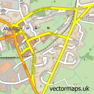
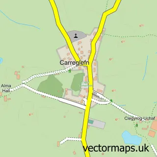
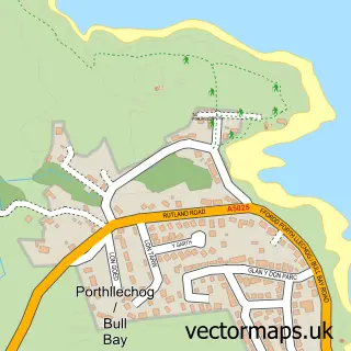
This Cemaes street map is a detailed vector street map covering a 750m x 750m area. Select a larger area to create and download your own vector street map of Cemaes.
The 750-metre map sample for Cemaes covers 323 mapped buildings and approximately 12.7 km of road detail, of which 16 named roads are named. The immediate area includes 1 GP surgery, 3 pubs and 1 MOT station within 2 miles. The wider area around Cemaes features 1 tourism point of interest, 5 food and drink venues and 6 hotels. To create a larger or custom map of Cemaes, the map builder lets you define your own coverage area and download editable SVG, PDF and PNG files.
Create a larger editable map of Cemaes
Choose any area you need and generate a high-quality vector map instantly. Perfect for print, planning, design, business and personal use.

This Cemaes street map in Gwynedd is available as downloadable SVG, PDF and PNG map files, or as a printed map for planning, business, display, education, local information and design work. You can also create a larger custom map area using the map selector.
What this Cemaes map sample shows
Cemaes lies within Llanbadrig Community parish, part of Twrcelyn ward in the Sir Ynys Mon - Isle Of Anglesey local authority area. The postcode geography for this area includes the LL postcode area, the LL67 postcode district and the LL67 0 postcode sector. Residents fall under the Betsi Cadwaladr University Health Board for NHS services.
Local features near Cemaes
Within 2 milesAmenities and services in and around Cemaes.
Administrative and postcode information for Cemaes
Cemaes lies within Llanbadrig Community parish, part of Twrcelyn ward in the Sir Ynys Mon - Isle Of Anglesey local authority area. The postcode geography for this area includes the LL postcode area, the LL67 postcode district and the LL67 0 postcode sector. Residents fall under the Betsi Cadwaladr University Health Board for NHS services.
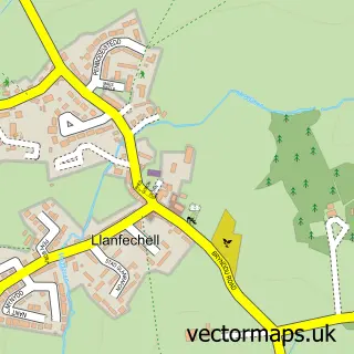
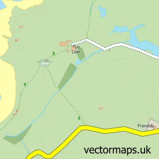
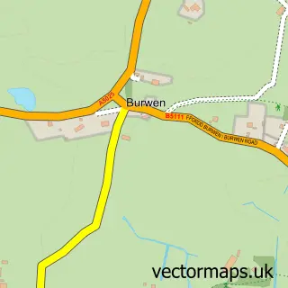
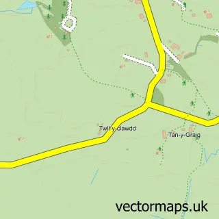
Nearby street map samples around Cemaes

More street maps in Gwynedd
750 metre map area coverage
Boundary, postcode and point of interest information for the 750m x 750m rectangle centred on this sample map.
Boundaries containing map centre
Constituency: Ynys Mon Co Const
District: Sir Ynys Mon - Isle of Anglesey
Icb: Betsi Cadwaladr University
Parish: Llanbadrig Community
Police Force: north wales
Postcode District: LL67
Postcode Sector: LL67 0
Nearby boundaries intersecting sample
No additional intersecting boundaries found.
Postcode coverage
POI category counts
Hotel: 6
Beach: 4
Holiday Rental Home: 3
Pub: 3
Beauty Salon: 2
Cafe: 2
Fish And Chips Restaurant: 2
It Service And Computer Repair: 2
Structure And Geography: 2
Accommodation: 1
Sample points of interest
- Gorwel- Cemaes Bay, Anglesey
- Cemaes Gym
- Morrisons Daily - Anglesey Cemaes Bay
- Barclays
- Caemes Bay
- Cemaes Bay in Anglesey
- Cemaes Beach
- Traeth Bach
- Spectrum
- TraceyJane's Salon
- Reed Marine Services
- Post Office-Cemaes Bay
Create a larger editable map of Cemaes
This sample shows only a 750 metre area. To create a larger map of Cemaes, use our map builder to choose your own coverage area, add titles and download editable SVG, PDF and PNG files.
Create a custom map of Cemaes