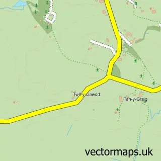
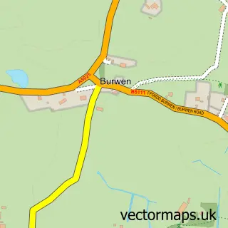
This Llanfechell street map is a detailed vector street map covering a 750m x 750m area. Select a larger area to create and download your own vector street map of Llanfechell.
The 750-metre map sample for Llanfechell covers 184 mapped buildings and approximately 7.9 km of road detail, of which 9 named roads are named. The immediate area includes 1 GP surgery within 2 miles, 1 pub and 1 MOT station. The wider area around Llanfechell features 2 food and drink venues and 1 campsite within 2 miles. To create a larger or custom map of Llanfechell, the map builder lets you define your own coverage area and download editable SVG, PDF and PNG files.
Create a larger editable map of Llanfechell
Choose any area you need and generate a high-quality vector map instantly. Perfect for print, planning, design, business and personal use.

This Llanfechell street map in Gwynedd is available as downloadable SVG, PDF and PNG map files, or as a printed map for planning, business, display, education, local information and design work. You can also create a larger custom map area using the map selector.
What this Llanfechell map sample shows
Llanfechell lies within Mechell Community parish, part of Talybolion ward in the Sir Ynys Mon - Isle Of Anglesey local authority area. The postcode geography for this area includes the LL postcode area, the LL68 postcode district and the LL68 0 postcode sector. Residents fall under the Betsi Cadwaladr University Health Board for NHS services.
Local features near Llanfechell
Within 2 milesAmenities and services in and around Llanfechell.
Administrative and postcode information for Llanfechell
Llanfechell lies within Mechell Community parish, part of Talybolion ward in the Sir Ynys Mon - Isle Of Anglesey local authority area. The postcode geography for this area includes the LL postcode area, the LL68 postcode district and the LL68 0 postcode sector. Residents fall under the Betsi Cadwaladr University Health Board for NHS services.
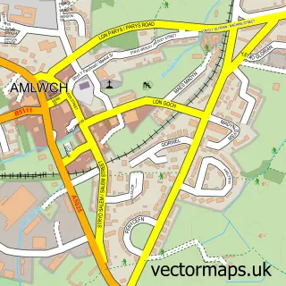
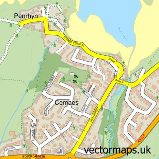
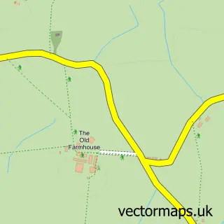
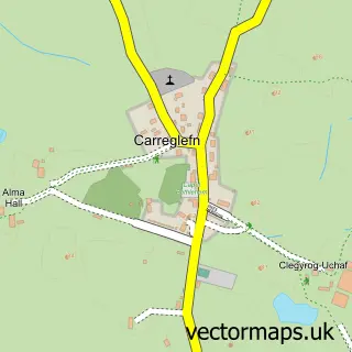
Nearby street map samples around Llanfechell

More street maps in Gwynedd
750 metre map area coverage
Boundary, postcode and point of interest information for the 750m x 750m rectangle centred on this sample map.
Boundaries containing map centre
Constituency: Ynys Mon Co Const
District: Sir Ynys Mon - Isle of Anglesey
Icb: Betsi Cadwaladr University
Parish: Mechell Community
Police Force: north wales
Postcode District: LL68
Postcode Sector: LL68 0
Nearby boundaries intersecting sample
No additional intersecting boundaries found.
Postcode coverage
POI category counts
Antique Store: 1
Atms: 1
Automotive Repair: 1
Cafe: 1
Church Cathedral: 1
Dance School: 1
Electrician: 1
Funeral Services And Cemeteries: 1
Lodge: 1
Pet Groomer: 1
Sample points of interest
- Vintage Den.co
- PayPoint
- Crown Garage
- Caffi Siop Mechell - Llanfechell
- St Mechell's Church
- Anglesey School of Dancing
- Alex Sodden Electrical Contractors
- Melvin Rowlands
- Bryn Mechell Holiday Park
- Tip Top Grooming Shop
- The Pixel Printer
- Y Cefn Glas
Create a larger editable map of Llanfechell
This sample shows only a 750 metre area. To create a larger map of Llanfechell, use our map builder to choose your own coverage area, add titles and download editable SVG, PDF and PNG files.
Create a custom map of Llanfechell