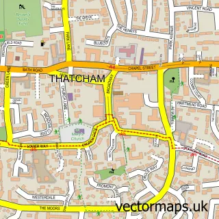
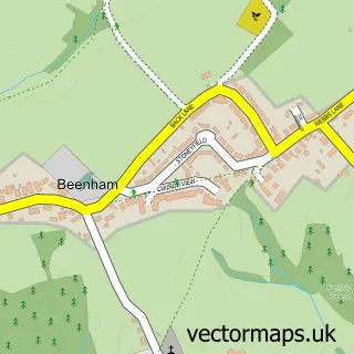
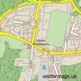
This Chapel Row street map is a detailed vector street map covering a 750m x 750m area. Select a larger area to create and download your own vector street map of Chapel Row.
The 750-metre map sample for Chapel Row covers 116 mapped buildings and approximately 9.5 km of road detail, of which 3 named roads are named. The immediate area includes 1 GP surgery within 2 miles, 2 pubs and 2 MOT stations within 2 miles. The wider area around Chapel Row features 3 food and drink venues. To create a larger or custom map of Chapel Row, the map builder lets you define your own coverage area and download editable SVG, PDF and PNG files.
Create a larger editable map of Chapel Row
Choose any area you need and generate a high-quality vector map instantly. Perfect for print, planning, design, business and personal use.

This Chapel Row street map in Berkshire is available as downloadable SVG, PDF and PNG map files, or as a printed map for planning, business, display, education, local information and design work. You can also create a larger custom map area using the map selector.
What this Chapel Row map sample shows
Chapel Row lies within Bucklebury Cp parish, part of Bucklebury ward in the West Berkshire local authority area. The postcode geography for this area includes the RG postcode area, the RG7 postcode district and the RG7 6 postcode sector. Residents fall under the Nhs Buckinghamshire, Oxfordshire And Berkshire West Integrated Care Board for NHS services.
Local features near Chapel Row
Within 2 milesAmenities and services in and around Chapel Row.
Administrative and postcode information for Chapel Row
Chapel Row lies within Bucklebury Cp parish, part of Bucklebury ward in the West Berkshire local authority area. The postcode geography for this area includes the RG postcode area, the RG7 postcode district and the RG7 6 postcode sector. Residents fall under the Nhs Buckinghamshire, Oxfordshire And Berkshire West Integrated Care Board for NHS services.
Nearby street map samples around Chapel Row

More street maps in Berkshire
750 metre map area coverage
Boundary, postcode and point of interest information for the 750m x 750m rectangle centred on this sample map.
Boundaries containing map centre
Constituency: Reading West and Mid Berkshire Co Const
District: West Berkshire
Icb: NHS Thames Valley ICB
Parish: Bucklebury CP
Police Force: thames valley
Postcode District: RG7
Postcode Sector: RG7 6
Ward: Bucklebury Ward
Nearby boundaries intersecting sample
No additional intersecting boundaries found.
Postcode coverage
POI category counts
Doctor: 2
Music School: 2
Pub: 2
Cafe: 1
Interior Design: 1
Marketing Consultant: 1
Pet Services: 1
Printing Equipment And Supply: 1
Printing Services: 1
Professional Services: 1
Sample points of interest
- The Blackbird Cafe
- Chapel Row Surgery
- Choice Care Group
- L Interiors
- Asa Ltd.
- SOUNDSCOOL Music Courses
- www.soundscool.org
- K9 Procreation- Mobile Dog Scanning & Canine Fertility
- X Factor Printing
- Xfactor Printing Ltd
- Growing Designs
- The Bladebone
Create a larger editable map of Chapel Row
This sample shows only a 750 metre area. To create a larger map of Chapel Row, use our map builder to choose your own coverage area, add titles and download editable SVG, PDF and PNG files.
Create a custom map of Chapel Row