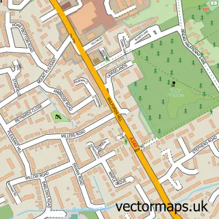
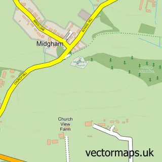
This Beenham street map is a detailed vector street map covering a 750m x 750m area. Select a larger area to create and download your own vector street map of Beenham.
The 750-metre map sample for Beenham covers 140 mapped buildings and approximately 6.6 km of road detail, of which 5 named roads are named. The immediate area includes 1 school, 1 GP surgery within 2 miles and 4 MOT stations within 2 miles. To create a larger or custom map of Beenham, the map builder lets you define your own coverage area and download editable SVG, PDF and PNG files.
Create a larger editable map of Beenham
Choose any area you need and generate a high-quality vector map instantly. Perfect for print, planning, design, business and personal use.

This Beenham street map in Berkshire is available as downloadable SVG, PDF and PNG map files, or as a printed map for planning, business, display, education, local information and design work. You can also create a larger custom map area using the map selector.
What this Beenham map sample shows
Beenham lies within Beenham Cp parish, part of Aldermaston ward in the West Berkshire local authority area. The postcode geography for this area includes the RG postcode area, the RG7 postcode district and the RG7 5 postcode sector. Residents fall under the Nhs Buckinghamshire, Oxfordshire And Berkshire West Integrated Care Board for NHS services.
Local features near Beenham
Within 2 milesAmenities and services in and around Beenham.
Administrative and postcode information for Beenham
The local authority covering Beenham is West Berkshire, within the county of Berkshire. The settlement lies within Aldermaston ward and Beenham Cp civil parish. The RG7 postcode district and RG7 5 postcode sector serve the immediate area. NHS provision in the area is delivered through Royal Berkshire Nhs Foundation Trust.
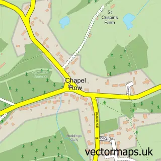
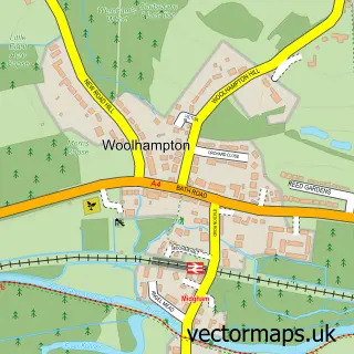
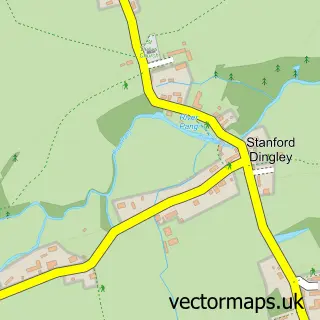
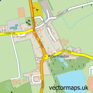
Nearby street map samples around Beenham

More street maps in Berkshire
750 metre map area coverage
Boundary, postcode and point of interest information for the 750m x 750m rectangle centred on this sample map.
Boundaries containing map centre
Constituency: Reading West and Mid Berkshire Co Const
District: West Berkshire
Icb: NHS Thames Valley ICB
Parish: Beenham CP
Police Force: thames valley
Postcode District: RG7
Postcode Sector: RG7 5
Ward: Aldermaston Ward
Nearby boundaries intersecting sample
No additional intersecting boundaries found.
Postcode coverage
POI category counts
Used Car Dealer: 2
Automotive Repair: 1
Bike Repair Maintenance: 1
Business Management Services: 1
Church Cathedral: 1
Elementary School: 1
Food Beverage Service Distribution: 1
Hair Supply Stores: 1
Preschool: 1
School: 1
Sample points of interest
- Porsche Cars
- Meadvale-Bays Bicycle Services
- Points South Ltd.
- Beenham Church
- Beenham Primary School
- Drury and Alldis of Thornwood
- LPT Loves Nail Polish
- Beenham Pre-School
- Lambs Lane Primary School
- Beenham Club
- Cutting Removals
- Beenham Garage
Create a larger editable map of Beenham
This sample shows only a 750 metre area. To create a larger map of Beenham, use our map builder to choose your own coverage area, add titles and download editable SVG, PDF and PNG files.
Create a custom map of Beenham