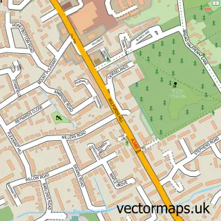
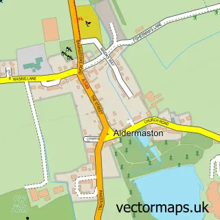
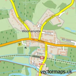
This Aldermaston Wharf street map is a detailed vector street map covering a 750m x 750m area. Select a larger area to create and download your own vector street map of Aldermaston Wharf.
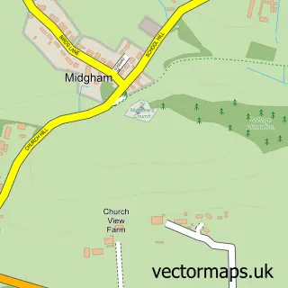
The 750-metre map sample for Aldermaston Wharf covers 197 mapped buildings and approximately 14.9 km of road detail, of which 15 named roads are named. The immediate area includes 1 railway station, 1 pub and 3 MOT stations within 2 miles. The wider area around Aldermaston Wharf features 1 tourism point of interest, 2 food and drink venues and 1 hotel. To create a larger or custom map of Aldermaston Wharf, the map builder lets you define your own coverage area and download editable SVG, PDF and PNG files.
Create a larger editable map of Aldermaston Wharf
Choose any area you need and generate a high-quality vector map instantly. Perfect for print, planning, design, business and personal use.

This Aldermaston Wharf street map in Berkshire is available as downloadable SVG, PDF and PNG map files, or as a printed map for planning, business, display, education, local information and design work. You can also create a larger custom map area using the map selector.
What this Aldermaston Wharf map sample shows
Aldermaston Wharf lies within Padworth Cp parish, part of Aldermaston ward in the West Berkshire local authority area. The postcode geography for this area includes the RG postcode area, the RG7 postcode district and the RG7 4 postcode sector. Residents fall under the Nhs Buckinghamshire, Oxfordshire And Berkshire West Integrated Care Board for NHS services.
Local features near Aldermaston Wharf
Within 2 milesAmenities and services in and around Aldermaston Wharf.
Administrative and postcode information for Aldermaston Wharf
The local authority covering Aldermaston Wharf is West Berkshire, within the county of Berkshire. The settlement lies within Aldermaston ward and Padworth Cp civil parish. The RG7 postcode district and RG7 4 postcode sector serve the immediate area. NHS provision in the area is delivered through Royal Berkshire Nhs Foundation Trust.
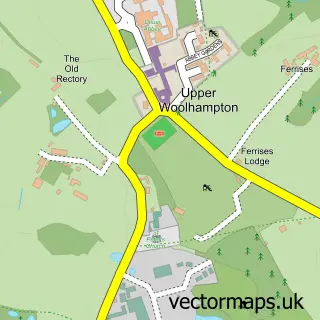
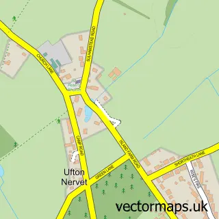
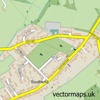
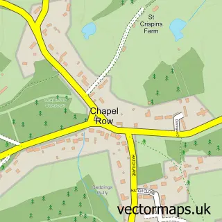
Nearby street map samples around Aldermaston Wharf

More street maps in Berkshire
750 metre map area coverage
Boundary, postcode and point of interest information for the 750m x 750m rectangle centred on this sample map.
Boundaries containing map centre
Constituency: Reading West and Mid Berkshire Co Const
District: West Berkshire
Icb: NHS Thames Valley ICB
Police Force: thames valley
Postcode District: RG7
Postcode Sector: RG7 4
Ward: Aldermaston Ward
Nearby boundaries intersecting sample
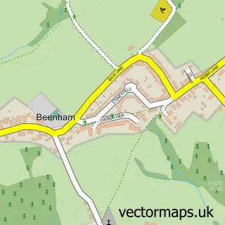
Parish: Aldermaston CP, Beenham CP, Padworth CP
Postcode Sector: RG7 5
Postcode coverage
POI category counts
Boat Rental And Training: 2
Caterer: 2
Elementary School: 2
Tea Room: 2
Train Station: 2
Builders: 1
Charity Organization: 1
Childrens Clothing Store: 1
Education: 1
Employment Agencies: 1
Sample points of interest
- ABC Boat Hire Aldermaston Wharf
- Reading Marine Co
- A H Building Contractors Ltd.
- Pretty Pieces Perfect Days
- Tiers Of Happiness
- St Lukes Trust
- Bumbles and Boo
- Alder Bridge School
- Alder Bridge Steiner Waldorf School
- Alderbridge Steiner Waldorf School
- Executive Facilities
- Overland Fencing
Create a larger editable map of Aldermaston Wharf
This sample shows only a 750 metre area. To create a larger map of Aldermaston Wharf, use our map builder to choose your own coverage area, add titles and download editable SVG, PDF and PNG files.
Create a custom map of Aldermaston Wharf