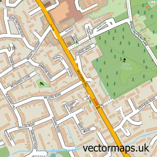
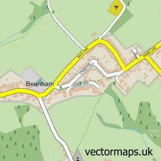
This Ufton Nervet street map is a detailed vector street map covering a 750m x 750m area. Select a larger area to create and download your own vector street map of Ufton Nervet.
The 750-metre map sample for Ufton Nervet covers 85 mapped buildings and approximately 11.0 km of road detail, of which 7 named roads are named. The immediate area includes 1 school, 1 GP surgery within 2 miles and 2 MOT stations within 2 miles. To create a larger or custom map of Ufton Nervet, the map builder lets you define your own coverage area and download editable SVG, PDF and PNG files.
Create a larger editable map of Ufton Nervet
Choose any area you need and generate a high-quality vector map instantly. Perfect for print, planning, design, business and personal use.

This Ufton Nervet street map in Berkshire is available as downloadable SVG, PDF and PNG map files, or as a printed map for planning, business, display, education, local information and design work. You can also create a larger custom map area using the map selector.
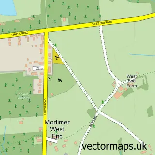
What this Ufton Nervet map sample shows
Ufton Nervet lies within Ufton Nervet Cp parish, part of Bradfield ward in the West Berkshire local authority area. The postcode geography for this area includes the RG postcode area, the RG7 postcode district and the RG7 4 postcode sector. Residents fall under the Nhs Buckinghamshire, Oxfordshire And Berkshire West Integrated Care Board for NHS services.
Local features near Ufton Nervet
Within 2 milesAmenities and services in and around Ufton Nervet.
Administrative and postcode information for Ufton Nervet
Ufton Nervet lies within Ufton Nervet Cp parish, part of Bradfield ward in the West Berkshire local authority area. The postcode geography for this area includes the RG postcode area, the RG7 postcode district and the RG7 4 postcode sector. Residents fall under the Nhs Buckinghamshire, Oxfordshire And Berkshire West Integrated Care Board for NHS services.
Nearby street map samples around Ufton Nervet

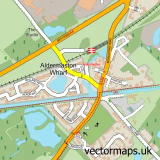
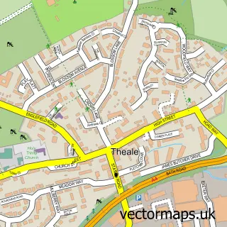
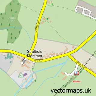
More street maps in Berkshire
750 metre map area coverage
Boundary, postcode and point of interest information for the 750m x 750m rectangle centred on this sample map.
Boundaries containing map centre
Constituency: Reading West and Mid Berkshire Co Const
District: West Berkshire
Icb: NHS Thames Valley ICB
Parish: Ufton Nervet CP
Police Force: thames valley
Postcode District: RG7
Postcode Sector: RG7 4
Ward: Bradfield Ward
Nearby boundaries intersecting sample
Parish: Sulhamstead CP
Postcode Sector: RG7 3
Postcode coverage
POI category counts
Bathroom Remodeling: 2
Building Supply Store: 2
Advertising Agency: 1
Dog Walkers: 1
Elementary School: 1
Professional Services: 1
Rental Kiosks: 1
Scout Hall: 1
Security Systems: 1
Telecommunications Company: 1
Sample points of interest
- Ergo Digital
- Bran Partnership
- Suretouch
- Berkshire Electrics
- NWS Skip Hire
- Furry Tales
- Sulhamstead and Ufton Nervet Primary School
- Berkshire Lifestyle Concierge
- Timpson
- 1st Ufton Nervet Scout Group
- Haydn Security Consultants
- WSI Digital Advantage
Create a larger editable map of Ufton Nervet
This sample shows only a 750 metre area. To create a larger map of Ufton Nervet, use our map builder to choose your own coverage area, add titles and download editable SVG, PDF and PNG files.
Create a custom map of Ufton Nervet