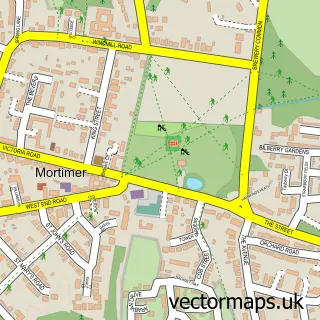
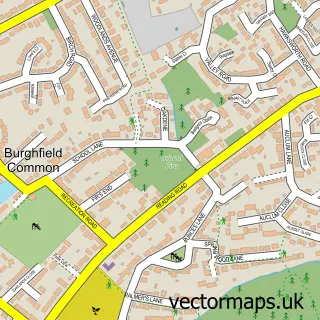
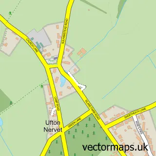
This Stratfield Mortimer street map is a detailed vector street map covering a 750m x 750m area. Select a larger area to create and download your own vector street map of Stratfield Mortimer.
The 750-metre map sample for Stratfield Mortimer covers 61 mapped buildings and approximately 5.7 km of road detail, of which 4 named roads are named. The immediate area includes 1 railway station, 1 GP surgery within 2 miles and 1 MOT station within 2 miles. To create a larger or custom map of Stratfield Mortimer, the map builder lets you define your own coverage area and download editable SVG, PDF and PNG files.
Create a larger editable map of Stratfield Mortimer
Choose any area you need and generate a high-quality vector map instantly. Perfect for print, planning, design, business and personal use.

This Stratfield Mortimer street map in Berkshire is available as downloadable SVG, PDF and PNG map files, or as a printed map for planning, business, display, education, local information and design work. You can also create a larger custom map area using the map selector.
What this Stratfield Mortimer map sample shows
Stratfield Mortimer lies within Stratfield Mortimer Cp parish, part of Burghfield & Mortimer ward in the West Berkshire local authority area. The postcode geography for this area includes the RG postcode area, the RG7 postcode district and the RG7 3 postcode sector. Residents fall under the Nhs Buckinghamshire, Oxfordshire And Berkshire West Integrated Care Board for NHS services.
Local features near Stratfield Mortimer
Within 2 milesAmenities and services in and around Stratfield Mortimer.
Administrative and postcode information for Stratfield Mortimer
Stratfield Mortimer lies within Stratfield Mortimer Cp parish, part of Burghfield & Mortimer ward in the West Berkshire local authority area. The postcode geography for this area includes the RG postcode area, the RG7 postcode district and the RG7 3 postcode sector. Residents fall under the Nhs Buckinghamshire, Oxfordshire And Berkshire West Integrated Care Board for NHS services.
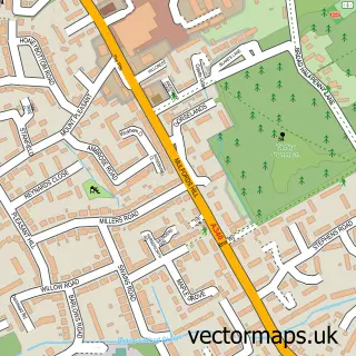
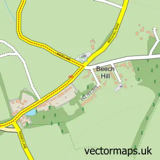
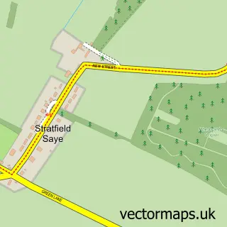
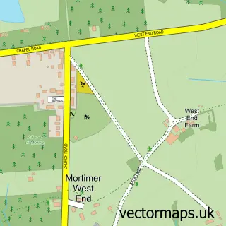
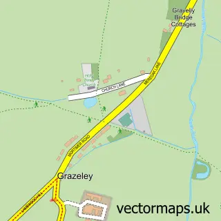
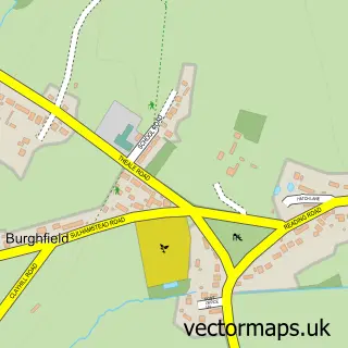
Nearby street map samples around Stratfield Mortimer

More street maps in Berkshire
750 metre map area coverage
Boundary, postcode and point of interest information for the 750m x 750m rectangle centred on this sample map.
Boundaries containing map centre
Constituency: Reading West and Mid Berkshire Co Const
District: West Berkshire
Icb: NHS Thames Valley ICB
Parish: Stratfield Mortimer CP
Police Force: thames valley
Postcode District: RG7
Postcode Sector: RG7 3
Ward: Burghfield & Mortimer Ward
Nearby boundaries intersecting sample
Postcode Sector: RG7 2
Postcode coverage
POI category counts
Church Cathedral: 2
Employment Agencies: 2
Train Station: 2
Advertising Agency: 1
Anglican Church: 1
Automotive Repair: 1
Elementary School: 1
Indian Restaurant: 1
Kitchen Supply Store: 1
Natural Gas Supplier: 1
Sample points of interest
- Bon Bon Creative
- Stratfield Mortimer: St Mary the Virgin
- NTS Automotive
- St Mary the Virgin Church
- St Mary's Church
- Mortimer St Mary's Church of England Junior School
- Arcforce
- Arcforce
- Cinnamon Tree
- Arcforce Ltd.
- Reading Calor centre
- Car Park Mortimer Station | APCOA
Create a larger editable map of Stratfield Mortimer
This sample shows only a 750 metre area. To create a larger map of Stratfield Mortimer, use our map builder to choose your own coverage area, add titles and download editable SVG, PDF and PNG files.
Create a custom map of Stratfield Mortimer