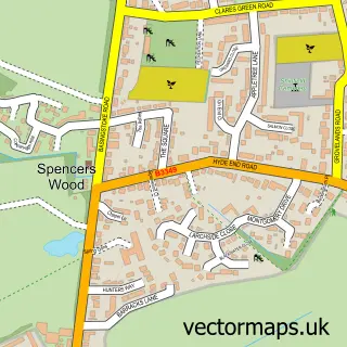
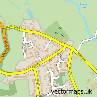
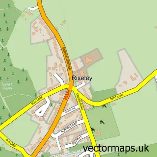
This Grazeley street map is a detailed vector street map covering a 750m x 750m area. Select a larger area to create and download your own vector street map of Grazeley.
The 750-metre map sample for Grazeley covers 35 mapped buildings and approximately 3.7 km of road detail, of which 4 named roads are named. The immediate area includes 1 school and 5 MOT stations within 2 miles. To create a larger or custom map of Grazeley, the map builder lets you define your own coverage area and download editable SVG, PDF and PNG files.
Create a larger editable map of Grazeley
Choose any area you need and generate a high-quality vector map instantly. Perfect for print, planning, design, business and personal use.

This Grazeley street map in Berkshire is available as downloadable SVG, PDF and PNG map files, or as a printed map for planning, business, display, education, local information and design work. You can also create a larger custom map area using the map selector.
What this Grazeley map sample shows
Grazeley lies within Shinfield Cp parish, part of Shinfield South ward in the Wokingham (B) local authority area. The postcode geography for this area includes the RG postcode area, the RG7 postcode district and the RG7 1 postcode sector. Residents fall under the Nhs Buckinghamshire, Oxfordshire And Berkshire West Integrated Care Board for NHS services.
Local features near Grazeley
Within 2 milesAmenities and services in and around Grazeley.
Administrative and postcode information for Grazeley
Grazeley lies within Shinfield Cp parish, part of Shinfield South ward in the Wokingham (B) local authority area. The postcode geography for this area includes the RG postcode area, the RG7 postcode district and the RG7 1 postcode sector. Residents fall under the Nhs Buckinghamshire, Oxfordshire And Berkshire West Integrated Care Board for NHS services.
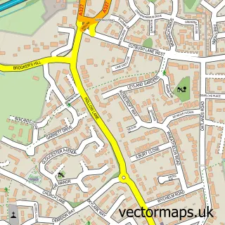
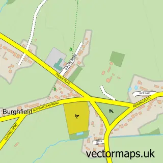
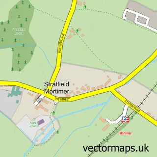
Nearby street map samples around Grazeley

More street maps in Berkshire
750 metre map area coverage
Boundary, postcode and point of interest information for the 750m x 750m rectangle centred on this sample map.
Boundaries containing map centre
Constituency: Earley and Woodley Boro Const
District: Wokingham (B)
Icb: NHS Thames Valley ICB
Parish: Shinfield CP
Police Force: thames valley
Postcode District: RG7
Postcode Sector: RG7 1
Ward: Spencers Wood & Swallowfield Ward
Nearby boundaries intersecting sample
No additional intersecting boundaries found.
Postcode coverage
POI category counts
Business Management Services: 3
Corporate Office: 2
Accountant: 1
Automotive Services And Repair: 1
Beauty Salon: 1
Business: 1
Business To Business: 1
Community Services Non Profits: 1
Elementary School: 1
Employment Agencies: 1
Sample points of interest
- Edmonds Accountancy Ltd
- Neptune Navigation Software
- Hey Bella Beauty by Hayley
- 3GHR
- 3Ghr Ltd.
- ACT Systems
- Dream Marketing International Ltd.
- The Food Storage & Distribution Federation
- Loddon Vale Model Railway Club
- LEBC Group Reading
- Pentura
- Grazeley Parochial Primary School
Create a larger editable map of Grazeley
This sample shows only a 750 metre area. To create a larger map of Grazeley, use our map builder to choose your own coverage area, add titles and download editable SVG, PDF and PNG files.
Create a custom map of Grazeley