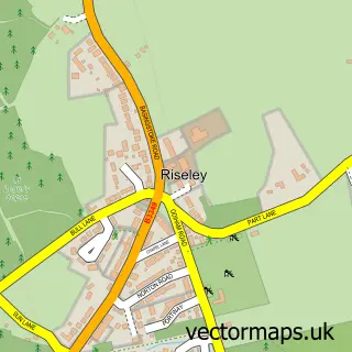
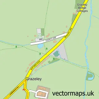
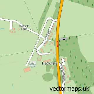
This Swallowfield street map is a detailed vector street map covering a 750m x 750m area. Select a larger area to create and download your own vector street map of Swallowfield.
The 750-metre map sample for Swallowfield covers 214 mapped buildings and approximately 10.3 km of road detail, of which 11 named roads are named. The immediate area includes 1 GP surgery, with 2 within 2 miles, 1 pub and 2 MOT stations within 2 miles. The wider area around Swallowfield features 1 food and drink venue and 1 campsite within 2 miles. To create a larger or custom map of Swallowfield, the map builder lets you define your own coverage area and download editable SVG, PDF and PNG files.
Create a larger editable map of Swallowfield
Choose any area you need and generate a high-quality vector map instantly. Perfect for print, planning, design, business and personal use.

This Swallowfield street map in Berkshire is available as downloadable SVG, PDF and PNG map files, or as a printed map for planning, business, display, education, local information and design work. You can also create a larger custom map area using the map selector.
What this Swallowfield map sample shows
Swallowfield lies within Swallowfield Cp parish, part of Swallowfield ward in the Wokingham (B) local authority area. The postcode geography for this area includes the RG postcode area, the RG7 postcode district and the RG7 1 postcode sector. Residents fall under the Nhs Buckinghamshire, Oxfordshire And Berkshire West Integrated Care Board for NHS services.
Local features near Swallowfield
Within 2 milesAmenities and services in and around Swallowfield.
Administrative and postcode information for Swallowfield
The local authority covering Swallowfield is Wokingham (B), within the county of Berkshire. The settlement lies within Swallowfield ward and Swallowfield Cp civil parish. The RG7 postcode district and RG7 1 postcode sector serve the immediate area. NHS provision in the area is delivered through Royal Berkshire Nhs Foundation Trust.
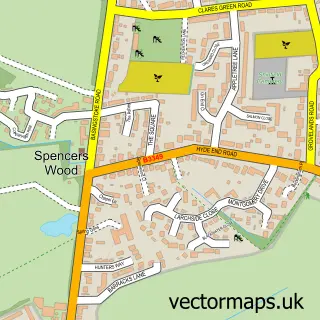
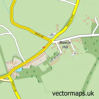
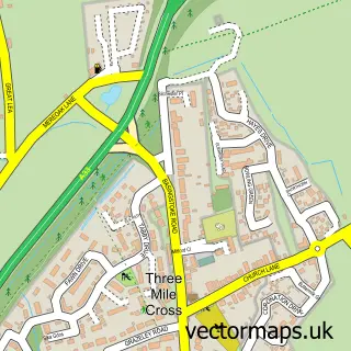
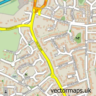
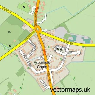
Nearby street map samples around Swallowfield

More street maps in Berkshire
750 metre map area coverage
Boundary, postcode and point of interest information for the 750m x 750m rectangle centred on this sample map.
Boundaries containing map centre
Constituency: Wokingham Co Const
District: Wokingham (B)
Icb: NHS Thames Valley ICB
Parish: Swallowfield CP
Police Force: thames valley
Postcode District: RG7
Postcode Sector: RG7 1
Ward: Spencers Wood & Swallowfield Ward
Nearby boundaries intersecting sample
No additional intersecting boundaries found.
Postcode coverage
POI category counts
Doctor: 2
Farm: 2
Professional Services: 2
Audiovisual Equipment Rental: 1
Auto Glass Service: 1
Bar: 1
Bridal Shop: 1
Building Supply Store: 1
Community Center: 1
Costume Store: 1
Sample points of interest
- Audio T Reading
- Vision Windscreens
- The Drop Shisha Lounge
- Beau Events
- D & B Tracks & Blinds
- Swallowfield Parish Hall
- Starmaker Costume Hire
- Swallowfield Medical Practice
- Swallowfield Medical Practice
- Pinkfrogevents
- Dower House Honey
- Fungi Farmer
Create a larger editable map of Swallowfield
This sample shows only a 750 metre area. To create a larger map of Swallowfield, use our map builder to choose your own coverage area, add titles and download editable SVG, PDF and PNG files.
Create a custom map of Swallowfield