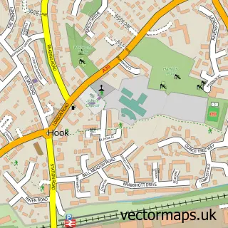
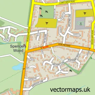
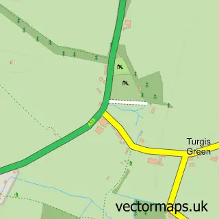
This Riseley street map is a detailed vector street map covering a 750m x 750m area. Select a larger area to create and download your own vector street map of Riseley.
The 750-metre map sample for Riseley covers 171 mapped buildings and approximately 9.9 km of road detail, of which 10 named roads are named. The immediate area includes 1 school, 1 GP surgery within 2 miles, 2 pubs and 1 MOT station within 2 miles. The wider area around Riseley features 3 food and drink venues and 1 campsite within 2 miles. To create a larger or custom map of Riseley, the map builder lets you define your own coverage area and download editable SVG, PDF and PNG files.
Create a larger editable map of Riseley
Choose any area you need and generate a high-quality vector map instantly. Perfect for print, planning, design, business and personal use.

This Riseley street map in Berkshire is available as downloadable SVG, PDF and PNG map files, or as a printed map for planning, business, display, education, local information and design work. You can also create a larger custom map area using the map selector.
What this Riseley map sample shows
Riseley lies within Swallowfield Cp parish, part of Swallowfield ward in the Wokingham (B) local authority area. The postcode geography for this area includes the RG postcode area, the RG7 postcode district and the RG7 1 postcode sector. Residents fall under the Nhs Buckinghamshire, Oxfordshire And Berkshire West Integrated Care Board for NHS services.
Local features near Riseley
Within 2 milesAmenities and services in and around Riseley.
Administrative and postcode information for Riseley
Riseley lies within Swallowfield Cp parish, part of Swallowfield ward in the Wokingham (B) local authority area. The postcode geography for this area includes the RG postcode area, the RG7 postcode district and the RG7 1 postcode sector. Residents fall under the Nhs Buckinghamshire, Oxfordshire And Berkshire West Integrated Care Board for NHS services.
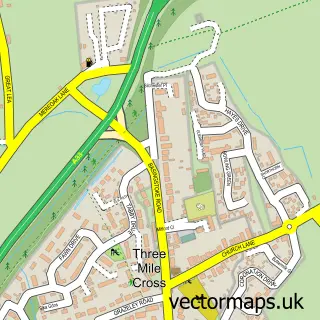
Nearby street map samples around Riseley

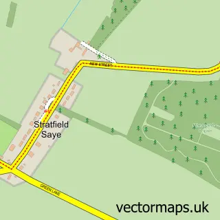
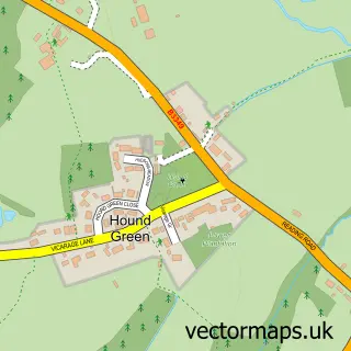
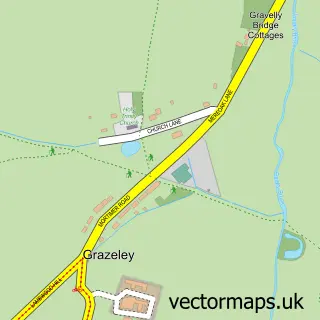
More street maps in Berkshire
750 metre map area coverage
Boundary, postcode and point of interest information for the 750m x 750m rectangle centred on this sample map.
Boundaries containing map centre
Constituency: Wokingham Co Const
District: Wokingham (B)
Icb: NHS Thames Valley ICB
Parish: Swallowfield CP
Police Force: thames valley
Postcode District: RG7
Postcode Sector: RG7 1
Ward: Spencers Wood & Swallowfield Ward
Nearby boundaries intersecting sample
Constituency: North East Hampshire Co Const
County: Hampshire County
District: Hart District
Icb: NHS Hampshire and Isle of Wight ICB
Parish: Heckfield CP
Police Force: hampshire
Ward: Hartley Wintney Ward
Postcode coverage
POI category counts
Accountant: 2
It Service And Computer Repair: 2
Professional Services: 2
Pub: 2
Arts And Entertainment: 1
Bar: 1
Building Supply Store: 1
Business To Business: 1
Coffee Shop: 1
Corporate Office: 1
Sample points of interest
- AIMS Accountants for Business
- Aims Accounts For Business
- Riseley Memorial Hall
- The Dog & Partridge
- A C S
- Village Maid Cheese
- Riseley Village Tea Room
- Outbound Marketing Services Ltd.
- Calibre Candidates
- Curve Interiors Ltd.
- 365 I T M S
- Kingston Consultants
Create a larger editable map of Riseley
This sample shows only a 750 metre area. To create a larger map of Riseley, use our map builder to choose your own coverage area, add titles and download editable SVG, PDF and PNG files.
Create a custom map of Riseley