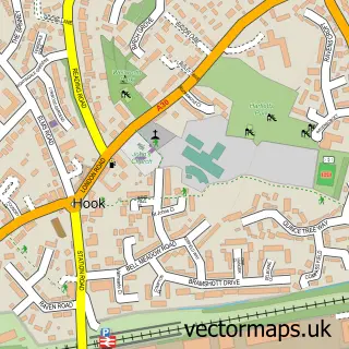
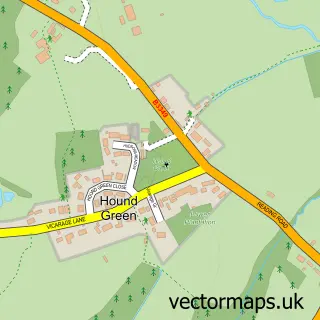
This Turgis Green street map is a detailed vector street map covering a 750m x 750m area. Select a larger area to create and download your own vector street map of Turgis Green.
The 750-metre map sample for Turgis Green covers 38 mapped buildings and approximately 6.7 km of road detail. The immediate area includes 3 pubs and 1 MOT station, with 2 within 2 miles. The wider area around Turgis Green features 1 tourism point of interest and 3 food and drink venues. To create a larger or custom map of Turgis Green, the map builder lets you define your own coverage area and download editable SVG, PDF and PNG files.
Create a larger editable map of Turgis Green
Choose any area you need and generate a high-quality vector map instantly. Perfect for print, planning, design, business and personal use.

This Turgis Green street map in Hampshire is available as downloadable SVG, PDF and PNG map files, or as a printed map for planning, business, display, education, local information and design work. You can also create a larger custom map area using the map selector.
What this Turgis Green map sample shows
Turgis Green lies within Stratfield Turgis Cp parish, part of Pamber And Silchester ward in the Basingstoke And Deane District (B) local authority area. The postcode geography for this area includes the RG postcode area, the RG27 postcode district and the RG27 0 postcode sector. Residents fall under the Nhs Hampshire And Isle Of Wight Integrated Care Board for NHS services.
Local features near Turgis Green
Within 2 milesAmenities and services in and around Turgis Green.
Administrative and postcode information for Turgis Green
The local authority covering Turgis Green is Basingstoke And Deane District (B), within the county of Hampshire. The settlement lies within Pamber And Silchester ward and Stratfield Turgis Cp civil parish. The RG27 postcode district and RG27 0 postcode sector serve the immediate area. NHS provision in the area is delivered through Hampshire Hospitals Nhs Foundation Trust.
Nearby street map samples around Turgis Green

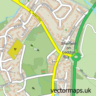
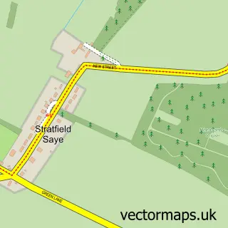
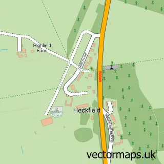

More street maps in Hampshire
750 metre map area coverage
Boundary, postcode and point of interest information for the 750m x 750m rectangle centred on this sample map.
Boundaries containing map centre
Constituency: North East Hampshire Co Const
County: Hampshire County
District: Basingstoke and Deane District (B)
Icb: NHS Hampshire and Isle of Wight ICB
Parish: Stratfield Turgis CP
Police Force: hampshire
Postcode District: RG27
Postcode Sector: RG27 0
Ward: Bramley Ward
Nearby boundaries intersecting sample
Parish: Hartley Wespall CP
Postcode coverage
POI category counts
Pub: 3
3d Printing Service: 1
Astrologer: 1
Automotive Parts And Accessories: 1
Contractor: 1
Convenience Store: 1
Electronics: 1
Gas Station: 1
Hardware Store: 1
Home And Garden: 1
Sample points of interest
- Purple Print Management
- Denise Morse
- Robinson Race Cars
- Aquarius Pools
- Londis BP TURGIS GREEN
- TekDen
- BP
- ASP Trade
- Log Cabins For Sale UK
- Housekeeping Ironing Cleaning Weekly Shop
- Turgis Green
- Distinctive Nails
Create a larger editable map of Turgis Green
This sample shows only a 750 metre area. To create a larger map of Turgis Green, use our map builder to choose your own coverage area, add titles and download editable SVG, PDF and PNG files.
Create a custom map of Turgis Green