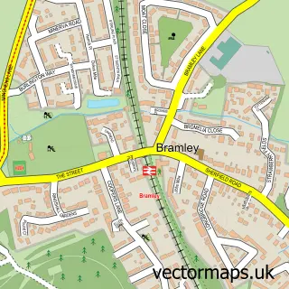
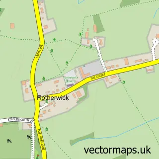
This Bramley Green street map is a detailed vector street map covering a 750m x 750m area. Select a larger area to create and download your own vector street map of Bramley Green.
The 750-metre map sample for Bramley Green covers 268 mapped buildings and approximately 15.0 km of road detail, of which 30 named roads are named. The immediate area includes 1 GP surgery within 2 miles and 2 MOT stations within 2 miles. The wider area around Bramley Green features 1 tourism point of interest. To create a larger or custom map of Bramley Green, the map builder lets you define your own coverage area and download editable SVG, PDF and PNG files.
Create a larger editable map of Bramley Green
Choose any area you need and generate a high-quality vector map instantly. Perfect for print, planning, design, business and personal use.

This Bramley Green street map in Hampshire is available as downloadable SVG, PDF and PNG map files, or as a printed map for planning, business, display, education, local information and design work. You can also create a larger custom map area using the map selector.
What this Bramley Green map sample shows
Bramley Green lies within Bramley Cp parish, part of Bramley And Sherfield ward in the Basingstoke And Deane District (B) local authority area. The postcode geography for this area includes the RG postcode area, the RG26 postcode district and the RG26 5 postcode sector. Residents fall under the Nhs Hampshire And Isle Of Wight Integrated Care Board for NHS services.
Local features near Bramley Green
Within 2 milesAmenities and services in and around Bramley Green.
Administrative and postcode information for Bramley Green
The local authority covering Bramley Green is Basingstoke And Deane District (B), within the county of Hampshire. The settlement lies within Bramley And Sherfield ward and Bramley Cp civil parish. The RG26 postcode district and RG26 5 postcode sector serve the immediate area. NHS provision in the area is delivered through Hampshire Hospitals Nhs Foundation Trust.
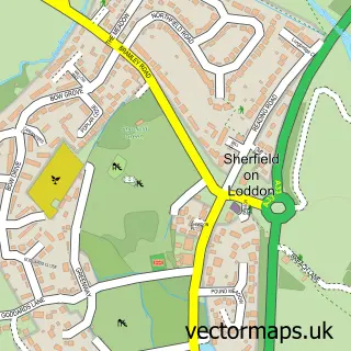
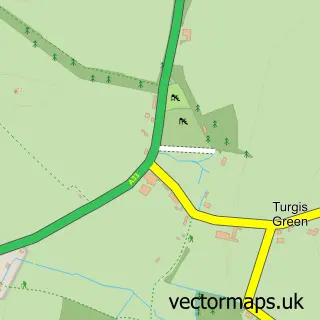
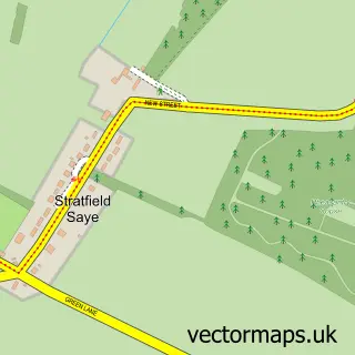
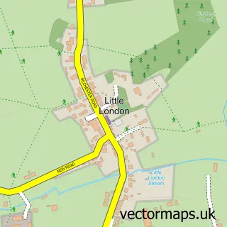
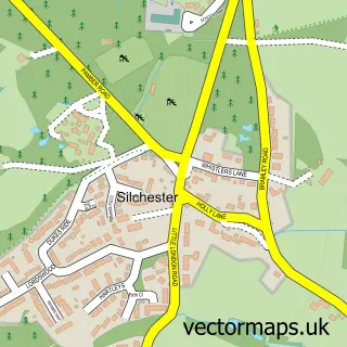
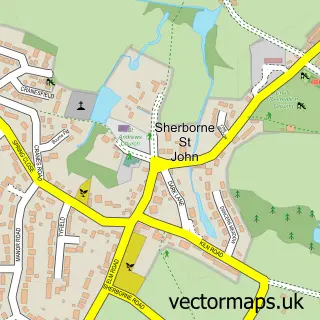
Nearby street map samples around Bramley Green

More street maps in Hampshire
750 metre map area coverage
Boundary, postcode and point of interest information for the 750m x 750m rectangle centred on this sample map.
Boundaries containing map centre
Constituency: North East Hampshire Co Const
County: Hampshire County
District: Basingstoke and Deane District (B)
Icb: NHS Hampshire and Isle of Wight ICB
Parish: Bramley CP
Police Force: hampshire
Postcode District: RG26
Postcode Sector: RG26 5
Ward: Bramley Ward
Nearby boundaries intersecting sample
No additional intersecting boundaries found.
Postcode coverage
POI category counts
Professional Services: 3
Accountant: 2
Advertising Agency: 2
Beauty Salon: 2
Electronics: 2
Retail: 2
Accommodation: 1
Airport Shuttles: 1
Assisted Living Facility: 1
Audio Visual Equipment Store: 1
Sample points of interest
- Bramley Village
- AIMS Accountants For Business - Andrew Modle
- AIMS Accountants for Business
- Eastrop Trading
- Inkpressions
- DH Executive Cars
- Barchester - Cherry Blossom Manor Care Home
- Emerging
- E & K Automation
- Bramley Beauty
- CoCo Beauty Bramley
- Just Mia Boutique
Create a larger editable map of Bramley Green
This sample shows only a 750 metre area. To create a larger map of Bramley Green, use our map builder to choose your own coverage area, add titles and download editable SVG, PDF and PNG files.
Create a custom map of Bramley Green