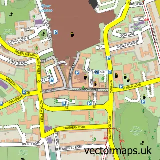
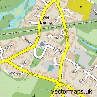
This Sherborne St John street map is a detailed vector street map covering a 750m x 750m area. Select a larger area to create and download your own vector street map of Sherborne St John.
The 750-metre map sample for Sherborne St John covers 257 mapped buildings and approximately 10.8 km of road detail, of which 13 named roads are named. The immediate area includes 1 school, 1 GP surgery within 2 miles, 2 pubs and 15 MOT stations within 2 miles. The wider area around Sherborne St John features 1 tourism point of interest and 2 food and drink venues. To create a larger or custom map of Sherborne St John, the map builder lets you define your own coverage area and download editable SVG, PDF and PNG files.
Create a larger editable map of Sherborne St John
Choose any area you need and generate a high-quality vector map instantly. Perfect for print, planning, design, business and personal use.

This Sherborne St John street map in Hampshire is available as downloadable SVG, PDF and PNG map files, or as a printed map for planning, business, display, education, local information and design work. You can also create a larger custom map area using the map selector.
What this Sherborne St John map sample shows
Sherborne St John lies within Sherborne St. John Cp parish, part of Sherborne St John ward in the Basingstoke And Deane District (B) local authority area. The postcode geography for this area includes the RG postcode area, the RG24 postcode district and the RG24 9 postcode sector. Residents fall under the Nhs Hampshire And Isle Of Wight Integrated Care Board for NHS services.
Local features near Sherborne St John
Within 2 milesAmenities and services in and around Sherborne St John.
Administrative and postcode information for Sherborne St John
Sherborne St John lies within Sherborne St. John Cp parish, part of Sherborne St John ward in the Basingstoke And Deane District (B) local authority area. The postcode geography for this area includes the RG postcode area, the RG24 postcode district and the RG24 9 postcode sector. Residents fall under the Nhs Hampshire And Isle Of Wight Integrated Care Board for NHS services.
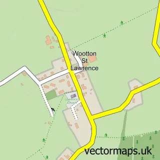
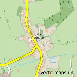
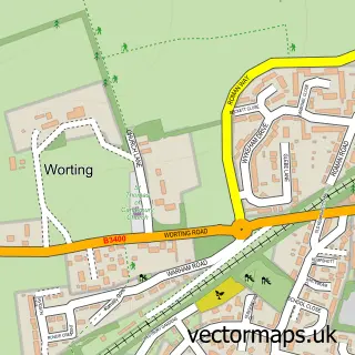
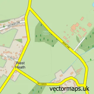
Nearby street map samples around Sherborne St John

More street maps in Hampshire
750 metre map area coverage
Boundary, postcode and point of interest information for the 750m x 750m rectangle centred on this sample map.
Boundaries containing map centre
Constituency: North West Hampshire Co Const
County: Hampshire County
District: Basingstoke and Deane District (B)
Icb: NHS Hampshire and Isle of Wight ICB
Parish: Sherborne St. John CP
Police Force: hampshire
Postcode District: RG24
Postcode Sector: RG24 9
Ward: Sherborne St. John & Rooksdown Ward
Nearby boundaries intersecting sample
No additional intersecting boundaries found.
Postcode coverage
POI category counts
Business Management Services: 2
Post Office: 2
Pub: 2
Anglican Church: 1
Arts And Entertainment: 1
Assisted Living Facility: 1
Beauty And Spa: 1
Beer Bar: 1
Business Consulting: 1
Church Cathedral: 1
Sample points of interest
- St Andrew's, Sherborne St John
- The Glass Duck
- The Grange Nursing Home
- The Skin Sanctuary
- Chef & Brewer - Swan - Sherborne St John
- Pharmacy Sales & Consultancy
- Pharmacy Advice & Consultancy Services Ltd.
- Pharmacy Sales & Consultancy
- Sherbornes with Pamber Churches
- Sherborne St John Village Hall
- Jenni Stafford Ballet Academy
- Just Animals
Create a larger editable map of Sherborne St John
This sample shows only a 750 metre area. To create a larger map of Sherborne St John, use our map builder to choose your own coverage area, add titles and download editable SVG, PDF and PNG files.
Create a custom map of Sherborne St John