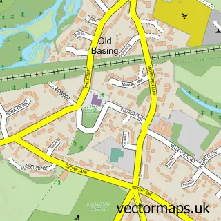
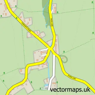
This Basingstoke street map is a detailed vector street map covering a 750m x 750m area. Select a larger area to create and download your own vector street map of Basingstoke.
The 750-metre map sample for Basingstoke covers 218 mapped buildings and approximately 16.8 km of road detail, of which 41 named roads are named. The immediate area includes 1 school, 4 GP surgeries within 2 miles, 13 pubs and 2 MOT stations, with 34 within 2 miles. The wider area around Basingstoke features 13 tourism points of interest, 45 food and drink venues and 6 hotels. To create a larger or custom map of Basingstoke, the map builder lets you define your own coverage area and download editable SVG, PDF and PNG files.
Create a larger editable map of Basingstoke
Choose any area you need and generate a high-quality vector map instantly. Perfect for print, planning, design, business and personal use.

This Basingstoke street map in Hampshire is available as downloadable SVG, PDF and PNG map files, or as a printed map for planning, business, display, education, local information and design work. You can also create a larger custom map area using the map selector.
What this Basingstoke map sample shows
Basingstoke lies within Hampshire County parish, part of Brookvale And Kings Furlong ward in the Basingstoke And Deane District (B) local authority area. The postcode geography for this area includes the RG postcode area, the RG21 postcode district and the RG21 6 postcode sector. Residents fall under the Nhs Hampshire And Isle Of Wight Integrated Care Board for NHS services.
Local features near Basingstoke
Within 2 milesAmenities and services in and around Basingstoke.
Administrative and postcode information for Basingstoke
Basingstoke lies within Hampshire County parish, part of Brookvale And Kings Furlong ward in the Basingstoke And Deane District (B) local authority area. The postcode geography for this area includes the RG postcode area, the RG21 postcode district and the RG21 6 postcode sector. Residents fall under the Nhs Hampshire And Isle Of Wight Integrated Care Board for NHS services.
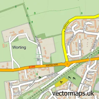
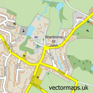
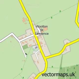
Nearby street map samples around Basingstoke


More street maps in Hampshire
750 metre map area coverage
Boundary, postcode and point of interest information for the 750m x 750m rectangle centred on this sample map.
Boundaries containing map centre
Constituency: Basingstoke Boro Const
County: Hampshire County
District: Basingstoke and Deane District (B)
Icb: NHS Hampshire and Isle of Wight ICB
Police Force: hampshire
Postcode District: RG21
Postcode Sector: RG21 7
Ward: Brookvale & Kings Furlong Ward
Nearby boundaries intersecting sample
Postcode Sector: RG21 3, RG21 4, RG21 8
Ward: Eastrop & Grove Ward
Postcode coverage
POI category counts
Beauty Salon: 23
Real Estate Agent: 23
Jewelry Store: 22
Clothing Store: 20
Employment Agencies: 20
Hair Salon: 18
Charity Organization: 16
Fast Food Restaurant: 14
Bank Credit Union: 13
Barber: 13
Sample points of interest
- Cranleys Chartered Accountants
- Haines Watts
- Shorthouse & Martin Ltd.
- Shorthouse & Martin Ltd.
- TaxAssist Accountants
- Alive With Ideas
- Canary Jam Media
- Click 71
- E Y Communications
- Make
- Wise Connection Partners
- Vermot UK Ltd.
Create a larger editable map of Basingstoke
This sample shows only a 750 metre area. To create a larger map of Basingstoke, use our map builder to choose your own coverage area, add titles and download editable SVG, PDF and PNG files.
Create a custom map of Basingstoke