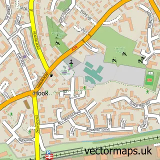
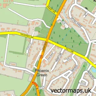
This Rotherwick street map is a detailed vector street map covering a 750m x 750m area. Select a larger area to create and download your own vector street map of Rotherwick.
The 750-metre map sample for Rotherwick covers 63 mapped buildings and approximately 7.3 km of road detail, of which 4 named roads are named. The immediate area includes 1 school, 2 pubs and 6 MOT stations within 2 miles. The wider area around Rotherwick features 3 food and drink venues. To create a larger or custom map of Rotherwick, the map builder lets you define your own coverage area and download editable SVG, PDF and PNG files.
Create a larger editable map of Rotherwick
Choose any area you need and generate a high-quality vector map instantly. Perfect for print, planning, design, business and personal use.

This Rotherwick street map in Hampshire is available as downloadable SVG, PDF and PNG map files, or as a printed map for planning, business, display, education, local information and design work. You can also create a larger custom map area using the map selector.
What this Rotherwick map sample shows
Rotherwick lies within Rotherwick Cp parish, part of Hook ward in the Hart District local authority area. The postcode geography for this area includes the RG postcode area, the RG27 postcode district and the RG27 9 postcode sector. Residents fall under the Nhs Hampshire And Isle Of Wight Integrated Care Board for NHS services.
Local features near Rotherwick
Within 2 milesAmenities and services in and around Rotherwick.
Administrative and postcode information for Rotherwick
Rotherwick lies within Rotherwick Cp parish, part of Hook ward in the Hart District local authority area. The postcode geography for this area includes the RG postcode area, the RG27 postcode district and the RG27 9 postcode sector. Residents fall under the Nhs Hampshire And Isle Of Wight Integrated Care Board for NHS services.
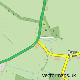
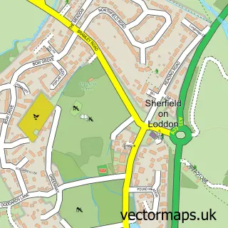
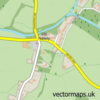
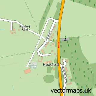
Nearby street map samples around Rotherwick

More street maps in Hampshire
750 metre map area coverage
Boundary, postcode and point of interest information for the 750m x 750m rectangle centred on this sample map.
Boundaries containing map centre
Constituency: North East Hampshire Co Const
County: Hampshire County
District: Hart District
Icb: NHS Hampshire and Isle of Wight ICB
Parish: Rotherwick CP
Police Force: hampshire
Postcode District: RG27
Postcode Sector: RG27 9
Ward: Hook Ward
Nearby boundaries intersecting sample
No additional intersecting boundaries found.
Postcode coverage
POI category counts
Business To Business: 2
Pub: 2
Building Supply Store: 1
Church Cathedral: 1
Dairy Farm: 1
Elementary School: 1
Event Planning: 1
Farm: 1
Hvac Services: 1
Photography Store And Services: 1
Sample points of interest
- Ftuk
- The Craft Ecademy Ltd.
- The Flower Preservation Studio
- Rotherwick Church
- The Lyde Larder
- Whitewater Church of England Primary School
- Rotherwick Village Hall
- The Rotherwick Patch
- Fridgetech UK
- Leanne du Plessis Photography
- Coach & Horses
- The Coach and Horses Rotherwick
Create a larger editable map of Rotherwick
This sample shows only a 750 metre area. To create a larger map of Rotherwick, use our map builder to choose your own coverage area, add titles and download editable SVG, PDF and PNG files.
Create a custom map of Rotherwick