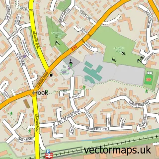
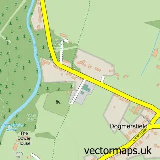
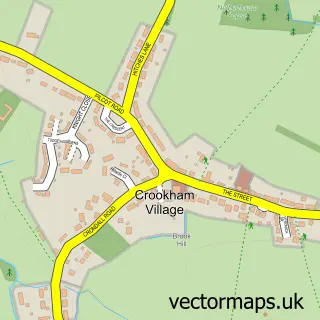
This Phoenix Green street map is a detailed vector street map covering a 750m x 750m area. Select a larger area to create and download your own vector street map of Phoenix Green.
The 750-metre map sample for Phoenix Green covers 298 mapped buildings and approximately 14.7 km of road detail, of which 24 named roads are named. The immediate area includes 1 GP surgery within 2 miles, 1 pub and 1 MOT station, with 5 within 2 miles. The wider area around Phoenix Green features 1 food and drink venue. To create a larger or custom map of Phoenix Green, the map builder lets you define your own coverage area and download editable SVG, PDF and PNG files.
Create a larger editable map of Phoenix Green
Choose any area you need and generate a high-quality vector map instantly. Perfect for print, planning, design, business and personal use.

This Phoenix Green street map in Hampshire is available as downloadable SVG, PDF and PNG map files, or as a printed map for planning, business, display, education, local information and design work. You can also create a larger custom map area using the map selector.
What this Phoenix Green map sample shows
Phoenix Green lies within Hartley Wintney Cp parish, part of Hartley Wintney ward in the Hart District local authority area. The postcode geography for this area includes the RG postcode area, the RG27 postcode district and the RG27 8 postcode sector. Residents fall under the Nhs Hampshire And Isle Of Wight Integrated Care Board for NHS services.
Local features near Phoenix Green
Within 2 milesAmenities and services in and around Phoenix Green.
Administrative and postcode information for Phoenix Green
Phoenix Green lies within Hartley Wintney Cp parish, part of Hartley Wintney ward in the Hart District local authority area. The postcode geography for this area includes the RG postcode area, the RG27 postcode district and the RG27 8 postcode sector. Residents fall under the Nhs Hampshire And Isle Of Wight Integrated Care Board for NHS services.
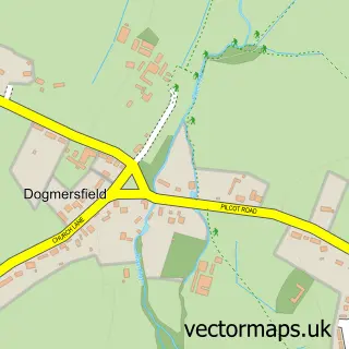
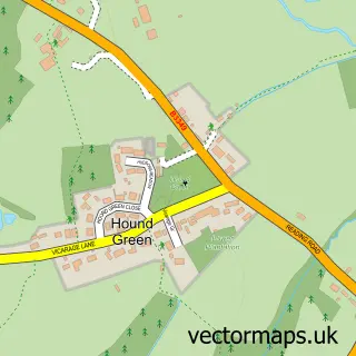
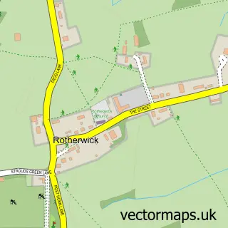
Nearby street map samples around Phoenix Green

More street maps in Hampshire
750 metre map area coverage
Boundary, postcode and point of interest information for the 750m x 750m rectangle centred on this sample map.
Boundaries containing map centre
Constituency: North East Hampshire Co Const
County: Hampshire County
District: Hart District
Icb: NHS Hampshire and Isle of Wight ICB
Parish: Hartley Wintney CP
Police Force: hampshire
Postcode District: RG27
Postcode Sector: RG27 8
Ward: Hartley Wintney Ward
Nearby boundaries intersecting sample
No additional intersecting boundaries found.
Postcode coverage
POI category counts
Gas Station: 5
Beauty Salon: 2
Italian Restaurant: 2
Pet Groomer: 2
Retail: 2
Accommodation: 1
Beauty And Spa: 1
Building Supply Store: 1
Car Wash: 1
Carpenter: 1
Sample points of interest
- Phoenix Green
- House of Beauty - Hartley Wintney
- Hartley Beauty & Training
- Secret Skin Aesthetics
- H.A.C.S Ayres
- Hartley Wintney Car Wash
- Champion Carpentry
- Corbitt Greenwood Associates
- Londis PHOENIX GREEN SERVICE STATION
- KWH Electrics
- Oakwood Infant School
- Charles Park Search & Selection
Create a larger editable map of Phoenix Green
This sample shows only a 750 metre area. To create a larger map of Phoenix Green, use our map builder to choose your own coverage area, add titles and download editable SVG, PDF and PNG files.
Create a custom map of Phoenix Green