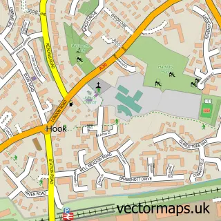
This Hartley Wintney street map is a detailed vector street map covering a 750m x 750m area. Select a larger area to create and download your own vector street map of Hartley Wintney.
The 750-metre map sample for Hartley Wintney covers 341 mapped buildings and approximately 15.9 km of road detail, of which 36 named roads are named. The immediate area includes 1 GP surgery, 4 pubs and 3 MOT stations within 2 miles. The wider area around Hartley Wintney features 10 food and drink venues. To create a larger or custom map of Hartley Wintney, the map builder lets you define your own coverage area and download editable SVG, PDF and PNG files.
Create a larger editable map of Hartley Wintney
Choose any area you need and generate a high-quality vector map instantly. Perfect for print, planning, design, business and personal use.

This Hartley Wintney street map in Hampshire is available as downloadable SVG, PDF and PNG map files, or as a printed map for planning, business, display, education, local information and design work. You can also create a larger custom map area using the map selector.
What this Hartley Wintney map sample shows
Hartley Wintney lies within Hartley Wintney Cp parish, part of Hartley Wintney ward in the Hart District local authority area. The postcode geography for this area includes the RG postcode area, the RG27 postcode district and the RG27 8 postcode sector. Residents fall under the Nhs Hampshire And Isle Of Wight Integrated Care Board for NHS services.
Local features near Hartley Wintney
Within 2 milesAmenities and services in and around Hartley Wintney.
Administrative and postcode information for Hartley Wintney
Hartley Wintney lies within Hartley Wintney Cp parish, part of Hartley Wintney ward in the Hart District local authority area. The postcode geography for this area includes the RG postcode area, the RG27 postcode district and the RG27 8 postcode sector. Residents fall under the Nhs Hampshire And Isle Of Wight Integrated Care Board for NHS services.
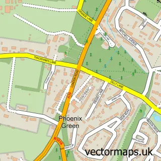
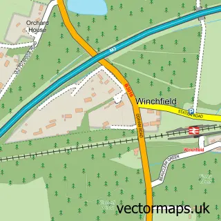
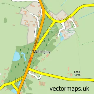
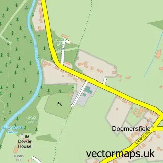
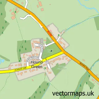
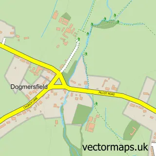
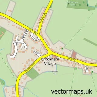
Nearby street map samples around Hartley Wintney

More street maps in Hampshire
750 metre map area coverage
Boundary, postcode and point of interest information for the 750m x 750m rectangle centred on this sample map.
Boundaries containing map centre
Constituency: North East Hampshire Co Const
County: Hampshire County
District: Hart District
Icb: NHS Hampshire and Isle of Wight ICB
Parish: Hartley Wintney CP
Police Force: hampshire
Postcode District: RG27
Postcode Sector: RG27 8
Ward: Hartley Wintney Ward
Nearby boundaries intersecting sample
No additional intersecting boundaries found.
Postcode coverage
POI category counts
Beauty Salon: 7
Doctor: 6
Financial Advising: 6
Business Management Services: 5
Real Estate Agent: 5
Advertising Agency: 4
Hair Salon: 4
Professional Services: 4
Pub: 4
Barber: 3
Sample points of interest
- Frost & Willan Accounting
- Kyla Phillips Acupuncture
- Brands With Influence
- Integrated Marketing Contact
- Ridge Consulting
- Shine Creative
- Hartley Antiques Centre
- Odiham Cottage Hospital Charity Shop
- Lyons+Sleeman+Hoare Ltd Architects
- Gallery Fifty Five
- ColourWheel Art Class
- Make Hartley Wintney
Create a larger editable map of Hartley Wintney
This sample shows only a 750 metre area. To create a larger map of Hartley Wintney, use our map builder to choose your own coverage area, add titles and download editable SVG, PDF and PNG files.
Create a custom map of Hartley Wintney