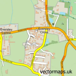
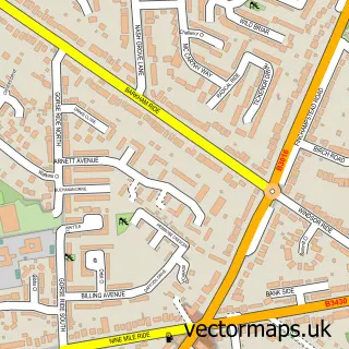
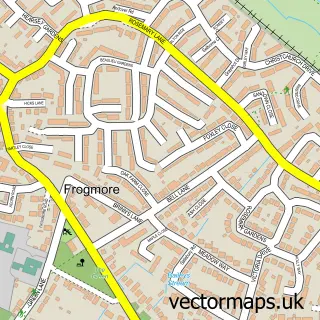
This Eversley Centre street map is a detailed vector street map covering a 750m x 750m area. Select a larger area to create and download your own vector street map of Eversley Centre.
The 750-metre map sample for Eversley Centre covers 109 mapped buildings and approximately 4.4 km of road detail, of which 8 named roads are named. The immediate area includes 1 GP surgery within 2 miles, 1 pub and 3 MOT stations within 2 miles. The wider area around Eversley Centre features 1 food and drink venue and 1 hotel. To create a larger or custom map of Eversley Centre, the map builder lets you define your own coverage area and download editable SVG, PDF and PNG files.
Create a larger editable map of Eversley Centre
Choose any area you need and generate a high-quality vector map instantly. Perfect for print, planning, design, business and personal use.

This Eversley Centre street map in Hampshire is available as downloadable SVG, PDF and PNG map files, or as a printed map for planning, business, display, education, local information and design work. You can also create a larger custom map area using the map selector.
What this Eversley Centre map sample shows
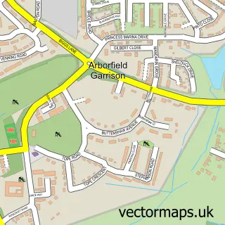
Eversley Centre lies within Eversley Cp parish, part of Hartley Wintney ward in the Hart District local authority area. The postcode geography for this area includes the RG postcode area, the RG27 postcode district and the RG27 0 postcode sector. Residents fall under the Nhs Frimley Integrated Care Board for NHS services.
Local features near Eversley Centre
Within 2 milesAmenities and services in and around Eversley Centre.
Administrative and postcode information for Eversley Centre
Eversley Centre lies within Eversley Cp parish, part of Hartley Wintney ward in the Hart District local authority area. The postcode geography for this area includes the RG postcode area, the RG27 postcode district and the RG27 0 postcode sector. Residents fall under the Nhs Frimley Integrated Care Board for NHS services.
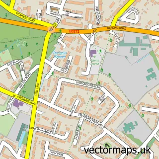
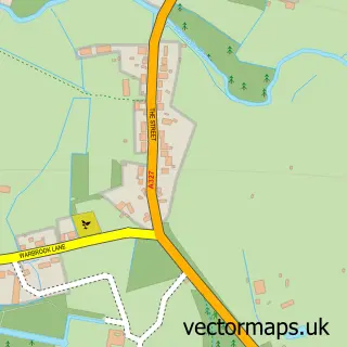
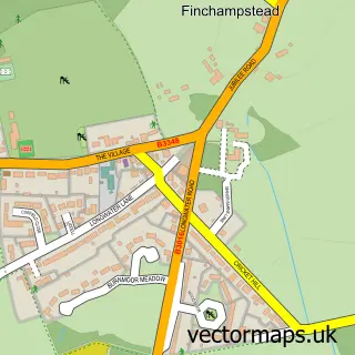
Nearby street map samples around Eversley Centre

More street maps in Hampshire
750 metre map area coverage
Boundary, postcode and point of interest information for the 750m x 750m rectangle centred on this sample map.
Boundaries containing map centre
Constituency: North East Hampshire Co Const
County: Hampshire County
District: Hart District
Icb: NHS Frimley ICB
Parish: Eversley CP
Police Force: hampshire
Postcode District: RG27
Postcode Sector: RG27 0
Ward: Hartley Wintney Ward
Nearby boundaries intersecting sample
No additional intersecting boundaries found.
Postcode coverage
POI category counts
It Service And Computer Repair: 2
Automotive Repair: 1
Employment Agencies: 1
Financial Advising: 1
Fire Protection Service: 1
Gastropub: 1
Hotel: 1
Landscaping: 1
Makeup Artist: 1
Nursery And Gardening: 1
Sample points of interest
- Safari Engineering
- E G L
- The Acorn Partnership I F a LLP
- A-OK Complete Compliance
- The Golden Pot
- The Kingsley at Eversley
- Sandrila
- xRM Partners
- Logic Landscaping
- Melissa Clare Makeup and Hair
- Lindum Nurseries
- Post Office
Create a larger editable map of Eversley Centre
This sample shows only a 750 metre area. To create a larger map of Eversley Centre, use our map builder to choose your own coverage area, add titles and download editable SVG, PDF and PNG files.
Create a custom map of Eversley Centre