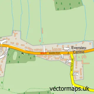
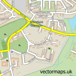
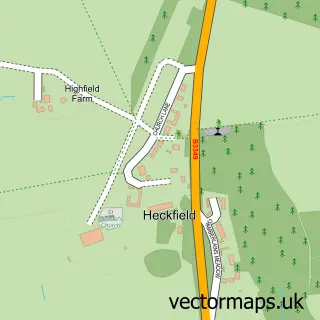
This Eversley street map is a detailed vector street map covering a 750m x 750m area. Select a larger area to create and download your own vector street map of Eversley.
The 750-metre map sample for Eversley covers 81 mapped buildings and approximately 3.6 km of road detail, of which 2 named roads are named. The immediate area includes 1 GP surgery within 2 miles, 2 pubs and 3 MOT stations within 2 miles. The wider area around Eversley features 3 food and drink venues. To create a larger or custom map of Eversley, the map builder lets you define your own coverage area and download editable SVG, PDF and PNG files.
Create a larger editable map of Eversley
Choose any area you need and generate a high-quality vector map instantly. Perfect for print, planning, design, business and personal use.

This Eversley street map in Hampshire is available as downloadable SVG, PDF and PNG map files, or as a printed map for planning, business, display, education, local information and design work. You can also create a larger custom map area using the map selector.
What this Eversley map sample shows
Eversley lies within Eversley Cp parish, part of Hartley Wintney ward in the Hart District local authority area. The postcode geography for this area includes the RG postcode area, the RG27 postcode district and the RG27 0 postcode sector. Residents fall under the Nhs Frimley Integrated Care Board for NHS services.
Local features near Eversley
Within 2 milesAmenities and services in and around Eversley.
Administrative and postcode information for Eversley
The local authority covering Eversley is Hart District, within the county of Hampshire. The settlement lies within Hartley Wintney ward and Eversley Cp civil parish. The RG27 postcode district and RG27 0 postcode sector serve the immediate area. NHS provision in the area is delivered through Frimley Health Nhs Foundation Trust.
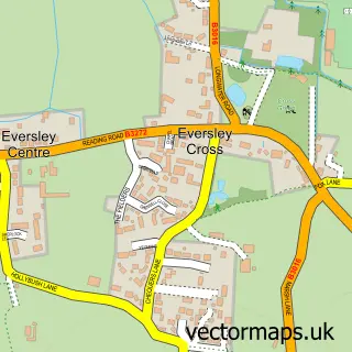
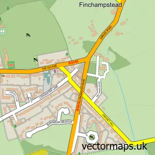
Nearby street map samples around Eversley

More street maps in Hampshire
750 metre map area coverage
Boundary, postcode and point of interest information for the 750m x 750m rectangle centred on this sample map.
Boundaries containing map centre
Constituency: North East Hampshire Co Const
County: Hampshire County
District: Hart District
Icb: NHS Frimley ICB
Parish: Eversley CP
Police Force: hampshire
Postcode District: RG27
Postcode Sector: RG27 0
Ward: Hartley Wintney Ward
Nearby boundaries intersecting sample
Constituency: Wokingham Co Const
District: Wokingham (B)
Icb: NHS Thames Valley ICB
Parish: Finchampstead CP
Police Force: thames valley
Postcode District: RG40
Postcode Sector: RG40 4
Ward: Barkham & Arborfield Ward
Postcode coverage
POI category counts
Professional Services: 5
Pub: 2
Advertising Agency: 1
Appliance Manufacturer: 1
Automotive Repair: 1
Automotive Services And Repair: 1
Employment Agencies: 1
Event Planning: 1
Financial Service: 1
Furniture Store: 1
Sample points of interest
- Help Me Grow | Small business marketing support
- Probes Plus
- Fleet Services Southern
- Charity Solutions
- Pimento Connection
- Warbrook House
- The Acorn Partnership
- Fabian Chic Furniture Products
- Tigerridge Consultancy Services
- Ages Past
- Help Me Grow Business Coaching
- Hound Dog Photography
Create a larger editable map of Eversley
This sample shows only a 750 metre area. To create a larger map of Eversley, use our map builder to choose your own coverage area, add titles and download editable SVG, PDF and PNG files.
Create a custom map of Eversley