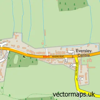
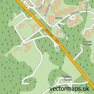
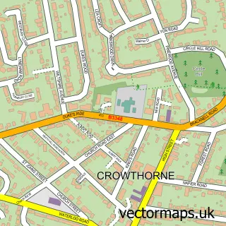
This Eversley Cross street map is a detailed vector street map covering a 750m x 750m area. Select a larger area to create and download your own vector street map of Eversley Cross.
The 750-metre map sample for Eversley Cross covers 203 mapped buildings and approximately 11.0 km of road detail, of which 19 named roads are named. The immediate area includes 1 GP surgery within 2 miles, 1 pub and 4 MOT stations within 2 miles. The wider area around Eversley Cross features 1 tourism point of interest and 1 food and drink venue. To create a larger or custom map of Eversley Cross, the map builder lets you define your own coverage area and download editable SVG, PDF and PNG files.
Create a larger editable map of Eversley Cross
Choose any area you need and generate a high-quality vector map instantly. Perfect for print, planning, design, business and personal use.

This Eversley Cross street map in Hampshire is available as downloadable SVG, PDF and PNG map files, or as a printed map for planning, business, display, education, local information and design work. You can also create a larger custom map area using the map selector.
What this Eversley Cross map sample shows
Eversley Cross lies within Eversley Cp parish, part of Hartley Wintney ward in the Hart District local authority area. The postcode geography for this area includes the RG postcode area, the RG27 postcode district and the RG27 0 postcode sector. Residents fall under the Nhs Frimley Integrated Care Board for NHS services.
Local features near Eversley Cross
Within 2 milesAmenities and services in and around Eversley Cross.
Administrative and postcode information for Eversley Cross
The local authority covering Eversley Cross is Hart District, within the county of Hampshire. The settlement lies within Hartley Wintney ward and Eversley Cp civil parish. The RG27 postcode district and RG27 0 postcode sector serve the immediate area. NHS provision in the area is delivered through Frimley Health Nhs Foundation Trust.
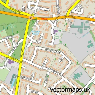
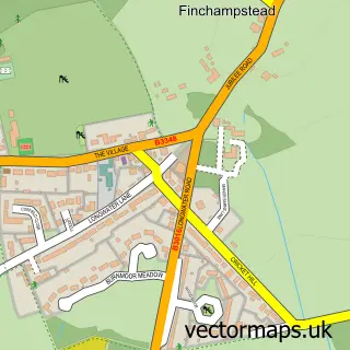
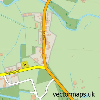
Nearby street map samples around Eversley Cross

More street maps in Hampshire
750 metre map area coverage
Boundary, postcode and point of interest information for the 750m x 750m rectangle centred on this sample map.
Boundaries containing map centre
Constituency: North East Hampshire Co Const
County: Hampshire County
District: Hart District
Icb: NHS Frimley ICB
Parish: Eversley CP
Police Force: hampshire
Postcode District: RG27
Postcode Sector: RG27 0
Ward: Hartley Wintney Ward
Nearby boundaries intersecting sample
No additional intersecting boundaries found.
Postcode coverage
POI category counts
Advertising Agency: 3
Car Dealer: 2
Nursery And Gardening: 2
Sports And Recreation Venue: 2
Active Life: 1
Amateur Sports Team: 1
Beauty Product Supplier: 1
Contractor: 1
Electrician: 1
Environmental Conservation Organization: 1
Sample points of interest
- Wokingham Cricket Club
- Collective Industries
- Custom Golf Gloves
- Souter P R
- Eversley Sports Association
- Mimi's
- Auto Choices
- Renascence Vehicle Leasing
- Advanced Marking Services
- Smith & Howard
- Lilacs Land Consultants Llp
- The Chequers
Create a larger editable map of Eversley Cross
This sample shows only a 750 metre area. To create a larger map of Eversley Cross, use our map builder to choose your own coverage area, add titles and download editable SVG, PDF and PNG files.
Create a custom map of Eversley Cross