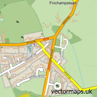
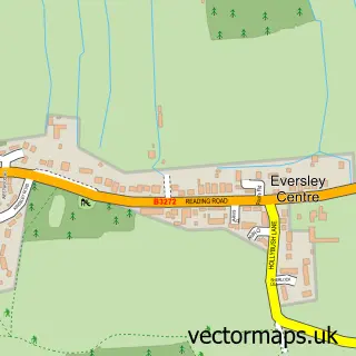
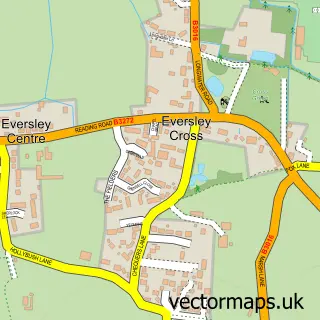
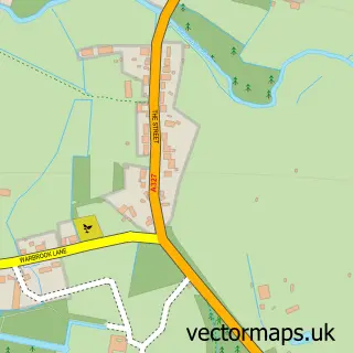
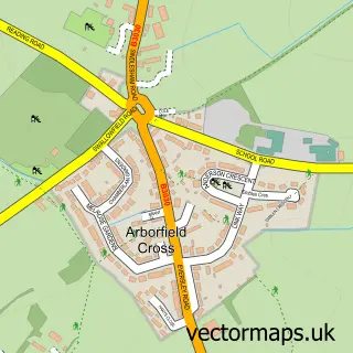
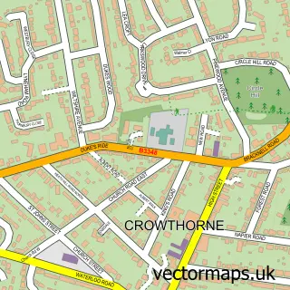
This Finchampstead street map is a detailed vector street map covering a 750m x 750m area. Select a larger area to create and download your own vector street map of Finchampstead.
The 750-metre map sample for Finchampstead covers 520 mapped buildings and approximately 18.7 km of road detail, of which 36 named roads are named. The immediate area includes 1 school, 1 GP surgery within 2 miles and 7 MOT stations within 2 miles. The wider area around Finchampstead features 2 tourism points of interest. To create a larger or custom map of Finchampstead, the map builder lets you define your own coverage area and download editable SVG, PDF and PNG files.
Create a larger editable map of Finchampstead
Choose any area you need and generate a high-quality vector map instantly. Perfect for print, planning, design, business and personal use.

This Finchampstead street map in Berkshire is available as downloadable SVG, PDF and PNG map files, or as a printed map for planning, business, display, education, local information and design work. You can also create a larger custom map area using the map selector.
What this Finchampstead map sample shows
Finchampstead lies within Finchampstead Cp parish, part of Finchampstead South ward in the Wokingham (B) local authority area. The postcode geography for this area includes the RG postcode area, the RG40 postcode district and the RG40 3 postcode sector. Residents fall under the Nhs Buckinghamshire, Oxfordshire And Berkshire West Integrated Care Board for NHS services.
Local features near Finchampstead
Within 2 milesAmenities and services in and around Finchampstead.
Administrative and postcode information for Finchampstead
The local authority covering Finchampstead is Wokingham (B), within the county of Berkshire. The settlement lies within Finchampstead South ward and Finchampstead Cp civil parish. The RG40 postcode district and RG40 3 postcode sector serve the immediate area. NHS provision in the area is delivered through Royal Berkshire Nhs Foundation Trust.
Nearby street map samples around Finchampstead

More street maps in Berkshire
750 metre map area coverage
Boundary, postcode and point of interest information for the 750m x 750m rectangle centred on this sample map.
Boundaries containing map centre
Constituency: Wokingham Co Const
District: Wokingham (B)
Icb: NHS Thames Valley ICB
Parish: Finchampstead CP
Police Force: thames valley
Postcode District: RG40
Postcode Sector: RG40 4
Ward: Finchampstead Ward
Nearby boundaries intersecting sample
Postcode Sector: RG40 3
Postcode coverage
POI category counts
Church Cathedral: 6
Convenience Store: 5
Contractor: 4
Dentist: 4
Professional Services: 4
Bus Station: 3
Elementary School: 3
Fish And Chips Restaurant: 3
Hvac Services: 3
Accountant: 2
Sample points of interest
- ELC Accountancy Limited
- Whiz Accounting Services Limited
- Tumble Tots Reading
- PFC St Mary and St John, California
- California Hall
- PayPoint
- Home-Spark
- The Window Dresser
- Cresswells Garage
- InstaVolt Charging Station
- B-dazzled Hair & Aesthetics
- DTS Beauty
Create a larger editable map of Finchampstead
This sample shows only a 750 metre area. To create a larger map of Finchampstead, use our map builder to choose your own coverage area, add titles and download editable SVG, PDF and PNG files.
Create a custom map of Finchampstead