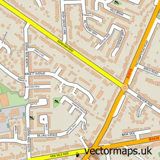
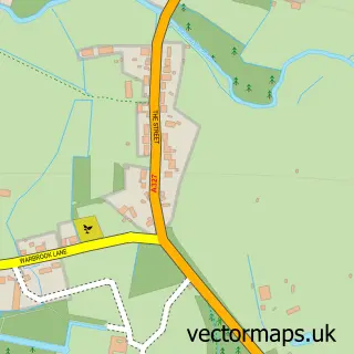
This Barkham street map is a detailed vector street map covering a 750m x 750m area. Select a larger area to create and download your own vector street map of Barkham.
The 750-metre map sample for Barkham covers 406 mapped buildings and approximately 10.9 km of road detail, of which 21 named roads are named. The immediate area includes 2 GP surgeries within 2 miles and 12 MOT stations within 2 miles. To create a larger or custom map of Barkham, the map builder lets you define your own coverage area and download editable SVG, PDF and PNG files.
Create a larger editable map of Barkham
Choose any area you need and generate a high-quality vector map instantly. Perfect for print, planning, design, business and personal use.

This Barkham street map in Berkshire is available as downloadable SVG, PDF and PNG map files, or as a printed map for planning, business, display, education, local information and design work. You can also create a larger custom map area using the map selector.
What this Barkham map sample shows
Barkham lies within Barkham Cp parish, part of Barkham ward in the Wokingham (B) local authority area. The postcode geography for this area includes the RG postcode area, the RG41 postcode district and the RG41 4 postcode sector. Residents fall under the Nhs Buckinghamshire, Oxfordshire And Berkshire West Integrated Care Board for NHS services.
Local features near Barkham
Within 2 milesAmenities and services in and around Barkham.
Administrative and postcode information for Barkham
The local authority covering Barkham is Wokingham (B), within the county of Berkshire. The settlement lies within Barkham ward and Barkham Cp civil parish. The RG41 postcode district and RG41 4 postcode sector serve the immediate area. NHS provision in the area is delivered through Royal Berkshire Nhs Foundation Trust.
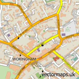
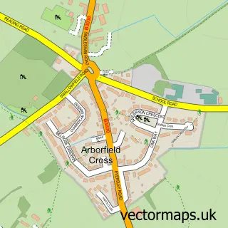
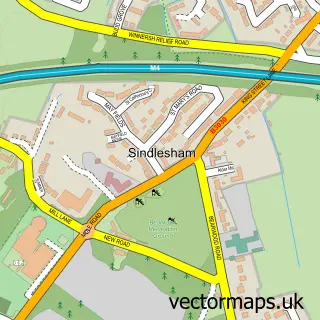
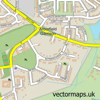
Nearby street map samples around Barkham

More street maps in Berkshire
750 metre map area coverage
Boundary, postcode and point of interest information for the 750m x 750m rectangle centred on this sample map.
Boundaries containing map centre
Constituency: Wokingham Co Const
District: Wokingham (B)
Icb: NHS Thames Valley ICB
Parish: Barkham CP
Police Force: thames valley
Postcode District: RG41
Postcode Sector: RG41 4
Ward: Barkham & Arborfield Ward
Nearby boundaries intersecting sample
Parish: Wokingham CP
Postcode Sector: RG41 3
Ward: Evendons Ward
Postcode coverage
POI category counts
Bus Service: 3
Advertising Agency: 2
Automotive Repair: 2
Construction Services: 2
Gardener: 2
Home Service: 2
Auto Body Shop: 1
Beauty Salon: 1
Building Supply Store: 1
Business Management Services: 1
Sample points of interest
- No.50
- Rodriguez & Smith
- DentSmart Ltd
- A1 Wokingham Car Spares
- Earley Autos
- Kathryn Atkins Wellbeing
- 1st Choice Fencing
- Chauffeur Drive
- Primeace Chauffeur Services
- Primeace Chauffeur Services
- A1 - Loo Hire
- Classic Cars R Us
Create a larger editable map of Barkham
This sample shows only a 750 metre area. To create a larger map of Barkham, use our map builder to choose your own coverage area, add titles and download editable SVG, PDF and PNG files.
Create a custom map of Barkham