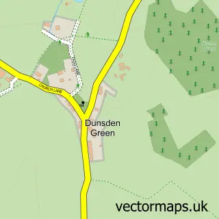
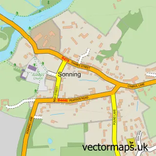
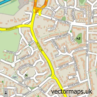
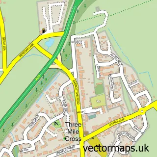
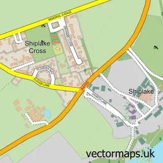
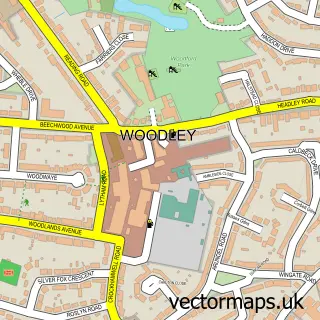
This Reading street map is a detailed vector street map covering a 750m x 750m area. Select a larger area to create and download your own vector street map of Reading.
The 750-metre map sample for Reading covers 100 mapped buildings and approximately 19.7 km of road detail, of which 50 named roads are named. The immediate area includes 1 railway station, 15 GP surgeries within 2 miles, 25 pubs and 37 MOT stations within 2 miles. The wider area around Reading features 14 tourism points of interest, 104 food and drink venues and 13 hotels. To create a larger or custom map of Reading, the map builder lets you define your own coverage area and download editable SVG, PDF and PNG files.
Create a larger editable map of Reading
Choose any area you need and generate a high-quality vector map instantly. Perfect for print, planning, design, business and personal use.

This Reading street map in Berkshire is available as downloadable SVG, PDF and PNG map files, or as a printed map for planning, business, display, education, local information and design work. You can also create a larger custom map area using the map selector.
What this Reading map sample shows
Reading lies within Reading (B) parish, part of Abbey ward in the Reading (B) local authority area. The postcode geography for this area includes the RG postcode area, the RG1 postcode district and the RG1 2 postcode sector. Residents fall under the Nhs Buckinghamshire, Oxfordshire And Berkshire West Integrated Care Board for NHS services.
Local features near Reading
Within 2 milesAmenities and services in and around Reading.
Administrative and postcode information for Reading
Reading lies within Reading (B) parish, part of Abbey ward in the Reading (B) local authority area. The postcode geography for this area includes the RG postcode area, the RG1 postcode district and the RG1 2 postcode sector. Residents fall under the Nhs Buckinghamshire, Oxfordshire And Berkshire West Integrated Care Board for NHS services.
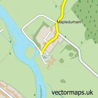
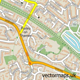
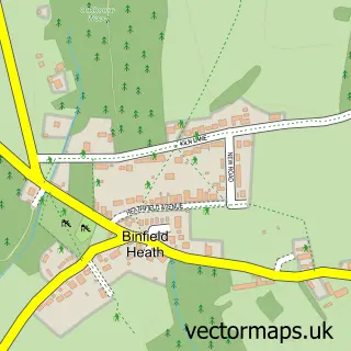
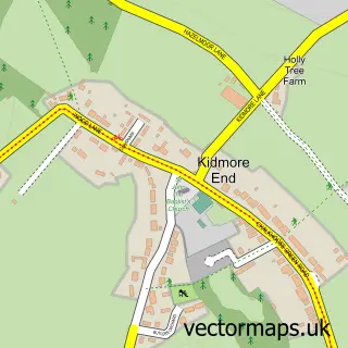
Nearby street map samples around Reading

More street maps in Berkshire
750 metre map area coverage
Boundary, postcode and point of interest information for the 750m x 750m rectangle centred on this sample map.
Boundaries containing map centre
Constituency: Reading Central Boro Const
District: Reading (B)
Icb: NHS Thames Valley ICB
Police Force: thames valley
Postcode District: RG1
Postcode Sector: RG1 1
Ward: Abbey Ward
Nearby boundaries intersecting sample
Postcode Sector: RG1 2, RG1 3, RG1 4, RG1 7, RG1 8
Ward: Katesgrove Ward, Thames Ward
Postcode coverage
POI category counts
Employment Agencies: 58
Clothing Store: 49
Professional Services: 48
Coffee Shop: 38
Bar: 33
Beauty Salon: 28
Jewelry Store: 27
Mobile Phone Store: 25
Restaurant: 25
Pub: 24
Sample points of interest
- Select Serviced Accommodation
- Accounting Services Online
- B D O
- BDO LLP
- BDO LLP
- BookCheck Ltd. Reading
- Chart Accountancy
- Ernst & Young
- Freelancer Accounting
- Gore And Company, Insolvency Practitioners In Reading
- Grant Thornton UK LLP (Reading)
- MHA formerly MHA MacIntyre Hudson
Create a larger editable map of Reading
This sample shows only a 750 metre area. To create a larger map of Reading, use our map builder to choose your own coverage area, add titles and download editable SVG, PDF and PNG files.
Create a custom map of Reading