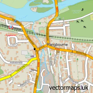
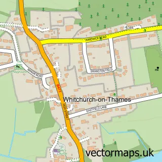
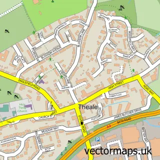
This Purley on Thames street map is a detailed vector street map covering a 750m x 750m area. Select a larger area to create and download your own vector street map of Purley on Thames.
The 750-metre map sample for Purley on Thames covers 490 mapped buildings and approximately 20.0 km of road detail, of which 44 named roads are named. The immediate area includes 5 GP surgeries within 2 miles and 6 MOT stations within 2 miles. To create a larger or custom map of Purley on Thames, the map builder lets you define your own coverage area and download editable SVG, PDF and PNG files.
Create a larger editable map of Purley on Thames
Choose any area you need and generate a high-quality vector map instantly. Perfect for print, planning, design, business and personal use.

This Purley on Thames street map in Berkshire is available as downloadable SVG, PDF and PNG map files, or as a printed map for planning, business, display, education, local information and design work. You can also create a larger custom map area using the map selector.
What this Purley on Thames map sample shows
Purley on Thames lies within Purley On Thames Cp parish, part of Tilehurst & Purley ward in the West Berkshire local authority area. The postcode geography for this area includes the RG postcode area, the RG31 postcode district and the RG31 6 postcode sector. Residents fall under the Nhs Buckinghamshire, Oxfordshire And Berkshire West Integrated Care Board for NHS services.
Local features near Purley on Thames
Within 2 milesAmenities and services in and around Purley on Thames.
Administrative and postcode information for Purley on Thames
The local authority covering Purley on Thames is West Berkshire, within the county of Berkshire. The settlement lies within Tilehurst & Purley ward and Purley On Thames Cp civil parish. The RG31 postcode district and RG31 6 postcode sector serve the immediate area. NHS provision in the area is delivered through Royal Berkshire Nhs Foundation Trust.
Nearby street map samples around Purley on Thames
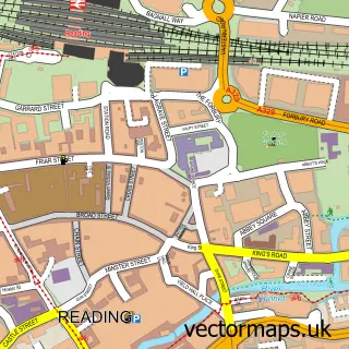

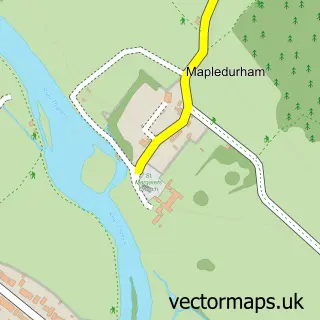
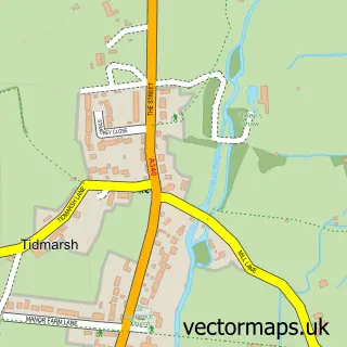
More street maps in Berkshire
750 metre map area coverage
Boundary, postcode and point of interest information for the 750m x 750m rectangle centred on this sample map.
Boundaries containing map centre
Constituency: Reading West and Mid Berkshire Co Const
District: West Berkshire
Icb: NHS Thames Valley ICB
Parish: Purley on Thames CP
Police Force: thames valley
Postcode District: RG8
Postcode Sector: RG8 8
Ward: Tilehurst & Purley Ward
Nearby boundaries intersecting sample
Parish: Tilehurst CP
Postcode District: RG31
Postcode Sector: RG31 6
Postcode coverage
POI category counts
Electrician: 4
Assisted Living Facility: 3
Beauty Salon: 2
Church Cathedral: 2
Medical Center: 2
Professional Services: 2
Real Estate Agent: 2
Retirement Home: 2
Toy Store: 2
Advertising Agency: 1
Sample points of interest
- BPN X
- St. Mary's
- Elizabeth House
- Just Homes
- Yewbank
- Merityre Specialists Purley
- Citrus Reefs
- Riniel's Body and Beauty
- Royal Orchid Beauty
- Clean Business
- Juliet Frost Garden Design
- Fresh Fields
Create a larger editable map of Purley on Thames
This sample shows only a 750 metre area. To create a larger map of Purley on Thames, use our map builder to choose your own coverage area, add titles and download editable SVG, PDF and PNG files.
Create a custom map of Purley on Thames