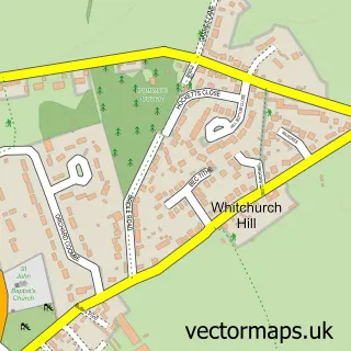
This Whitchurch-on-Thames street map is a detailed vector street map covering a 750m x 750m area. Select a larger area to create and download your own vector street map of Whitchurch-on-Thames.
The 750-metre map sample for Whitchurch-on-Thames covers 253 mapped buildings and approximately 9.4 km of road detail, of which 7 named roads are named. The immediate area includes 1 GP surgery within 2 miles, 2 pubs and 2 MOT stations within 2 miles. The wider area around Whitchurch-on-Thames features 3 food and drink venues. To create a larger or custom map of Whitchurch-on-Thames, the map builder lets you define your own coverage area and download editable SVG, PDF and PNG files.
Create a larger editable map of Whitchurch-on-Thames
Choose any area you need and generate a high-quality vector map instantly. Perfect for print, planning, design, business and personal use.

This Whitchurch-on-Thames street map in Oxfordshire is available as downloadable SVG, PDF and PNG map files, or as a printed map for planning, business, display, education, local information and design work. You can also create a larger custom map area using the map selector.
What this Whitchurch-on-Thames map sample shows
Whitchurch-on-Thames lies within Whitchurch-On-Thames Cp parish, part of Kidmore End & Whitchurch ward in the South Oxfordshire District local authority area. The postcode geography for this area includes the RG postcode area, the RG8 postcode district and the RG8 7 postcode sector. Residents fall under the Nhs Buckinghamshire, Oxfordshire And Berkshire West Integrated Care Board for NHS services.
Local features near Whitchurch-on-Thames
Within 2 milesAmenities and services in and around Whitchurch-on-Thames.
Administrative and postcode information for Whitchurch-on-Thames
Whitchurch-on-Thames lies within Whitchurch-On-Thames Cp parish, part of Kidmore End & Whitchurch ward in the South Oxfordshire District local authority area. The postcode geography for this area includes the RG postcode area, the RG8 postcode district and the RG8 7 postcode sector. Residents fall under the Nhs Buckinghamshire, Oxfordshire And Berkshire West Integrated Care Board for NHS services.
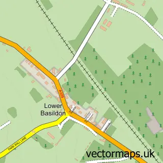
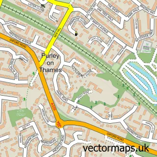
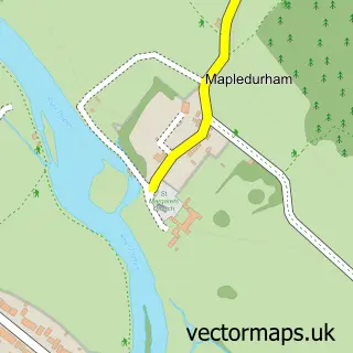
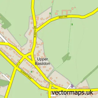
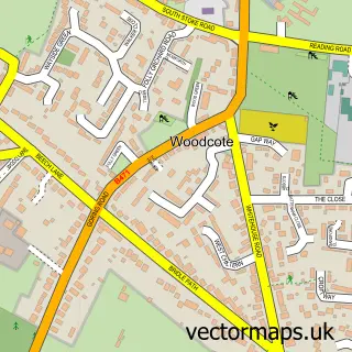
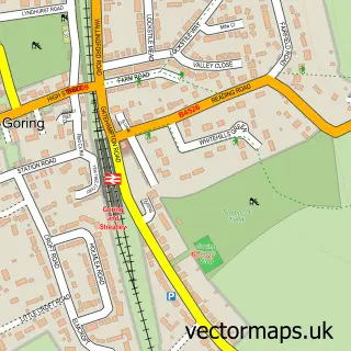
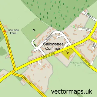
Nearby street map samples around Whitchurch-on-Thames

More street maps in Oxfordshire
750 metre map area coverage
Boundary, postcode and point of interest information for the 750m x 750m rectangle centred on this sample map.
Boundaries containing map centre
Constituency: Henley and Thame Co Const
County: Oxfordshire County
District: South Oxfordshire District
Icb: NHS Thames Valley ICB
Parish: Whitchurch-on-Thames CP
Police Force: thames valley
Postcode District: RG8
Postcode Sector: RG8 7
Ward: Kidmore End & Whitchurch Ward
Nearby boundaries intersecting sample
District: West Berkshire
Parish: Pangbourne CP
Ward: Pangbourne Ward
Postcode coverage
POI category counts
Beauty Salon: 2
Pub: 2
Anglican Church: 1
Art Gallery: 1
Automotive Services And Repair: 1
Bridge: 1
Business: 1
Cafe: 1
Church Cathedral: 1
Department Store: 1
Sample points of interest
- St. Mary the Virgin, Whitchurch on Thames
- Modern Artists Gallery
- Flint House
- Royal Oak Hair Design
- Sklash lash extensions
- Whitchurch Bridge
- Boardsearch
- Art Cafe
- St Marys Church
- Marmalade Online Department Store Est 1966
- Agritron
- Willow Pilates
Create a larger editable map of Whitchurch-on-Thames
This sample shows only a 750 metre area. To create a larger map of Whitchurch-on-Thames, use our map builder to choose your own coverage area, add titles and download editable SVG, PDF and PNG files.
Create a custom map of Whitchurch-on-Thames