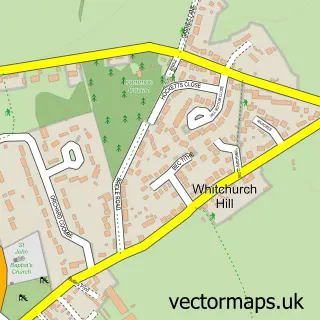
This Woodcote street map is a detailed vector street map covering a 750m x 750m area. Select a larger area to create and download your own vector street map of Woodcote.
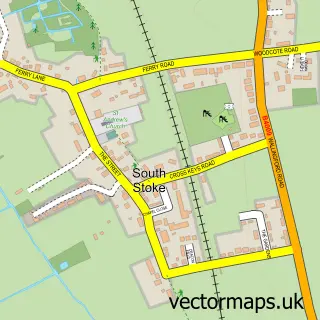
The 750-metre map sample for Woodcote covers 435 mapped buildings and approximately 15.4 km of road detail, of which 25 named roads are named. The immediate area includes 1 GP surgery, 1 pub and 2 MOT stations within 2 miles. The wider area around Woodcote features 2 food and drink venues. To create a larger or custom map of Woodcote, the map builder lets you define your own coverage area and download editable SVG, PDF and PNG files.
Create a larger editable map of Woodcote
Choose any area you need and generate a high-quality vector map instantly. Perfect for print, planning, design, business and personal use.

This Woodcote street map in Oxfordshire is available as downloadable SVG, PDF and PNG map files, or as a printed map for planning, business, display, education, local information and design work. You can also create a larger custom map area using the map selector.
What this Woodcote map sample shows
Woodcote lies within Woodcote Cp parish, part of Woodcote & Rotherfield ward in the South Oxfordshire District local authority area. The postcode geography for this area includes the RG postcode area, the RG8 postcode district and the RG8 0 postcode sector. Residents fall under the Nhs Buckinghamshire, Oxfordshire And Berkshire West Integrated Care Board for NHS services.
Local features near Woodcote
Within 2 milesAmenities and services in and around Woodcote.
Administrative and postcode information for Woodcote
Woodcote lies within Woodcote Cp parish, part of Woodcote & Rotherfield ward in the South Oxfordshire District local authority area. The postcode geography for this area includes the RG postcode area, the RG8 postcode district and the RG8 0 postcode sector. Residents fall under the Nhs Buckinghamshire, Oxfordshire And Berkshire West Integrated Care Board for NHS services.
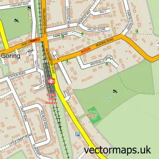
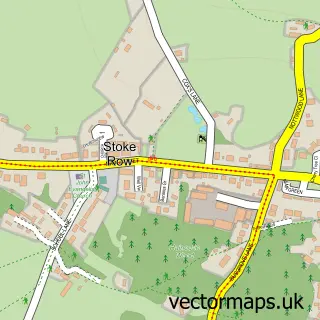
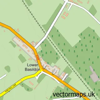
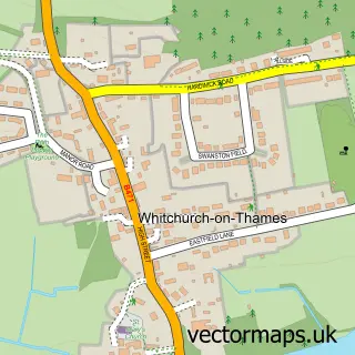
Nearby street map samples around Woodcote

More street maps in Oxfordshire
750 metre map area coverage
Boundary, postcode and point of interest information for the 750m x 750m rectangle centred on this sample map.
Boundaries containing map centre
Constituency: Henley and Thame Co Const
County: Oxfordshire County
District: South Oxfordshire District
Icb: NHS Thames Valley ICB
Parish: Woodcote CP
Police Force: thames valley
Postcode District: RG8
Postcode Sector: RG8 0
Ward: Woodcote & Rotherfield Ward
Nearby boundaries intersecting sample
Postcode Sector: RG8 7
Postcode coverage
POI category counts
Doctor: 3
Electrician: 3
Automotive Repair: 2
Building Supply Store: 2
Fish And Chips Restaurant: 2
Package Locker: 2
Alternative Medicine: 1
Anglican Church: 1
Arts And Entertainment: 1
Barber: 1
Sample points of interest
- Anne Marie - Curative Hypnotherapist
- St. Leonard's, Woodcote
- Woodcote
- R G Car Paint Dent & Mechanical Repairs
- RG Autobody Smart and Mechanical Repairs
- 05 barber's
- Kimberley's Hair Studio
- Ina’s Brow & Beauty Studio - woodcote
- Bouchier Fencing Ltd
- Shires Scaffolding
- ZipCall
- Intaglio
Create a larger editable map of Woodcote
This sample shows only a 750 metre area. To create a larger map of Woodcote, use our map builder to choose your own coverage area, add titles and download editable SVG, PDF and PNG files.
Create a custom map of Woodcote