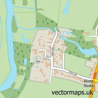
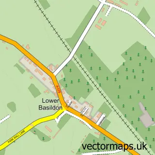
This South Stoke street map is a detailed vector street map covering a 750m x 750m area. Select a larger area to create and download your own vector street map of South Stoke.
The 750-metre map sample for South Stoke covers 211 mapped buildings and approximately 12.2 km of road detail, of which 9 named roads are named. The immediate area includes 1 school and 1 pub. The wider area around South Stoke features 1 tourism point of interest and 1 food and drink venue. To create a larger or custom map of South Stoke, the map builder lets you define your own coverage area and download editable SVG, PDF and PNG files.
Create a larger editable map of South Stoke
Choose any area you need and generate a high-quality vector map instantly. Perfect for print, planning, design, business and personal use.

This South Stoke street map in Oxfordshire is available as downloadable SVG, PDF and PNG map files, or as a printed map for planning, business, display, education, local information and design work. You can also create a larger custom map area using the map selector.
What this South Stoke map sample shows
South Stoke lies within South Stoke Cp parish, part of Goring ward in the South Oxfordshire District local authority area. The postcode geography for this area includes the RG postcode area, the RG8 postcode district and the RG8 0 postcode sector. Residents fall under the Nhs Buckinghamshire, Oxfordshire And Berkshire West Integrated Care Board for NHS services.
Local features near South Stoke
Within 2 milesAmenities and services in and around South Stoke.
Administrative and postcode information for South Stoke
The local authority covering South Stoke is South Oxfordshire District, within the county of Oxfordshire. The settlement lies within Goring ward and South Stoke Cp civil parish. The RG8 postcode district and RG8 0 postcode sector serve the immediate area. NHS provision in the area is delivered through Oxford University Hospitals Nhs Foundation Trust.
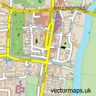
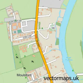
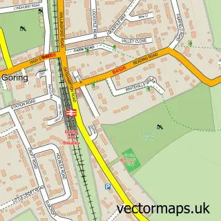
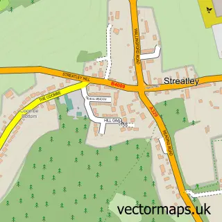
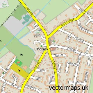
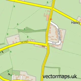
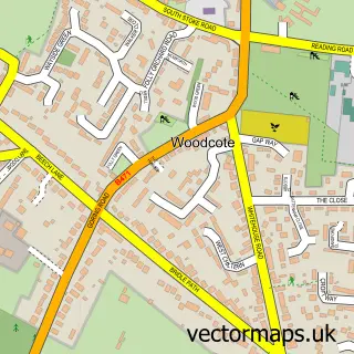
Nearby street map samples around South Stoke

More street maps in Oxfordshire
750 metre map area coverage
Boundary, postcode and point of interest information for the 750m x 750m rectangle centred on this sample map.
Boundaries containing map centre
Constituency: Henley and Thame Co Const
County: Oxfordshire County
District: South Oxfordshire District
Icb: NHS Thames Valley ICB
Parish: South Stoke CP
Police Force: thames valley
Postcode District: RG8
Postcode Sector: RG8 0
Ward: Goring Ward
Nearby boundaries intersecting sample
Constituency: Didcot and Wantage Co Const
Parish: Moulsford CP
Ward: Cholsey Ward
Postcode coverage
POI category counts
Dog Trainer: 2
Anglican Church: 1
Automotive Repair: 1
Bar: 1
Building Supply Store: 1
Business: 1
Chimney Sweep: 1
Church Cathedral: 1
Community Services Non Profits: 1
Courier And Delivery Services: 1
Sample points of interest
- St Andrew's Church
- SJB Auto Repairs
- Beer Counter
- MySurface Solutions
- C & a Training
- T. D. Lancaster Chimney Sweep
- South Stoke Church
- South Stoke Community Garden
- Evri ParcelShop
- Top Dog Behaviourist
- Top Dog Behaviourist
- Oxfordshire County Council
Create a larger editable map of South Stoke
This sample shows only a 750 metre area. To create a larger map of South Stoke, use our map builder to choose your own coverage area, add titles and download editable SVG, PDF and PNG files.
Create a custom map of South Stoke