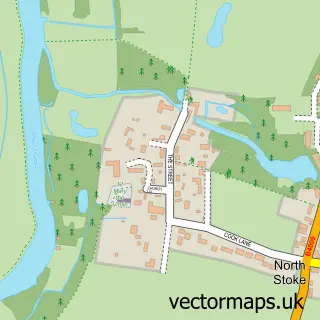
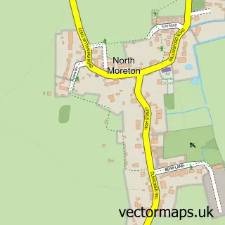
This Cholsey street map is a detailed vector street map covering a 750m x 750m area. Select a larger area to create and download your own vector street map of Cholsey.
The 750-metre map sample for Cholsey covers 455 mapped buildings and approximately 13.5 km of road detail, of which 33 named roads are named. The immediate area includes 2 schools, 1 GP surgery within 2 miles, 2 pubs and 2 MOT stations within 2 miles. The wider area around Cholsey features 4 food and drink venues and 1 hotel. To create a larger or custom map of Cholsey, the map builder lets you define your own coverage area and download editable SVG, PDF and PNG files.
Create a larger editable map of Cholsey
Choose any area you need and generate a high-quality vector map instantly. Perfect for print, planning, design, business and personal use.

This Cholsey street map in Oxfordshire is available as downloadable SVG, PDF and PNG map files, or as a printed map for planning, business, display, education, local information and design work. You can also create a larger custom map area using the map selector.
What this Cholsey map sample shows
Cholsey lies within Cholsey Cp parish, part of Cholsey ward in the South Oxfordshire District local authority area. The postcode geography for this area includes the OX postcode area, the OX10 postcode district and the OX10 9 postcode sector. Residents fall under the Nhs Buckinghamshire, Oxfordshire And Berkshire West Integrated Care Board for NHS services.
Local features near Cholsey
Within 2 milesAmenities and services in and around Cholsey.
Administrative and postcode information for Cholsey
Cholsey lies within Cholsey Cp parish, part of Cholsey ward in the South Oxfordshire District local authority area. The postcode geography for this area includes the OX postcode area, the OX10 postcode district and the OX10 9 postcode sector. Residents fall under the Nhs Buckinghamshire, Oxfordshire And Berkshire West Integrated Care Board for NHS services.
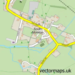
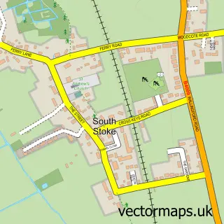
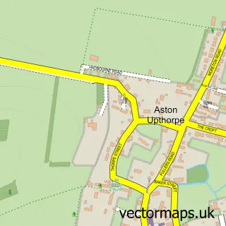
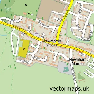
Nearby street map samples around Cholsey

More street maps in Oxfordshire
750 metre map area coverage
Boundary, postcode and point of interest information for the 750m x 750m rectangle centred on this sample map.
Boundaries containing map centre
Constituency: Didcot and Wantage Co Const
County: Oxfordshire County
District: South Oxfordshire District
Icb: NHS Thames Valley ICB
Parish: Cholsey CP
Police Force: thames valley
Postcode District: OX10
Postcode Sector: OX10 9
Ward: Cholsey Ward
Nearby boundaries intersecting sample
No additional intersecting boundaries found.
Postcode coverage
POI category counts
Telecommunications: 5
Acupuncture: 3
Preschool: 3
Building Supply Store: 2
Cooking School: 2
Corporate Entertainment Services: 2
Elementary School: 2
Hair Salon: 2
Library: 2
Pharmacy: 2
Sample points of interest
- Frances Turner
- Susannah Fone Acupuncture
- Susannah Fone Acupuncture
- The Art of Connection
- DK House Cholsey
- The Four Teas Cafe
- E.D.I
- Wheelers
- Painless Business
- Mr and Mrs Park's Family Butchers
- Heather's Café
- JH Loft Insulation/Loft Floors
Create a larger editable map of Cholsey
This sample shows only a 750 metre area. To create a larger map of Cholsey, use our map builder to choose your own coverage area, add titles and download editable SVG, PDF and PNG files.
Create a custom map of Cholsey