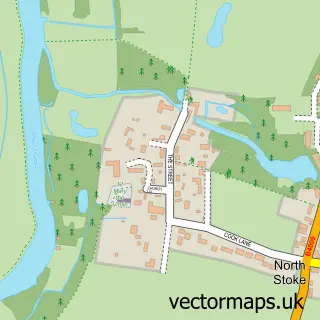
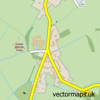
This Crowmarsh Gifford street map is a detailed vector street map covering a 750m x 750m area. Select a larger area to create and download your own vector street map of Crowmarsh Gifford.
The 750-metre map sample for Crowmarsh Gifford covers 264 mapped buildings and approximately 10.2 km of road detail, of which 13 named roads are named. The immediate area includes 1 school, 2 GP surgeries within 2 miles, 2 pubs and 5 MOT stations within 2 miles. The wider area around Crowmarsh Gifford features 2 tourism points of interest, 2 food and drink venues and 2 campsites within 2 miles. To create a larger or custom map of Crowmarsh Gifford, the map builder lets you define your own coverage area and download editable SVG, PDF and PNG files.
Create a larger editable map of Crowmarsh Gifford
Choose any area you need and generate a high-quality vector map instantly. Perfect for print, planning, design, business and personal use.

This Crowmarsh Gifford street map in Oxfordshire is available as downloadable SVG, PDF and PNG map files, or as a printed map for planning, business, display, education, local information and design work. You can also create a larger custom map area using the map selector.
What this Crowmarsh Gifford map sample shows
Crowmarsh Gifford lies within Crowmarsh Cp parish, part of Benson & Crowmarsh ward in the South Oxfordshire District local authority area. The postcode geography for this area includes the OX postcode area, the OX10 postcode district and the OX10 8 postcode sector. Residents fall under the Nhs Buckinghamshire, Oxfordshire And Berkshire West Integrated Care Board for NHS services.
Local features near Crowmarsh Gifford
Within 2 milesAmenities and services in and around Crowmarsh Gifford.
Administrative and postcode information for Crowmarsh Gifford
Crowmarsh Gifford lies within Crowmarsh Cp parish, part of Benson & Crowmarsh ward in the South Oxfordshire District local authority area. The postcode geography for this area includes the OX postcode area, the OX10 postcode district and the OX10 8 postcode sector. Residents fall under the Nhs Buckinghamshire, Oxfordshire And Berkshire West Integrated Care Board for NHS services.
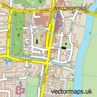
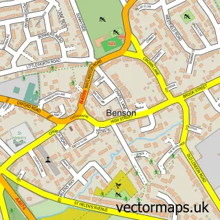
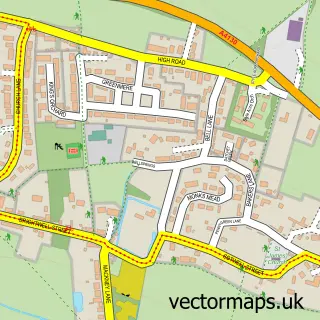
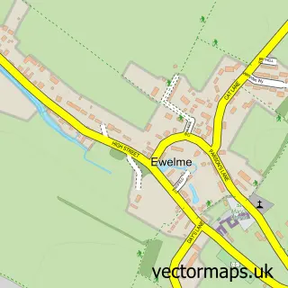
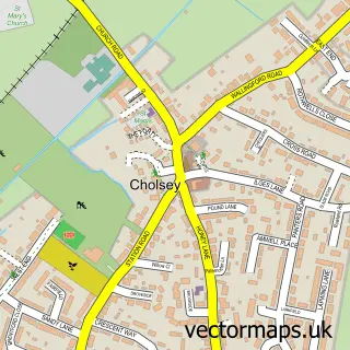
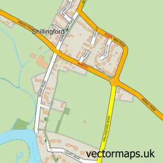
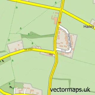
Nearby street map samples around Crowmarsh Gifford

More street maps in Oxfordshire
750 metre map area coverage
Boundary, postcode and point of interest information for the 750m x 750m rectangle centred on this sample map.
Boundaries containing map centre
Constituency: Henley and Thame Co Const
County: Oxfordshire County
District: South Oxfordshire District
Icb: NHS Thames Valley ICB
Parish: Crowmarsh CP
Police Force: thames valley
Postcode District: OX10
Postcode Sector: OX10 8
Ward: Benson & Crowmarsh Ward
Nearby boundaries intersecting sample
Constituency: Didcot and Wantage Co Const
Parish: Wallingford CP
Ward: Wallingford Ward
Postcode coverage
POI category counts
Building Supply Store: 3
Elementary School: 2
Pub: 2
Telecommunications: 2
Active Life: 1
Alternative Medicine: 1
Anglican Church: 1
Bar: 1
Beauty Salon: 1
Business Consulting: 1
Sample points of interest
- Riverside Park And Pools Wallingford
- Tom Morgan
- Crowmarsh Gifford: St Mary Magdalene
- Crowmarsh Jazz
- Natural Beauty
- Advanced Pest Control
- G a Electrical Contractors
- Jewson Wallingford
- Virtual Secretary Services Direct
- Viney Associates
- Bridge Villa Camping and Caravan Park
- Mctimoney Chiropractic Association
Create a larger editable map of Crowmarsh Gifford
This sample shows only a 750 metre area. To create a larger map of Crowmarsh Gifford, use our map builder to choose your own coverage area, add titles and download editable SVG, PDF and PNG files.
Create a custom map of Crowmarsh Gifford