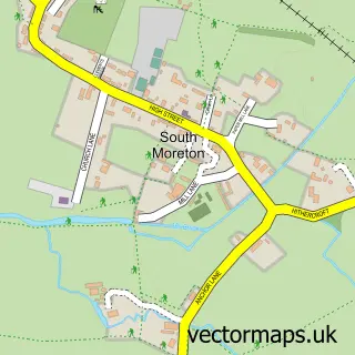
This Brightwell-cum-Sotwell street map is a detailed vector street map covering a 750m x 750m area. Select a larger area to create and download your own vector street map of Brightwell-cum-Sotwell.
The 750-metre map sample for Brightwell-cum-Sotwell covers 318 mapped buildings and approximately 13.4 km of road detail, of which 13 named roads are named. The immediate area includes 1 school, 1 GP surgery within 2 miles, 1 pub and 1 MOT station, with 5 within 2 miles. The wider area around Brightwell-cum-Sotwell features 1 food and drink venue and 2 campsites within 2 miles. To create a larger or custom map of Brightwell-cum-Sotwell, the map builder lets you define your own coverage area and download editable SVG, PDF and PNG files.
Create a larger editable map of Brightwell-cum-Sotwell
Choose any area you need and generate a high-quality vector map instantly. Perfect for print, planning, design, business and personal use.

This Brightwell-cum-Sotwell street map in Oxfordshire is available as downloadable SVG, PDF and PNG map files, or as a printed map for planning, business, display, education, local information and design work. You can also create a larger custom map area using the map selector.
What this Brightwell-cum-Sotwell map sample shows
Brightwell-cum-Sotwell lies within Brightwell-Cum-Sotwell Cp parish, part of Cholsey ward in the South Oxfordshire District local authority area. The postcode geography for this area includes the OX postcode area, the OX10 postcode district and the OX10 0 postcode sector. Residents fall under the Nhs Buckinghamshire, Oxfordshire And Berkshire West Integrated Care Board for NHS services.
Local features near Brightwell-cum-Sotwell
Within 2 milesAmenities and services in and around Brightwell-cum-Sotwell.
Administrative and postcode information for Brightwell-cum-Sotwell
The local authority covering Brightwell-cum-Sotwell is South Oxfordshire District, within the county of Oxfordshire. The settlement lies within Cholsey ward and Brightwell-Cum-Sotwell Cp civil parish. The OX10 postcode district and OX10 0 postcode sector serve the immediate area. NHS provision in the area is delivered through Oxford University Hospitals Nhs Foundation Trust.
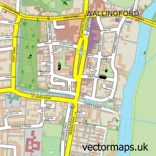
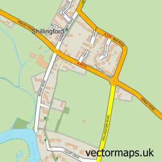
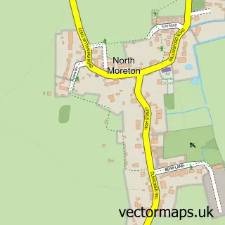
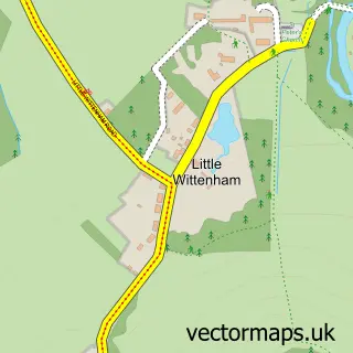
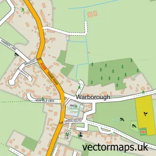
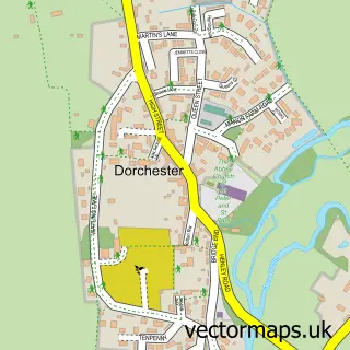
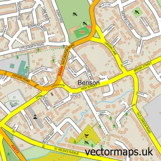
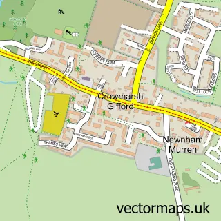
Nearby street map samples around Brightwell-cum-Sotwell

More street maps in Oxfordshire
750 metre map area coverage
Boundary, postcode and point of interest information for the 750m x 750m rectangle centred on this sample map.
Boundaries containing map centre
Constituency: Didcot and Wantage Co Const
County: Oxfordshire County
District: South Oxfordshire District
Icb: NHS Thames Valley ICB
Parish: Brightwell-cum-Sotwell CP
Police Force: thames valley
Postcode District: OX10
Postcode Sector: OX10 0
Ward: Cholsey Ward
Nearby boundaries intersecting sample
No additional intersecting boundaries found.
Postcode coverage
POI category counts
Automotive Repair: 2
Beauty Salon: 2
Alternative Medicine: 1
Amateur Sports Team: 1
Anglican Church: 1
Bridal Shop: 1
Business Consulting: 1
Elementary School: 1
Graphic Designer: 1
Hvac Supplier: 1
Sample points of interest
- Bach Centre
- Brightwell cum Sotwell Cricket Club
- Sotwell: St James
- Bell Garage
- Brightwell Garage Limited
- The Natural Beauty Rooms
- U beauty
- Slice-cakes
- Windsor Business Solutions
- Brightwell Primary School
- Creative Haus
- A J Prior Plumbing And Heating
Create a larger editable map of Brightwell-cum-Sotwell
This sample shows only a 750 metre area. To create a larger map of Brightwell-cum-Sotwell, use our map builder to choose your own coverage area, add titles and download editable SVG, PDF and PNG files.
Create a custom map of Brightwell-cum-Sotwell