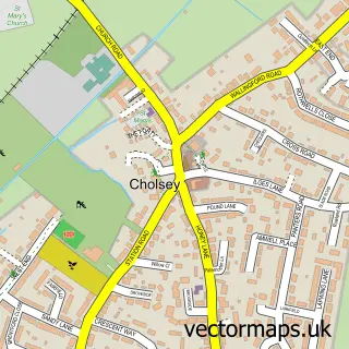
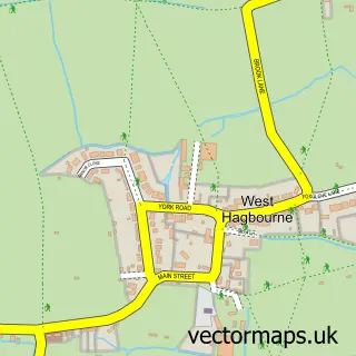
This South Moreton street map is a detailed vector street map covering a 750m x 750m area. Select a larger area to create and download your own vector street map of South Moreton.
The 750-metre map sample for South Moreton covers 137 mapped buildings and approximately 6.4 km of road detail, of which 12 named roads are named. The immediate area includes 1 school, 1 pub and 3 MOT stations within 2 miles. The wider area around South Moreton features 1 tourism point of interest, 1 food and drink venue and 1 campsite within 2 miles. To create a larger or custom map of South Moreton, the map builder lets you define your own coverage area and download editable SVG, PDF and PNG files.
Create a larger editable map of South Moreton
Choose any area you need and generate a high-quality vector map instantly. Perfect for print, planning, design, business and personal use.

This South Moreton street map in Oxfordshire is available as downloadable SVG, PDF and PNG map files, or as a printed map for planning, business, display, education, local information and design work. You can also create a larger custom map area using the map selector.
What this South Moreton map sample shows
South Moreton lies within South Moreton Cp parish, part of Cholsey ward in the South Oxfordshire District local authority area. The postcode geography for this area includes the OX postcode area, the OX11 postcode district and the OX11 9 postcode sector. Residents fall under the Nhs Buckinghamshire, Oxfordshire And Berkshire West Integrated Care Board for NHS services.
Local features near South Moreton
Within 2 milesAmenities and services in and around South Moreton.
Administrative and postcode information for South Moreton
The local authority covering South Moreton is South Oxfordshire District, within the county of Oxfordshire. The settlement lies within Cholsey ward and South Moreton Cp civil parish. The OX11 postcode district and OX11 9 postcode sector serve the immediate area. NHS provision in the area is delivered through Oxford University Hospitals Nhs Foundation Trust.
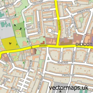
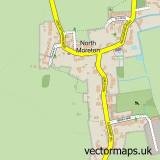
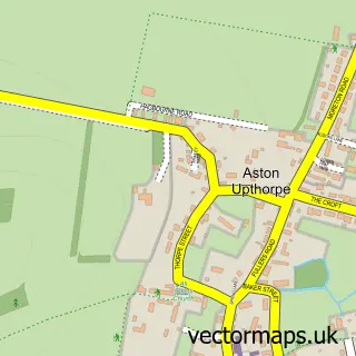
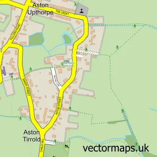
Nearby street map samples around South Moreton

More street maps in Oxfordshire
750 metre map area coverage
Boundary, postcode and point of interest information for the 750m x 750m rectangle centred on this sample map.
Boundaries containing map centre
Constituency: Didcot and Wantage Co Const
County: Oxfordshire County
District: South Oxfordshire District
Icb: NHS Thames Valley ICB
Parish: South Moreton CP
Police Force: thames valley
Postcode District: OX11
Postcode Sector: OX11 9
Ward: Cholsey Ward
Nearby boundaries intersecting sample
Parish: Aston Tirrold CP, Aston Upthorpe CP, North Moreton CP
Postcode coverage
POI category counts
Church Cathedral: 2
Anglican Church: 1
Cleaning Services: 1
Elementary School: 1
Food Safety Training: 1
Landmark And Historical Building: 1
Martial Arts Club: 1
Pub: 1
Roofing: 1
Sports Club And League: 1
Sample points of interest
- St John the Baptist's Church, South Moreton
- South Moreton Church
- St John the Baptist C of E Church
- Extreme Environmental Services
- South Moreton Primary School
- Celebration Cakes
- South Moreton Castle
- Performance Jiu-Jitsu
- The Crown
- Bev Fowler Master Thatcher
- South Moreton Boxing Club
- Latin Odyssey
Create a larger editable map of South Moreton
This sample shows only a 750 metre area. To create a larger map of South Moreton, use our map builder to choose your own coverage area, add titles and download editable SVG, PDF and PNG files.
Create a custom map of South Moreton