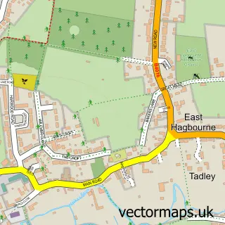
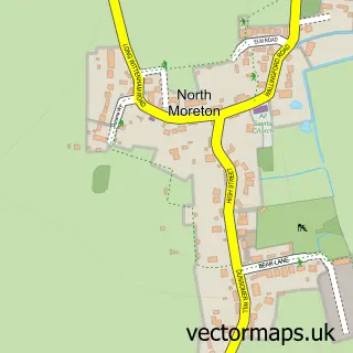
This Blewbury street map is a detailed vector street map covering a 750m x 750m area. Select a larger area to create and download your own vector street map of Blewbury.
The 750-metre map sample for Blewbury covers 309 mapped buildings and approximately 13.6 km of road detail, of which 14 named roads are named. The immediate area includes 1 school, 4 pubs and 3 MOT stations within 2 miles. The wider area around Blewbury features 1 tourism point of interest, 5 food and drink venues and 1 hotel. To create a larger or custom map of Blewbury, the map builder lets you define your own coverage area and download editable SVG, PDF and PNG files.
Create a larger editable map of Blewbury
Choose any area you need and generate a high-quality vector map instantly. Perfect for print, planning, design, business and personal use.

This Blewbury street map in Oxfordshire is available as downloadable SVG, PDF and PNG map files, or as a printed map for planning, business, display, education, local information and design work. You can also create a larger custom map area using the map selector.
What this Blewbury map sample shows
Blewbury lies within Blewbury Cp parish, part of Blewbury & Harwell ward in the Vale Of White Horse District local authority area. The postcode geography for this area includes the OX postcode area, the OX11 postcode district and the OX11 9 postcode sector. Residents fall under the Nhs Buckinghamshire, Oxfordshire And Berkshire West Integrated Care Board for NHS services.
Local features near Blewbury
Within 2 milesAmenities and services in and around Blewbury.
Administrative and postcode information for Blewbury
Blewbury lies within Blewbury Cp parish, part of Blewbury & Harwell ward in the Vale Of White Horse District local authority area. The postcode geography for this area includes the OX postcode area, the OX11 postcode district and the OX11 9 postcode sector. Residents fall under the Nhs Buckinghamshire, Oxfordshire And Berkshire West Integrated Care Board for NHS services.
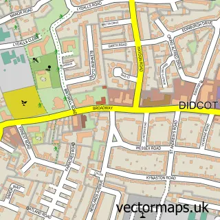
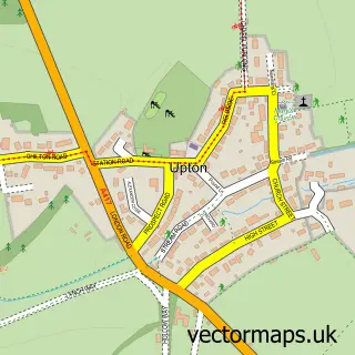
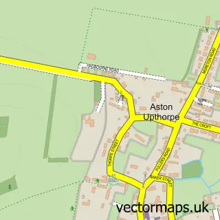
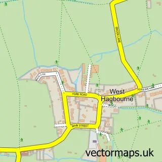
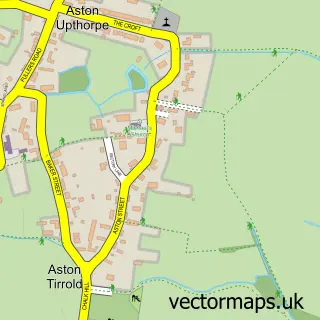
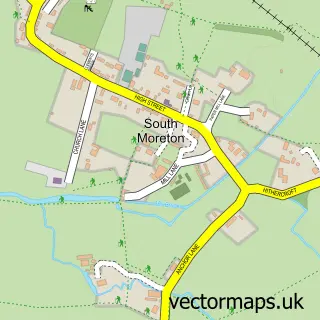
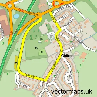
Nearby street map samples around Blewbury

More street maps in Oxfordshire
750 metre map area coverage
Boundary, postcode and point of interest information for the 750m x 750m rectangle centred on this sample map.
Boundaries containing map centre
Constituency: Didcot and Wantage Co Const
County: Oxfordshire County
District: Vale of White Horse District
Icb: NHS Thames Valley ICB
Parish: Blewbury CP
Police Force: thames valley
Postcode District: OX11
Postcode Sector: OX11 9
Ward: Blewbury & Harwell Ward
Nearby boundaries intersecting sample
No additional intersecting boundaries found.
Postcode coverage
POI category counts
Pub: 4
Elementary School: 2
Accountant: 1
Anglican Church: 1
Attractions And Activities: 1
Auto Loan Provider: 1
Automation Services: 1
Bakery: 1
Building Supply Store: 1
Business Consulting: 1
Sample points of interest
- Wise Owl Accountants Ltd.
- St Michael & All Angels
- Tickers Folly Field
- Mortgage Id
- Sensor Consultants
- The Blewbury Bread Co.
- Well Grounded Gardens
- Step Off
- BWH Legal
- The Churn Benefice
- Style Acre Tea Rooms
- Blewbury Village Hall
Create a larger editable map of Blewbury
This sample shows only a 750 metre area. To create a larger map of Blewbury, use our map builder to choose your own coverage area, add titles and download editable SVG, PDF and PNG files.
Create a custom map of Blewbury