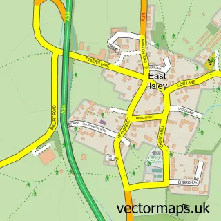
This Chilton street map is a detailed vector street map covering a 750m x 750m area. Select a larger area to create and download your own vector street map of Chilton.
The 750-metre map sample for Chilton covers 242 mapped buildings and approximately 18.4 km of road detail, of which 20 named roads are named. The immediate area includes 2 pubs and 2 MOT stations within 2 miles. The wider area around Chilton features 1 tourism point of interest, 2 food and drink venues and 1 hotel. To create a larger or custom map of Chilton, the map builder lets you define your own coverage area and download editable SVG, PDF and PNG files.
Create a larger editable map of Chilton
Choose any area you need and generate a high-quality vector map instantly. Perfect for print, planning, design, business and personal use.

This Chilton street map in Oxfordshire is available as downloadable SVG, PDF and PNG map files, or as a printed map for planning, business, display, education, local information and design work. You can also create a larger custom map area using the map selector.
What this Chilton map sample shows
Chilton lies within Chilton Cp parish, part of Blewbury & Harwell ward in the Vale Of White Horse District local authority area. The postcode geography for this area includes the OX postcode area, the OX11 postcode district and the OX11 0 postcode sector. Residents fall under the Nhs Buckinghamshire, Oxfordshire And Berkshire West Integrated Care Board for NHS services.
Local features near Chilton
Within 2 milesAmenities and services in and around Chilton.
Administrative and postcode information for Chilton
The local authority covering Chilton is Vale Of White Horse District, within the county of Oxfordshire. The settlement lies within Blewbury & Harwell ward and Chilton Cp civil parish. The OX11 postcode district and OX11 0 postcode sector serve the immediate area. NHS provision in the area is delivered through Oxford University Hospitals Nhs Foundation Trust.
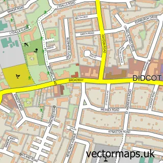
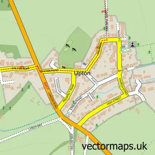
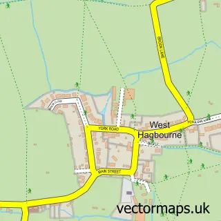
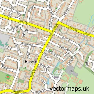
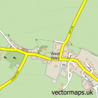
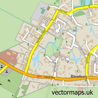
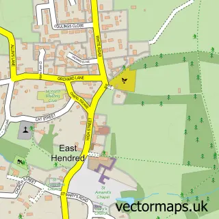
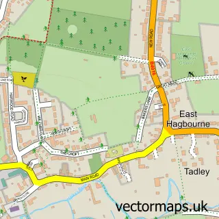
Nearby street map samples around Chilton

More street maps in Oxfordshire
750 metre map area coverage
Boundary, postcode and point of interest information for the 750m x 750m rectangle centred on this sample map.
Boundaries containing map centre
Constituency: Didcot and Wantage Co Const
County: Oxfordshire County
District: Vale of White Horse District
Icb: NHS Thames Valley ICB
Parish: Chilton CP
Police Force: thames valley
Postcode District: OX11
Postcode Sector: OX11 0
Ward: Blewbury & Harwell Ward
Nearby boundaries intersecting sample
No additional intersecting boundaries found.
Postcode coverage
POI category counts
Pub: 2
Scout Hall: 2
Anglican Church: 1
Animal Shelter: 1
Antique Store: 1
Assisted Living Facility: 1
British Restaurant: 1
Building Supply Store: 1
Business Management Services: 1
Carpenter: 1
Sample points of interest
- Chilton All Saints
- Willow Farm RSPCA Centre
- Country Markets Antiques Within Chilton Garden Centre
- Allied Care
- Gardener's Retreat
- Admiral Conservatories
- Horticultural Trades Association
- Peerless Joinery and Carpentry
- All Saints Church
- Chilton Village Hall
- NACE
- Oxford Bloom
Create a larger editable map of Chilton
This sample shows only a 750 metre area. To create a larger map of Chilton, use our map builder to choose your own coverage area, add titles and download editable SVG, PDF and PNG files.
Create a custom map of Chilton