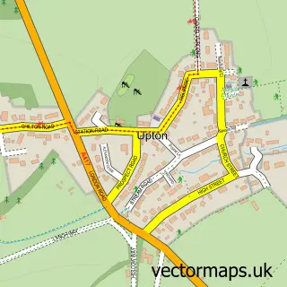
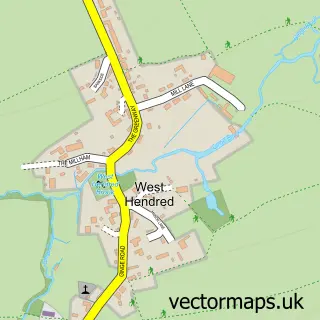
This Harwell street map is a detailed vector street map covering a 750m x 750m area. Select a larger area to create and download your own vector street map of Harwell.
The 750-metre map sample for Harwell covers 623 mapped buildings and approximately 18.3 km of road detail, of which 37 named roads are named. The immediate area includes 2 GP surgeries within 2 miles, 2 pubs and 1 MOT station, with 7 within 2 miles. The wider area around Harwell features 1 tourism point of interest and 3 food and drink venues. To create a larger or custom map of Harwell, the map builder lets you define your own coverage area and download editable SVG, PDF and PNG files.
Create a larger editable map of Harwell
Choose any area you need and generate a high-quality vector map instantly. Perfect for print, planning, design, business and personal use.

This Harwell street map in Oxfordshire is available as downloadable SVG, PDF and PNG map files, or as a printed map for planning, business, display, education, local information and design work. You can also create a larger custom map area using the map selector.
What this Harwell map sample shows
Harwell lies within Harwell Cp parish, part of Blewbury & Harwell ward in the Vale Of White Horse District local authority area. The postcode geography for this area includes the OX postcode area, the OX11 postcode district and the OX11 0 postcode sector. Residents fall under the Nhs Buckinghamshire, Oxfordshire And Berkshire West Integrated Care Board for NHS services.
Local features near Harwell
Within 2 milesAmenities and services in and around Harwell.
Administrative and postcode information for Harwell
Harwell lies within Harwell Cp parish, part of Blewbury & Harwell ward in the Vale Of White Horse District local authority area. The postcode geography for this area includes the OX postcode area, the OX11 postcode district and the OX11 0 postcode sector. Residents fall under the Nhs Buckinghamshire, Oxfordshire And Berkshire West Integrated Care Board for NHS services.
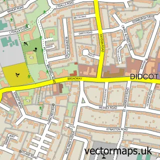
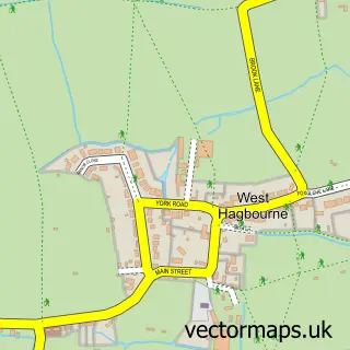
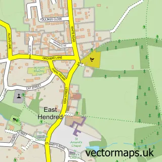
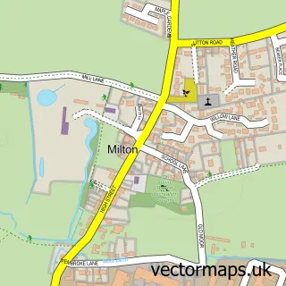
Nearby street map samples around Harwell

More street maps in Oxfordshire
750 metre map area coverage
Boundary, postcode and point of interest information for the 750m x 750m rectangle centred on this sample map.
Boundaries containing map centre
Constituency: Didcot and Wantage Co Const
County: Oxfordshire County
District: Vale of White Horse District
Icb: NHS Thames Valley ICB
Parish: Harwell CP
Police Force: thames valley
Postcode District: OX11
Postcode Sector: OX11 0
Ward: Blewbury & Harwell Ward
Nearby boundaries intersecting sample
No additional intersecting boundaries found.
Postcode coverage
POI category counts
Professional Services: 3
Assisted Living Facility: 2
Butcher Shop: 2
Church Cathedral: 2
Pub: 2
Accountant: 1
Advertising Agency: 1
Anglican Church: 1
Architectural Designer: 1
Art Restoration Service: 1
Sample points of interest
- Business Garage Local
- Mistral PR
- Harwell St Matthew
- Db Architecture
- Dovetail Restoration Country Chairmen
- RIP UK
- Cherry Tree Court
- Orchard House Neurological Rehabilitation Centre
- MPH Motor Engineers
- Pelvic Partnership
- The Harwellian
- Elem Didcot
Create a larger editable map of Harwell
This sample shows only a 750 metre area. To create a larger map of Harwell, use our map builder to choose your own coverage area, add titles and download editable SVG, PDF and PNG files.
Create a custom map of Harwell