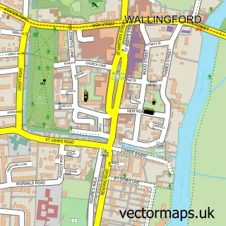
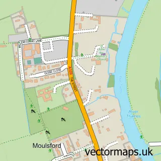
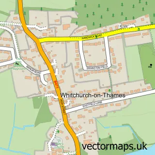
This Goring-on-Thames street map is a detailed vector street map covering a 750m x 750m area. Select a larger area to create and download your own vector street map of Goring-on-Thames.
The 750-metre map sample for Goring-on-Thames covers 374 mapped buildings and approximately 12.5 km of road detail, of which 25 named roads are named. The immediate area includes 1 railway station. The wider area around Goring-on-Thames features 1 tourism point of interest and 1 food and drink venue. To create a larger or custom map of Goring-on-Thames, the map builder lets you define your own coverage area and download editable SVG, PDF and PNG files.
Create a larger editable map of Goring-on-Thames
Choose any area you need and generate a high-quality vector map instantly. Perfect for print, planning, design, business and personal use.

This Goring-on-Thames street map in Oxfordshire is available as downloadable SVG, PDF and PNG map files, or as a printed map for planning, business, display, education, local information and design work. You can also create a larger custom map area using the map selector.
What this Goring-on-Thames map sample shows
Goring-on-Thames lies within Goring-On-Thames Cp parish, part of Goring ward in the South Oxfordshire District local authority area. The postcode geography for this area includes the RG postcode area, the RG8 postcode district and the RG8 0 postcode sector. Residents fall under the Nhs Buckinghamshire, Oxfordshire And Berkshire West Integrated Care Board for NHS services.
Local features near Goring-on-Thames
Within 2 milesAmenities and services in and around Goring-on-Thames.
Administrative and postcode information for Goring-on-Thames
Goring-on-Thames lies within Goring-On-Thames Cp parish, part of Goring ward in the South Oxfordshire District local authority area. The postcode geography for this area includes the RG postcode area, the RG8 postcode district and the RG8 0 postcode sector. Residents fall under the Nhs Buckinghamshire, Oxfordshire And Berkshire West Integrated Care Board for NHS services.
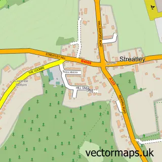
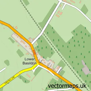
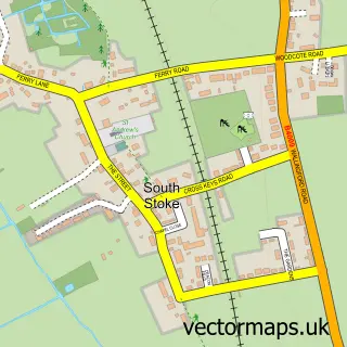
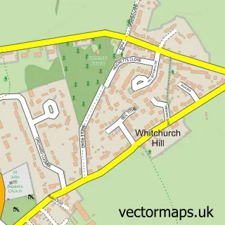
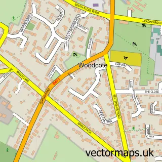
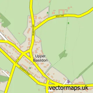
Nearby street map samples around Goring-on-Thames

More street maps in Oxfordshire
750 metre map area coverage
Boundary, postcode and point of interest information for the 750m x 750m rectangle centred on this sample map.
Boundaries containing map centre
Constituency: Henley and Thame Co Const
County: Oxfordshire County
District: South Oxfordshire District
Icb: NHS Thames Valley ICB
Parish: Goring-on-Thames CP
Police Force: thames valley
Postcode District: RG8
Postcode Sector: RG8 0
Ward: Goring Ward
Nearby boundaries intersecting sample
Postcode Sector: RG8 9
Postcode coverage
POI category counts
Doctor: 4
Butcher Shop: 2
Parking: 2
Arts And Crafts: 1
Asian Restaurant: 1
Bridal Shop: 1
Business Management Services: 1
Business Office Supplies And Stationery: 1
Charity Organization: 1
Chemical Plant: 1
Sample points of interest
- Inspirations Craftgiraffe
- Chef King Oriental Restaurant
- Nicole Mae's Bridal
- The HR Department
- Solica Consulting
- Goring Village Butchers
- Goring Village Butchers
- The Hub by Q1 Foundation
- H Foster and Co
- Costa Express
- British Red Cross
- Tesco Express
Create a larger editable map of Goring-on-Thames
This sample shows only a 750 metre area. To create a larger map of Goring-on-Thames, use our map builder to choose your own coverage area, add titles and download editable SVG, PDF and PNG files.
Create a custom map of Goring-on-Thames