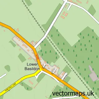
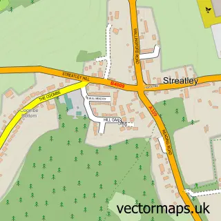
This Upper Basildon street map is a detailed vector street map covering a 750m x 750m area. Select a larger area to create and download your own vector street map of Upper Basildon.
The 750-metre map sample for Upper Basildon covers 167 mapped buildings and approximately 11.0 km of road detail, of which 8 named roads are named. The immediate area includes 1 pub and 1 MOT station within 2 miles. The wider area around Upper Basildon features 1 food and drink venue. To create a larger or custom map of Upper Basildon, the map builder lets you define your own coverage area and download editable SVG, PDF and PNG files.
Create a larger editable map of Upper Basildon
Choose any area you need and generate a high-quality vector map instantly. Perfect for print, planning, design, business and personal use.

This Upper Basildon street map in Berkshire is available as downloadable SVG, PDF and PNG map files, or as a printed map for planning, business, display, education, local information and design work. You can also create a larger custom map area using the map selector.
What this Upper Basildon map sample shows
Upper Basildon lies within Basildon Cp parish, part of Basildon ward in the West Berkshire local authority area. The postcode geography for this area includes the RG postcode area, the RG8 postcode district and the RG8 8 postcode sector. Residents fall under the Nhs Buckinghamshire, Oxfordshire And Berkshire West Integrated Care Board for NHS services.
Local features near Upper Basildon
Within 2 milesAmenities and services in and around Upper Basildon.
Administrative and postcode information for Upper Basildon
Upper Basildon lies within Basildon Cp parish, part of Basildon ward in the West Berkshire local authority area. The postcode geography for this area includes the RG postcode area, the RG8 postcode district and the RG8 8 postcode sector. Residents fall under the Nhs Buckinghamshire, Oxfordshire And Berkshire West Integrated Care Board for NHS services.
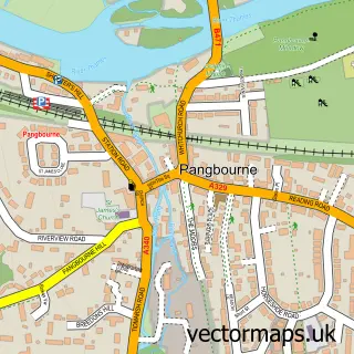
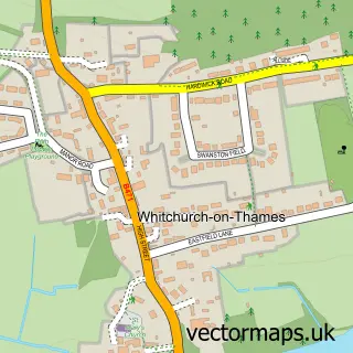
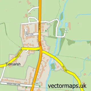
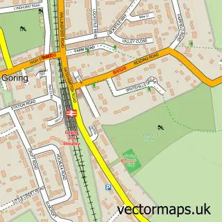
Nearby street map samples around Upper Basildon

More street maps in Berkshire
750 metre map area coverage
Boundary, postcode and point of interest information for the 750m x 750m rectangle centred on this sample map.
Boundaries containing map centre
Constituency: Reading West and Mid Berkshire Co Const
District: West Berkshire
Icb: NHS Thames Valley ICB
Parish: Basildon CP
Police Force: thames valley
Postcode District: RG8
Postcode Sector: RG8 8
Ward: Basildon Ward
Nearby boundaries intersecting sample
No additional intersecting boundaries found.
Postcode coverage
POI category counts
Business: 2
Alternative Medicine: 1
Anglican Church: 1
Business Consulting: 1
Car Dealer: 1
Naturopathic Holistic: 1
Photographer: 1
Post Office: 1
Professional Services: 1
Pub: 1
Sample points of interest
- Kelley Waters DO BSc Ost
- St Stephen's Upper Basildon
- Covase Fleet Management
- Xlteq
- Changesmith
- Covase
- The Orchard Clinic
- Shane Miller Photography
- Upper Basildon Post Office
- benocphotography
- Red Lion
- T I Motor Sport
Create a larger editable map of Upper Basildon
This sample shows only a 750 metre area. To create a larger map of Upper Basildon, use our map builder to choose your own coverage area, add titles and download editable SVG, PDF and PNG files.
Create a custom map of Upper Basildon