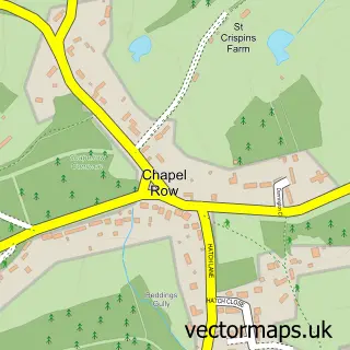
This Bradfield street map is a detailed vector street map covering a 750m x 750m area. Select a larger area to create and download your own vector street map of Bradfield.
The 750-metre map sample for Bradfield covers 91 mapped buildings and approximately 10.8 km of road detail, of which 3 named roads are named. The immediate area includes 1 school and 2 MOT stations within 2 miles. To create a larger or custom map of Bradfield, the map builder lets you define your own coverage area and download editable SVG, PDF and PNG files.
Create a larger editable map of Bradfield
Choose any area you need and generate a high-quality vector map instantly. Perfect for print, planning, design, business and personal use.

This Bradfield street map in Berkshire is available as downloadable SVG, PDF and PNG map files, or as a printed map for planning, business, display, education, local information and design work. You can also create a larger custom map area using the map selector.
What this Bradfield map sample shows
Bradfield lies within Bradfield Cp parish, part of Bradfield ward in the West Berkshire local authority area. The postcode geography for this area includes the RG postcode area, the RG7 postcode district and the RG7 6 postcode sector. Residents fall under the Nhs Buckinghamshire, Oxfordshire And Berkshire West Integrated Care Board for NHS services.
Local features near Bradfield
Within 2 milesAmenities and services in and around Bradfield.
Administrative and postcode information for Bradfield
The local authority covering Bradfield is West Berkshire, within the county of Berkshire. The settlement lies within Bradfield ward and Bradfield Cp civil parish. The RG7 postcode district and RG7 6 postcode sector serve the immediate area. NHS provision in the area is delivered through Royal Berkshire Nhs Foundation Trust.
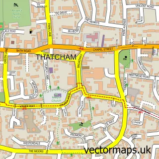
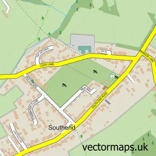
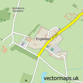
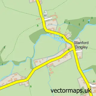
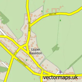
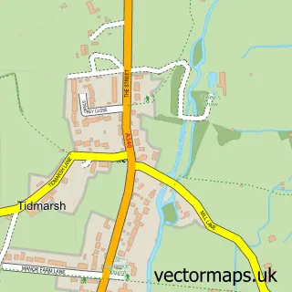
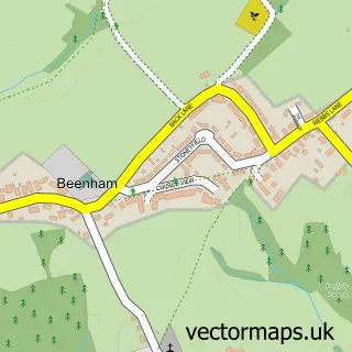
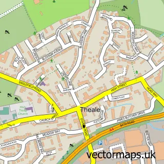
Nearby street map samples around Bradfield

More street maps in Berkshire
750 metre map area coverage
Boundary, postcode and point of interest information for the 750m x 750m rectangle centred on this sample map.
Boundaries containing map centre
Constituency: Reading West and Mid Berkshire Co Const
District: West Berkshire
Icb: NHS Thames Valley ICB
Parish: Bradfield CP
Police Force: thames valley
Postcode District: RG7
Postcode Sector: RG7 6
Ward: Bradfield Ward
Nearby boundaries intersecting sample
No additional intersecting boundaries found.
Postcode coverage
POI category counts
Arts And Crafts: 2
Event Planning: 2
Auto Restoration Services: 1
Beauty Salon: 1
Blacksmiths: 1
Carpet Cleaning: 1
College University: 1
Community Center: 1
Electronic Parts Supplier: 1
Flowers And Gifts Shop: 1
Sample points of interest
- Little Butterfly
- Purple Papillon Crafts
- The Old Tin Shed
- Reading Gates
- Tim Morgan
- Absolutely Fabulous Persian & Oriental Rug Cleaning
- Bradfield Ringing Course
- Bradfield Village Hall
- Arcum Ltd.
- Bradfield Weddings
- Hewins Wood Farm
- Green Parlour
Create a larger editable map of Bradfield
This sample shows only a 750 metre area. To create a larger map of Bradfield, use our map builder to choose your own coverage area, add titles and download editable SVG, PDF and PNG files.
Create a custom map of Bradfield