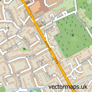
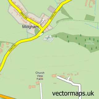
This Aldermaston street map is a detailed vector street map covering a 750m x 750m area. Select a larger area to create and download your own vector street map of Aldermaston.
The 750-metre map sample for Aldermaston covers 119 mapped buildings and approximately 11.3 km of road detail, of which 9 named roads are named. The immediate area includes 1 school, 1 GP surgery within 2 miles and 8 MOT stations within 2 miles. The wider area around Aldermaston features 2 food and drink venues and 3 hotels. To create a larger or custom map of Aldermaston, the map builder lets you define your own coverage area and download editable SVG, PDF and PNG files.
Create a larger editable map of Aldermaston
Choose any area you need and generate a high-quality vector map instantly. Perfect for print, planning, design, business and personal use.

This Aldermaston street map in Berkshire is available as downloadable SVG, PDF and PNG map files, or as a printed map for planning, business, display, education, local information and design work. You can also create a larger custom map area using the map selector.
What this Aldermaston map sample shows
Aldermaston lies within Aldermaston Cp parish, part of Aldermaston ward in the West Berkshire local authority area. The postcode geography for this area includes the RG postcode area, the RG7 postcode district and the RG7 4 postcode sector. Residents fall under the Nhs Buckinghamshire, Oxfordshire And Berkshire West Integrated Care Board for NHS services.
Local features near Aldermaston
Within 2 milesAmenities and services in and around Aldermaston.
Administrative and postcode information for Aldermaston
The local authority covering Aldermaston is West Berkshire, within the county of Berkshire. The settlement lies within Aldermaston ward and Aldermaston Cp civil parish. The RG7 postcode district and RG7 4 postcode sector serve the immediate area. NHS provision in the area is delivered through Royal Berkshire Nhs Foundation Trust.
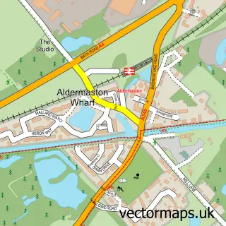
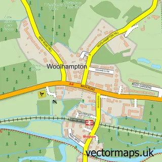
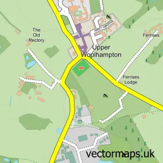
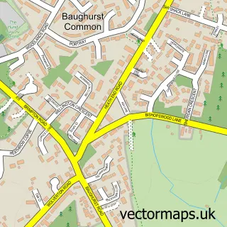
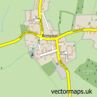
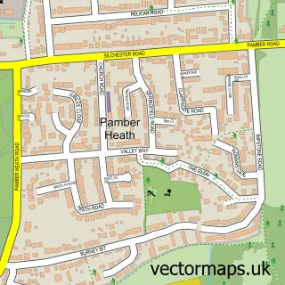
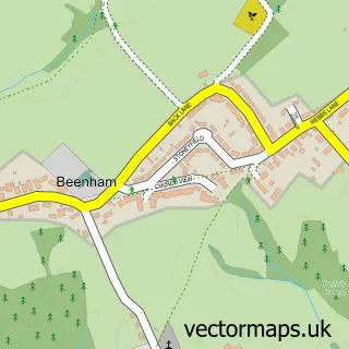
Nearby street map samples around Aldermaston

More street maps in Berkshire
750 metre map area coverage
Boundary, postcode and point of interest information for the 750m x 750m rectangle centred on this sample map.
Boundaries containing map centre
Constituency: Reading West and Mid Berkshire Co Const
District: West Berkshire
Icb: NHS Thames Valley ICB
Parish: Aldermaston CP
Police Force: thames valley
Postcode District: RG7
Postcode Sector: RG7 4
Ward: Aldermaston Ward
Nearby boundaries intersecting sample
No additional intersecting boundaries found.
Postcode coverage
POI category counts
Hotel: 3
Restaurant: 2
Accommodation: 1
Amateur Sports Team: 1
Beauty Salon: 1
Business: 1
Convenience Store: 1
Courier And Delivery Services: 1
Elementary School: 1
Event Photography: 1
Sample points of interest
- Aldermaston Village
- Aldermaston RFC
- Boryana’s Nails
- Valuemaxess
- Aldermaston Stores
- Evri ParcelShop
- Complete Childcare Nurseries
- Poppy Carter Portraits
- Aldermaston Parish Hall
- Mad Hatter Floral Design
- LittleLife
- Cedars Day Nursery & Pre-School
Create a larger editable map of Aldermaston
This sample shows only a 750 metre area. To create a larger map of Aldermaston, use our map builder to choose your own coverage area, add titles and download editable SVG, PDF and PNG files.
Create a custom map of Aldermaston